Download
3D Flyover
Add to list
More
7.4 km
~1 hrs 51 min
220 m
Loop
“Discover Veitshöchheim's scenic 7 km trail featuring historic landmarks, lush forests, and breathtaking Main River views.”
Starting near the picturesque town of Veitshöchheim in Bavaria, Germany, this 7 km (4.3 miles) loop trail offers a delightful mix of natural beauty and historical intrigue. With an elevation gain of approximately 200 meters (656 feet), the trail is rated as medium difficulty, making it suitable for moderately experienced hikers.
Getting There
To reach the trailhead, you can either drive or use public transport. If you're driving, set your GPS to Veitshöchheim, a charming town located just a few kilometers north of Würzburg. There are several parking options available in the town. For those using public transport, take a train to Veitshöchheim Bahnhof (Veitshöchheim Train Station). From the station, it's a short walk to the trailhead.
Trail Overview
The trail begins near the town center, close to the Veitshöchheim Schloss (Veitshöchheim Palace), a stunning Rococo palace with beautifully landscaped gardens. As you start your hike, you'll be greeted by well-marked paths that guide you through a mix of forested areas and open fields.
Key Landmarks and Points of Interest
- Veitshöchheim Palace and Gardens: Just a few minutes into your hike, you'll pass by the Veitshöchheim Palace. Take a moment to admire the intricate architecture and the meticulously maintained gardens, which are a highlight of the region.
- Main River Views: As you continue, the trail offers several vantage points with breathtaking views of the Main River. These spots are perfect for a quick rest and some photography.
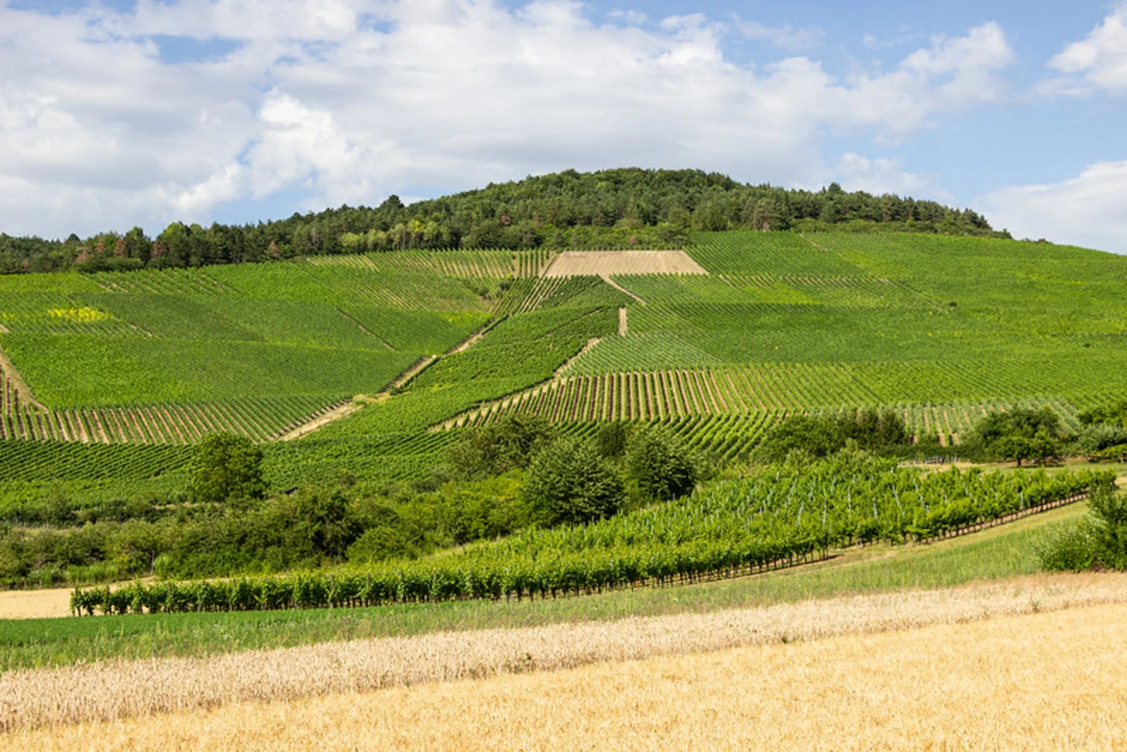
- Historical Vineyards: Around the 3 km (1.9 miles) mark, you'll encounter historical vineyards that have been cultivated for centuries. This area is particularly scenic in the late summer and early autumn when the vines are heavy with grapes.
- Forest Sections: The trail then leads you through dense forested areas, providing a cool and shaded environment. Keep an eye out for local wildlife such as deer, foxes, and a variety of bird species.
Elevation and Terrain
The trail features a gradual ascent, with the most significant elevation gain occurring in the first half of the hike. The terrain is a mix of dirt paths, gravel roads, and some rocky sections. Good hiking boots are recommended for better traction and support.
Navigation
While the trail is well-marked, it's always a good idea to have a reliable navigation tool. The HiiKER app is highly recommended for this trail, offering detailed maps and real-time GPS tracking to ensure you stay on course.
Flora and Fauna
The trail is rich in biodiversity. In the spring and summer months, you'll find a variety of wildflowers in bloom, adding vibrant colors to your hike. The forested sections are home to oak, beech, and pine trees, creating a lush canopy overhead.
Historical Significance
The region around Veitshöchheim has a rich history dating back to Roman times. The vineyards you pass are part of Franconia's long-standing wine-making tradition, and the Veitshöchheim Palace itself has historical significance, having been a summer residence for the Würzburg prince-bishops.
Final Stretch
As you loop back towards Veitshöchheim, the trail descends gently, offering more views of the Main River and the surrounding countryside. The final stretch brings you back to the town center, where you can explore local cafes and restaurants to refuel after your hike.
This trail offers a perfect blend of natural beauty, historical landmarks, and moderate physical challenge, making it a rewarding experience for any hiker.

What to expect?
Activity types
Comments and Reviews
User comments, reviews and discussions about the M Weg and Veitshoechheim Thuengersheim, Germany.
4.25
average rating out of 5
4 rating(s)