Download
3D Flyover
Add to list
More
12.3 km
~3 hrs 29 min
619 m
Loop
“Embark on a scenic 12 km hike through Baden-Baden's lush forests, vibrant wildlife, and panoramic vistas.”
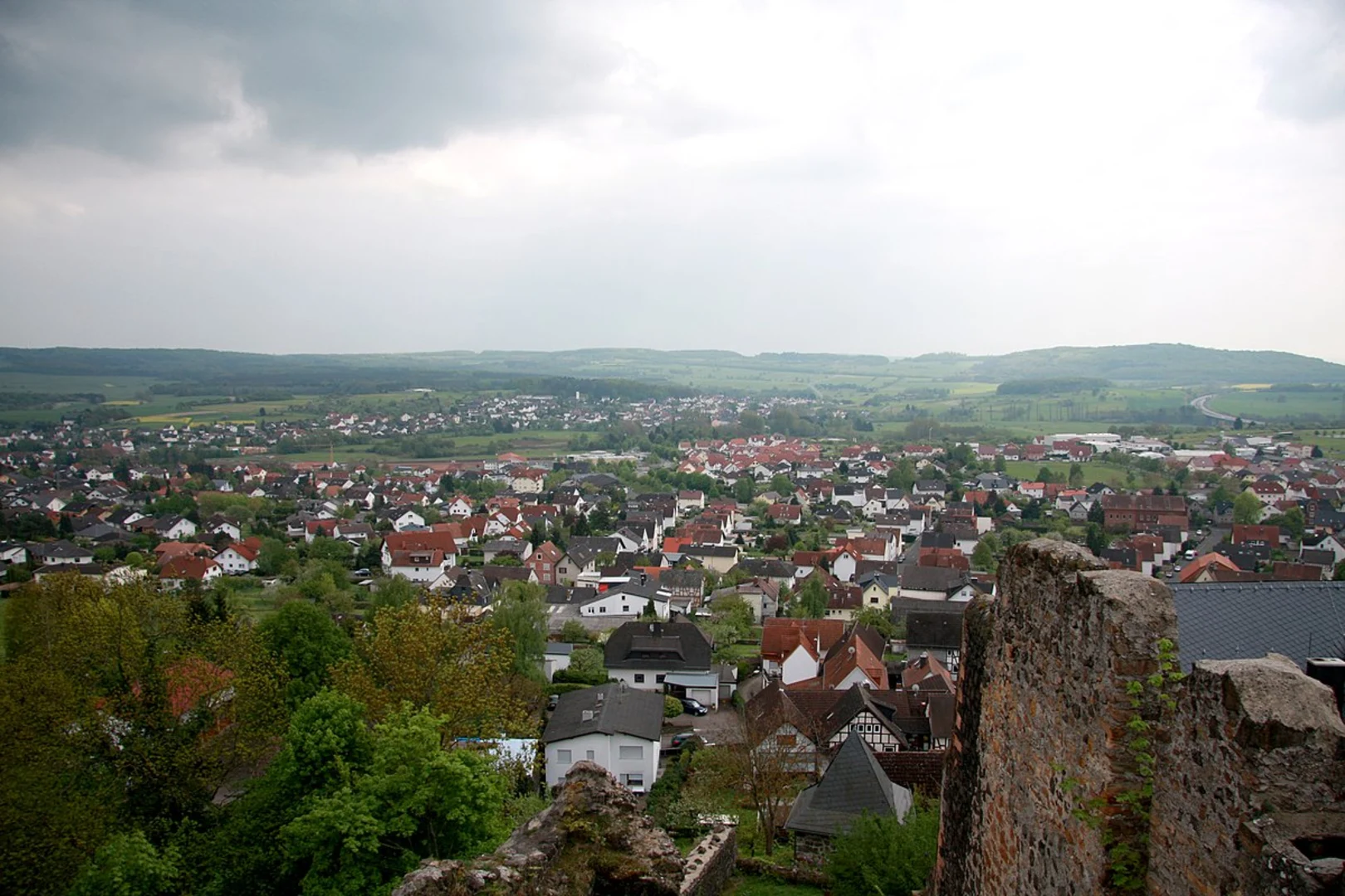
Starting your hike near the picturesque town of Baden-Baden, Germany, the Mastbergle, Nachtigall, and Staufenberg Loop via Wildehege Rundweg offers a delightful 12 km (7.5 miles) journey with an elevation gain of approximately 600 meters (1,968 feet). This loop trail is rated as medium difficulty, making it suitable for moderately experienced hikers.
Getting There
To reach the trailhead, you can either drive or use public transport. If driving, head towards Baden-Baden and look for parking near the trailhead, which is conveniently located close to the town center. For those using public transport, Baden-Baden is well-connected by train and bus services. From the Baden-Baden train station, you can take a local bus to the nearest stop, which is a short walk from the trailhead.
Trail Overview
The trail begins with a gentle ascent through lush forests, offering a serene start to your hike. As you progress, the path becomes steeper, leading you to the first significant landmark, the Mastbergle. This section covers approximately 3 km (1.9 miles) and gains about 200 meters (656 feet) in elevation. The dense canopy provides ample shade, making it a pleasant climb even on warmer days.
Key Landmarks and Points of Interest
Mastbergle
At Mastbergle, take a moment to enjoy the panoramic views of the surrounding Black Forest. This vantage point offers a great opportunity for photography and a brief rest before continuing your journey.
Nachtigall
Continuing from Mastbergle, the trail descends slightly before ascending again towards Nachtigall. This section is around 4 km (2.5 miles) and includes an elevation gain of 150 meters (492 feet). Nachtigall is known for its diverse flora and fauna. Keep an eye out for local wildlife such as deer and various bird species that inhabit the area.
Staufenberg
The final ascent to Staufenberg is the most challenging part of the hike, covering approximately 5 km (3.1 miles) with an elevation gain of 250 meters (820 feet). The effort is well worth it, as Staufenberg offers stunning views of the Rhine Valley and the distant Vosges Mountains in France. This spot is perfect for a longer break, allowing you to soak in the natural beauty and perhaps enjoy a packed lunch.
Historical Significance
The region around Baden-Baden is steeped in history. Baden-Baden itself is a renowned spa town with a history dating back to Roman times. The trails you hike on were once used by local villagers and traders, adding a layer of historical intrigue to your journey. The area is also known for its medieval castles and ruins, some of which can be spotted from various points along the trail.
Navigation and Safety
For navigation, it is highly recommended to use the HiiKER app, which provides detailed maps and real-time updates. The trail is well-marked, but having a reliable navigation tool ensures you stay on track and can enjoy your hike without any worries.
Flora and Fauna
The Black Forest is home to a rich variety of plant and animal life. As you hike, you'll pass through dense forests of pine, spruce, and fir. In spring and summer, the forest floor is carpeted with wildflowers, adding vibrant colors to your journey. Wildlife sightings are common, so keep your camera ready for deer, foxes, and a variety of bird species.
Final Stretch
The descent back to the trailhead is gradual, allowing you to reflect on the day's adventure. This final section is about 3 km (1.9 miles) and is relatively easy, making for a relaxing end to your hike. As you approach the end of the loop, you'll find yourself back in the charming town of Baden-Baden, where you can explore local cafes and restaurants to celebrate your successful hike.

What to expect?
Activity types
Comments and Reviews
User comments, reviews and discussions about the Mastbergle, Nachtigall and Staufenberg Loop via Wildehege Rundweg, Germany.
4.75
average rating out of 5
4 rating(s)