Download
Preview
Add to list
More
10.4 km
~2 hrs 31 min
272 m
Loop
“The Schwarzer Keiler Loop near Aschaffenburg captivates hikers with diverse landscapes, historical landmarks, and moderate challenge.”
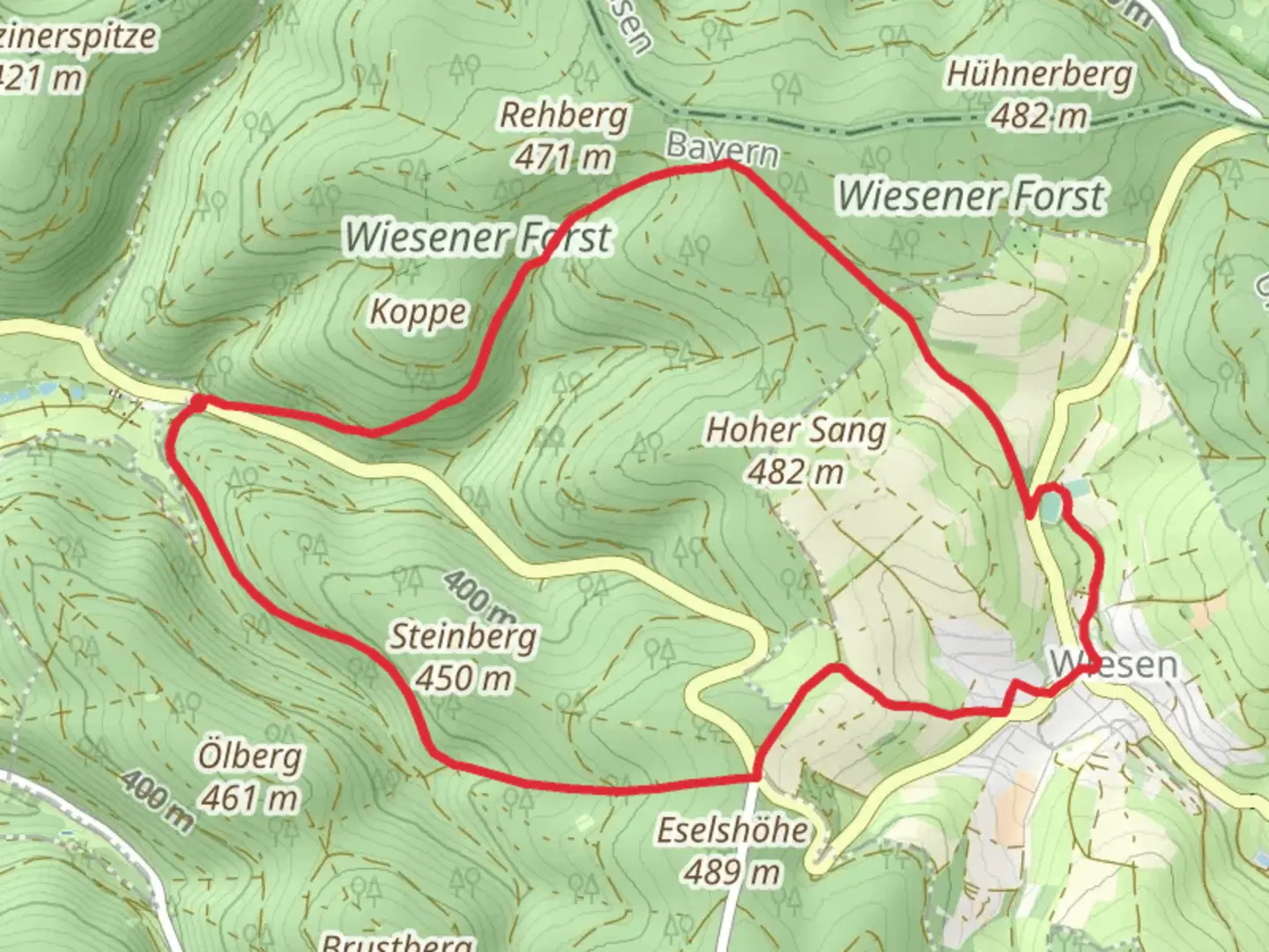
Starting near Aschaffenburg, Germany, the Schwarzer Keiler Loop is a captivating 10 km (6.2 miles) trail with an elevation gain of approximately 200 meters (656 feet). This loop trail is rated as medium difficulty, making it suitable for moderately experienced hikers.
Getting There
To reach the trailhead, you can either drive or use public transport. If you're driving, set your GPS to the vicinity of Aschaffenburg, specifically near the Schönbusch Park, which is a well-known landmark in the area. For those using public transport, take a train to Aschaffenburg Hauptbahnhof (main station). From there, local buses or a short taxi ride can get you to the trailhead near Schönbusch Park.
Trail Overview
The Schwarzer Keiler Loop offers a diverse hiking experience, weaving through dense forests, open meadows, and along serene streams. The trail is well-marked, but it's always a good idea to have a reliable navigation tool like HiiKER to ensure you stay on track.
Key Sections and Landmarks
- Schönbusch Park (0 km / 0 miles): The trail begins near this historic park, which dates back to the 18th century. It's worth taking a moment to explore its English-style gardens and picturesque lakes before you start your hike.
- Forest Path (2 km / 1.2 miles): As you leave the park, the trail leads you into a dense forest. The canopy provides ample shade, making this section particularly pleasant during warmer months. Keep an eye out for local wildlife such as deer and various bird species.
- Open Meadows (4 km / 2.5 miles): Emerging from the forest, you'll traverse open meadows that offer panoramic views of the surrounding countryside. This is a great spot for a short break and some photography.
- Stream Crossing (6 km / 3.7 miles): Around this point, you'll encounter a small stream. There are stepping stones and a wooden bridge to help you cross safely. The sound of flowing water adds a tranquil element to your hike.
- Elevation Gain (8 km / 5 miles): The trail begins to ascend more noticeably here, gaining around 200 meters (656 feet) in elevation. The climb is steady but manageable, offering rewarding views as you approach the summit.
- Summit Viewpoint (9 km / 5.6 miles): Near the highest point of the trail, you'll find a viewpoint that offers sweeping vistas of the Spessart hills and the town of Aschaffenburg in the distance. This is an ideal spot for a final rest before descending back to the trailhead.
Historical Significance
The region around Aschaffenburg has a rich history, with evidence of human settlement dating back to Roman times. The trail itself passes near several historical landmarks, including remnants of old fortifications and ancient trade routes. The nearby Schönbusch Park was designed in the late 18th century by Friedrich Ludwig von Sckell, a prominent landscape architect, and serves as a testament to the area's cultural heritage.
Wildlife and Flora
The Schwarzer Keiler Loop is home to a variety of flora and fauna. In the forested sections, you'll find oak, beech, and pine trees, while the meadows are dotted with wildflowers in the spring and summer. Wildlife enthusiasts might spot deer, foxes, and a variety of bird species, including woodpeckers and owls.
Preparation Tips
Given the medium difficulty rating, it's advisable to wear sturdy hiking boots and bring plenty of water, especially during warmer months. The trail can be muddy in sections after rain, so be prepared for varying trail conditions. A map or navigation tool like HiiKER is recommended to ensure you stay on the correct path.
This trail offers a well-rounded hiking experience with a mix of natural beauty, historical landmarks, and moderate physical challenge, making it a rewarding adventure for those exploring the Aschaffenburg region.

What to expect?
Activity types
Comments and Reviews
User comments, reviews and discussions about the Schwarzer Keiler Loop, Germany.
4.5
average rating out of 5
2 rating(s)