Download
3D Flyover
Add to list
More
9.5 km
~2 hrs 11 min
181 m
Loop
“The Rothenburger Gebsattel trail near Ansbach, Germany, offers a scenic 9 km hike rich in history and nature.”
Starting near the picturesque town of Ansbach in Germany, the Rothenburger Gebsattel trail offers a delightful loop of approximately 9 km (5.6 miles) with an elevation gain of around 100 meters (328 feet). This medium-difficulty trail is perfect for those looking to immerse themselves in the natural beauty and historical richness of the region.
Getting There
To reach the trailhead, you can either drive or use public transport. If driving, set your GPS to Ansbach, a well-known town in the district of Middle Franconia. For public transport, take a train to Ansbach station, which is well-connected to major cities like Nuremberg and Munich. From the station, local buses or a short taxi ride will get you to the trailhead.
Trail Navigation
For navigation, it's highly recommended to use the HiiKER app, which provides detailed maps and real-time updates to ensure you stay on track.
Trail Highlights
The trail begins near Ansbach and quickly immerses you in the serene German countryside. As you start, you'll pass through lush meadows and dense forests, offering a peaceful escape from urban life. The first 2 km (1.2 miles) are relatively flat, making for a gentle warm-up.
Historical Significance
Around the 3 km (1.9 miles) mark, you'll encounter the remnants of medieval fortifications. This area is steeped in history, dating back to the times when the region was a strategic military point. Take a moment to explore these ruins and imagine the historical events that unfolded here.
Nature and Wildlife
As you continue, the trail ascends gently, gaining about 50 meters (164 feet) in elevation over the next 2 km (1.2 miles). This section is rich in biodiversity, with opportunities to spot local wildlife such as deer, foxes, and a variety of bird species. The forest canopy provides ample shade, making it a pleasant hike even on warmer days.
Scenic Views
At approximately 5 km (3.1 miles), you'll reach a scenic viewpoint that offers panoramic views of the surrounding countryside. This is an excellent spot for a break and some photography. The elevation gain here is around 30 meters (98 feet), providing a moderate challenge but rewarding you with stunning vistas.
Return Loop
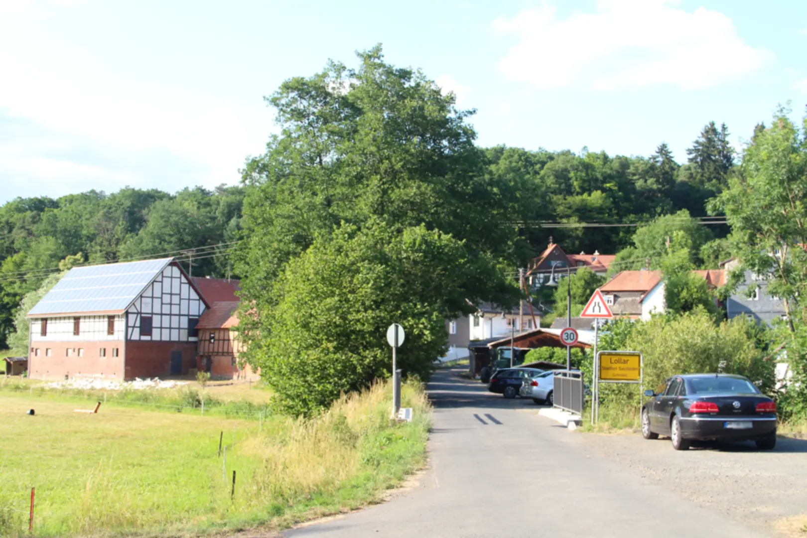
The final 4 km (2.5 miles) of the trail loop back towards Ansbach. This section is predominantly downhill, making for a leisurely descent. You'll pass through charming villages and open fields, giving you a taste of rural German life. Keep an eye out for traditional Bavarian architecture and perhaps even a local farm stand where you can purchase fresh produce.
Practical Tips
- Wear sturdy hiking boots, as some sections can be uneven.
- Bring plenty of water and snacks, especially if you plan to take your time exploring the historical sites and scenic viewpoints.
- Check the weather forecast before you go, as the trail can become muddy after rain.
This trail offers a perfect blend of natural beauty, historical intrigue, and moderate physical challenge, making it a must-visit for any hiking enthusiast.

Comments and Reviews
User comments, reviews and discussions about the Rothenburger Gebsattel, Germany.
4.58
average rating out of 5
12 rating(s)