
Download
3D Flyover
Add to list
More
11.4 km
~2 hrs 51 min
354 m
Loop
“Explore diverse landscapes and rich history on this challenging, breathtaking trail near Amberg-Sulzbach.”
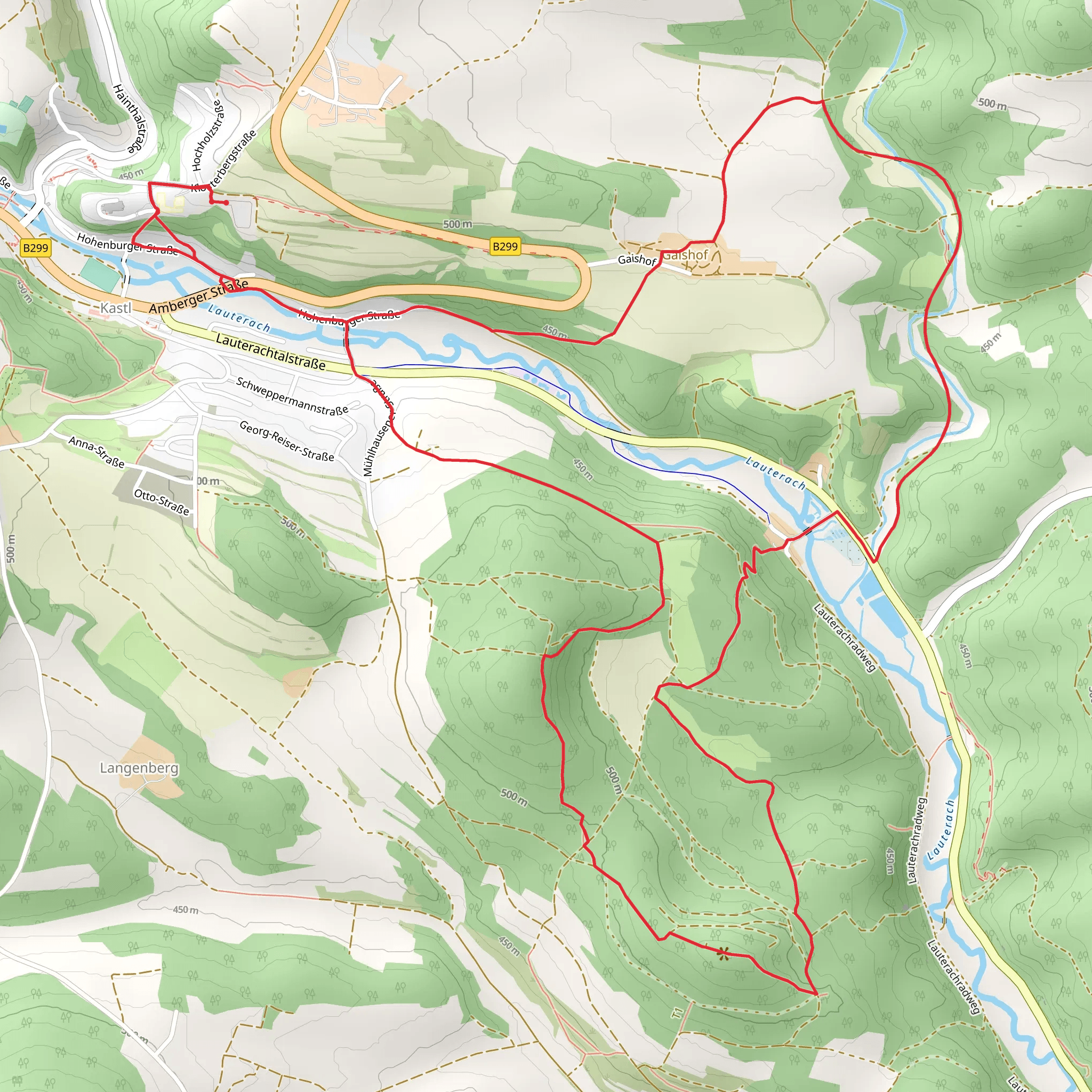
Nestled in the picturesque region near Amberg-Sulzbach, Germany, this challenging loop trail spans approximately 11 kilometers (about 6.8 miles) with an elevation gain of around 300 meters (approximately 984 feet). The trailhead is conveniently accessible by car, with parking available near the starting point. For those relying on public transport, the nearest significant town is Amberg, which is well-connected by train. From Amberg, local buses or a short taxi ride can bring you to the trailhead.
Trail Overview
The Rechenfels via Wacholder Wanderweg and Rotpunkt trail offers a demanding yet rewarding experience for seasoned hikers. As you embark on this loop, prepare for a diverse landscape that includes dense forests, open meadows, and rocky outcrops. The trail is marked by its rugged terrain, requiring good footwear and a keen eye for navigation. Utilizing the HiiKER app can be particularly beneficial for staying on course, as the path can be challenging to follow in certain sections.
Natural Beauty and Wildlife
The trail is renowned for its stunning natural beauty. As you traverse the Wacholder Wanderweg, you'll be greeted by expansive juniper heathlands, which are especially vibrant in spring and early summer. These areas are home to a variety of bird species, making it a delightful spot for birdwatching enthusiasts. Keep an eye out for the European green woodpecker and the Eurasian jay, both of which are commonly spotted here.
As you continue along the Rotpunkt section, the landscape shifts to dense mixed forests. This part of the trail is particularly enchanting in autumn when the foliage transforms into a tapestry of reds, oranges, and yellows. The forest is also home to deer and wild boar, so tread quietly and you might catch a glimpse of these elusive creatures.
Significant Landmarks
One of the trail's highlights is the Rechenfels, a striking rock formation that offers panoramic views of the surrounding countryside. This natural lookout point is an ideal spot for a rest and a picnic, allowing you to soak in the breathtaking vistas. The rock itself has a storied past, with local legends suggesting it was once a site for ancient rituals.
Historical Context
The region around Amberg-Sulzbach is steeped in history, with evidence of human settlement dating back to the Bronze Age. During the Middle Ages, this area was a significant center for iron ore mining, which played a crucial role in the development of the local economy. As you hike, you may come across remnants of old mining operations, particularly near the Rotpunkt section, where interpretive signs provide insight into the area's industrial heritage.
Trail Conditions and Preparation
Given the trail's difficulty rating, it's essential to come prepared. The path can be steep and uneven in places, so sturdy hiking boots are a must. Weather conditions can change rapidly, so pack layers and rain gear. Ensure you have enough water and snacks, as there are no facilities along the trail. The loop nature of the trail means you'll return to your starting point, making logistics straightforward.
This trail offers a challenging yet immensely rewarding experience, combining natural beauty, wildlife, and a touch of history. Whether you're drawn by the promise of panoramic views or the allure of exploring a region rich in cultural heritage, this hike is sure to leave a lasting impression.
Comments and Reviews
User comments, reviews and discussions about the Rechenfels via Wacholder Wanderweg and Rotpunkt, Germany.
4.6
average rating out of 5
5 rating(s)
