Download
Preview
Add to list
More
12.8 km
~2 hrs 43 min
103 m
Point-to-Point
“Embark on a scenic 13 km hike from Nellingen to Geislingen, blending nature, history, and moderate challenge.”
Starting near Alb-Donau-Kreis in Germany, this 13 km (approximately 8 miles) point-to-point trail takes you from Nellingen to Geislingen via Verbindungsweg. The trail offers a moderate challenge with an elevation gain of around 100 meters (328 feet), making it suitable for hikers with some experience.
Getting There
To reach the trailhead, you can either drive or use public transportation. If driving, set your GPS to Nellingen, Alb-Donau-Kreis, Germany. For those using public transport, take a train to Geislingen (Steige) station and then a local bus to Nellingen. The trailhead is conveniently located near the town center, making it easily accessible.
Trail Overview
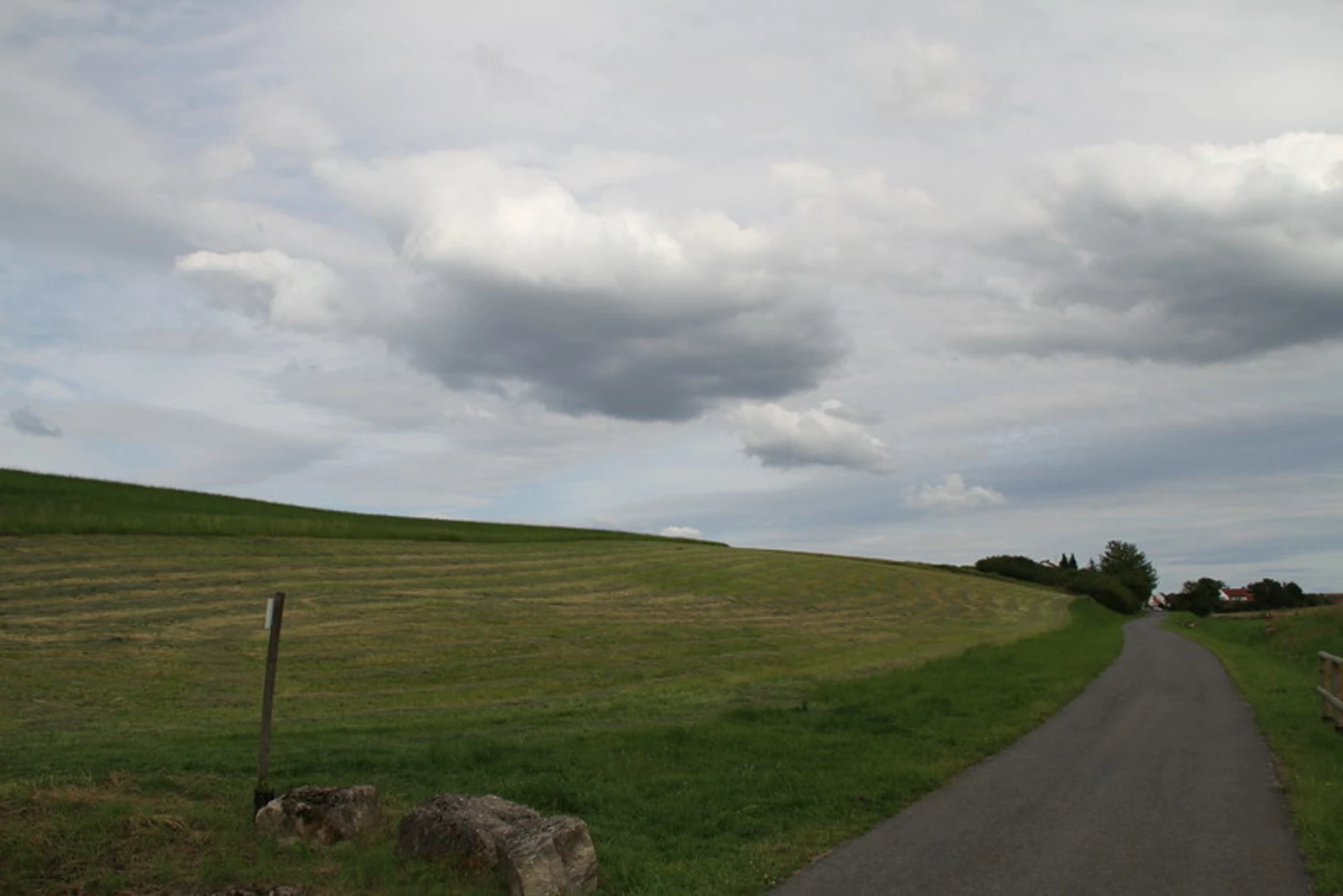
The trail begins in the charming village of Nellingen, known for its picturesque half-timbered houses and serene countryside. As you set off, you'll be greeted by rolling hills and expansive meadows, typical of the Swabian Jura region. The first few kilometers are relatively flat, allowing you to ease into the hike.
Significant Landmarks and Nature
Around the 3 km (1.8 miles) mark, you'll encounter the first significant landmark: the ruins of Helfenstein Castle. Perched on a hill, this medieval fortress offers panoramic views of the surrounding landscape. It's a great spot to take a break and soak in some history.
Continuing on, the trail meanders through dense forests, where you might spot local wildlife such as deer, foxes, and various bird species. The forested sections provide ample shade, making this part of the hike particularly enjoyable during warmer months.
Midway Point and Elevation Gain
At approximately 6 km (3.7 miles), you'll reach the highest point of the trail, with an elevation gain of around 100 meters (328 feet). This section offers stunning vistas of the Swabian Alps and the Albtrauf escarpment. The climb is gradual but steady, so take your time and enjoy the scenery.
Historical Significance
The region is steeped in history, with numerous ancient settlements and Roman roads crisscrossing the landscape. The trail itself follows part of an old trade route, adding a layer of historical intrigue to your hike.
Final Stretch to Geislingen
As you descend towards Geislingen, the trail opens up to more agricultural landscapes, dotted with traditional Swabian farmhouses. The final 3 km (1.8 miles) are relatively easy, allowing you to wind down as you approach the town.
Navigation and Safety
For navigation, it's highly recommended to use the HiiKER app, which provides detailed maps and real-time updates. The trail is well-marked, but having a reliable navigation tool ensures you stay on track.
Arrival in Geislingen
The trail concludes in the historic town of Geislingen, known for its well-preserved medieval architecture and vibrant local culture. Geislingen (Steige) station offers convenient train connections to major cities, making it easy to return to your starting point or continue your journey.
This hike from Nellingen to Geislingen via Verbindungsweg offers a perfect blend of natural beauty, historical landmarks, and moderate physical challenge, making it a rewarding experience for any hiker.

What to expect?
Activity types
Comments and Reviews
User comments, reviews and discussions about the Nellingen to Geislingen via Verbindungsweg, Germany.
average rating out of 5
0 rating(s)