Download
3D Flyover
Add to list
More
97.8 km
7 days
5956 m
Multi Day
“Embark on the GR 52 for an epic alpine odyssey through the historic and scenic splendor of the Mercantour.”
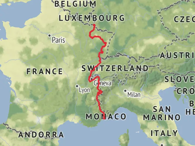
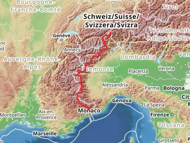
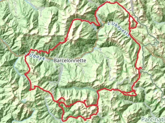
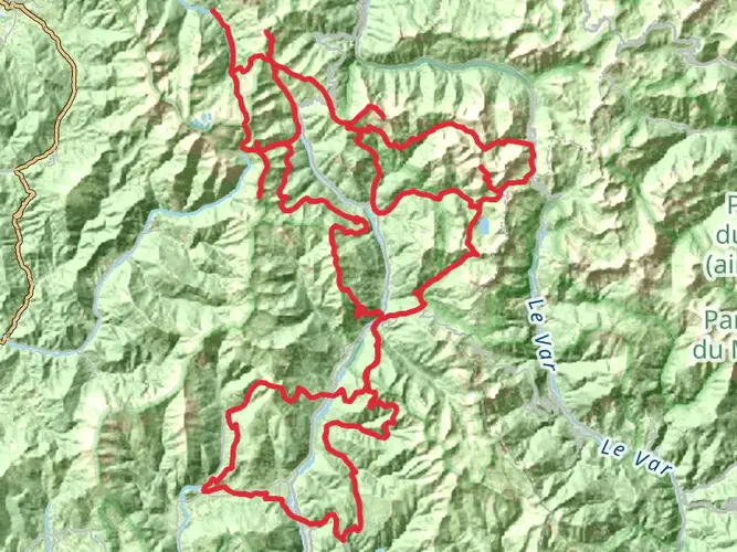
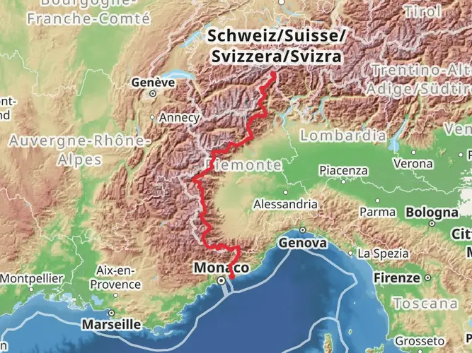
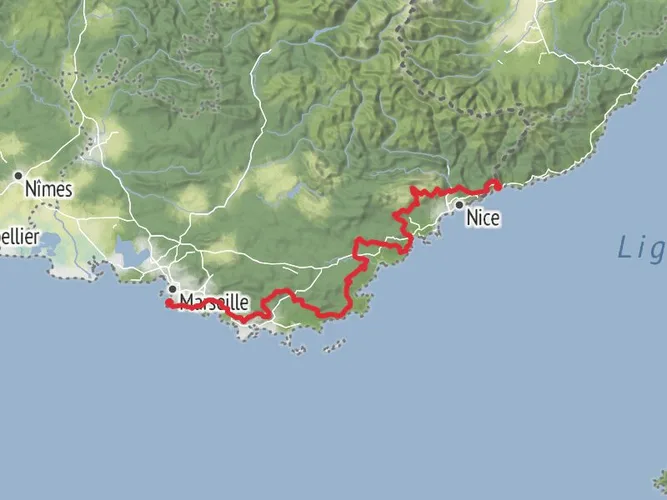
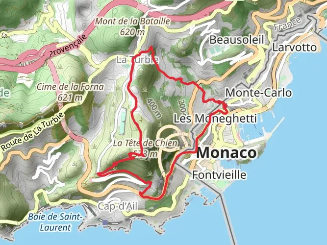
The GR 52, also known as the Panoramic Trail of the Mercantour, is a spectacular journey that spans approximately 97 kilometers (around 60 miles) with an elevation gain of about 5200 meters (approximately 17,060 feet). This point-to-point trail begins near the picturesque coastal town of Menton, France, nestled on the French Riviera, and traverses through the stunning Mercantour National Park before culminating at the mountain refuge of Nice.
Getting to the Trailhead
To reach the starting point of the GR 52, hikers can travel to Menton via train or bus from major cities like Nice or Marseille. If driving, parking is available in Menton, where you can leave your vehicle and embark on your hike. The trailhead is easily accessible from the town center, and hikers can use the HiiKER app to navigate to the exact starting location.
Trail Experience
As you set off from Menton, the trail immediately immerses you in the diverse landscapes of the Alpes-Maritimes department. The initial ascent is a gradual climb through olive groves and citrus orchards, with the Mediterranean Sea providing a stunning backdrop. The trail then leads into the heart of the Mercantour National Park, known for its rich biodiversity and pristine alpine environments.
Landmarks and Natural Beauty
One of the most remarkable features of the GR 52 is the Valley of Wonders (Vallée des Merveilles), which you'll encounter after covering a significant portion of the trail. This area is renowned for its thousands of Bronze Age rock carvings, offering a glimpse into the region's ancient past. The valley is also a UNESCO World Heritage site, adding to its historical significance.
As you progress, the trail takes you through a variety of terrains, from lush meadows dotted with wildflowers to rugged mountain passes. The path weaves through dense forests, alongside crystal-clear streams, and over high alpine ridges, providing hikers with ever-changing scenery and challenges.
Wildlife Encounters
The Mercantour National Park is home to a wide array of wildlife, including chamois, marmots, and the elusive wolf. Birdwatchers will delight in the opportunity to spot golden eagles and griffon vultures soaring above. It's essential to respect the natural habitat of these creatures and observe them from a distance.
Preparation and Planning
Given the trail's medium difficulty rating, hikers should be in good physical condition and have some experience with long-distance trekking. The route is well-marked, but carrying a detailed map or using the HiiKER app for navigation is recommended. The trail can be completed in sections or as a multi-day trek, with various refuges and gîtes along the way for overnight stays.
Weather in the mountains can be unpredictable, so it's crucial to pack appropriate gear for all conditions, including rainwear, warm layers, and sun protection. Water sources are available, but carrying a water filter or purification tablets is advisable.
Access and Amenities
The GR 52 is equipped with several amenities for hikers' convenience. There are designated camping areas, and the mountain refuges offer basic accommodations and meals. It's wise to book these in advance during the peak hiking season.
Upon completing the trail at the Nice refuge, hikers can descend to the city of Nice, where public transport is readily available to return to Menton or continue to other destinations.
The GR 52 is a trail that promises adventure, breathtaking landscapes, and a deep connection with the history and natural beauty of the French Alps. Whether you're seeking solitude or the camaraderie of fellow hikers, this trail offers an unforgettable experience for those who tread its path.
AI Planner
Days planned around your pace, with somewhere to stay each night.

Surfaces
Unknown
Ground
Gravel
Asphalt
Unpaved
Concrete
Wood
Cobblestone
Comments and Reviews
User comments, reviews and discussions about the GR 52, France.
4.6
average rating out of 5
10 rating(s)