
Download
3D Flyover
Add to list
More
7.0 km
~2 hrs 24 min
599 m
Loop
“A steep winter sweep above Cette rewards prepared hikers with crisp valley views and pastoral Pyrenean charm.”
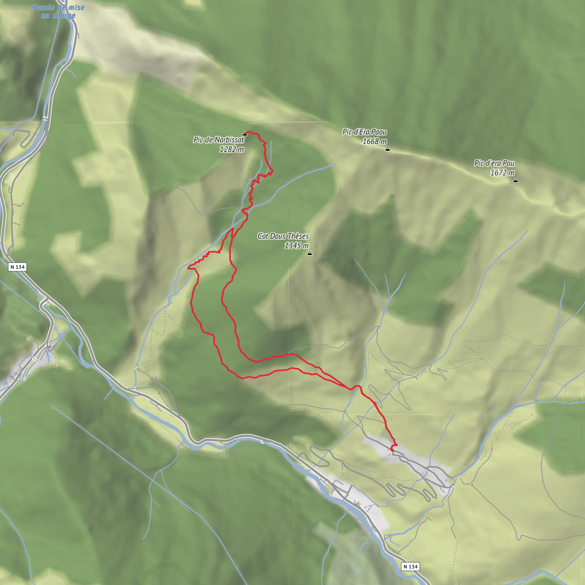
This winter loop climbs above the village of Cette in the Vallée d’Aspe to the rounded summit of Pic de Narbissat, gaining about 600 metres / 2,010 feet over roughly 7 km / 4.4 miles. The route starts from the village square beside Église Saint-Pierre in Cette-Eygun, at approximately 42.938364, -0.585428, which corresponds to the historic center of Cette village, near the church and gîte d’étape, rather than an isolated roadside trailhead. The walk is short on paper but demanding in practice: the ascent is steep early on, footing can be slick on slate and mud, and winter conditions above about 1,000 metres / 3,280 feet can quickly change the seriousness of the outing. (visorando.com)
The first section rises immediately above the church on yellow-marked paths, climbing over slanted slate underfoot before briefly touching a dirt road and then leaving it again. Within the first 0.6 km / 0.4 miles, you are already gaining height and crossing a small stream, where rocks may be slippery in cold weather. A stock barrier appears soon after; it should be closed carefully behind you. This opening stretch sets the tone for the day: direct, physical, and best suited to hikers comfortable with sustained uphill effort from the start. (visorando.com)
Terrain and route character
This is a loop designed especially for the colder months, generally from late autumn into spring, when dead bracken no longer hides the path. In summer, the same line is less practical because vegetation can obscure the trail. Even in winter, the route is not a casual snow walk: heavy snow above 1,000 metres / 3,280 feet can make it unsuitable, and the ground near the upper slopes and around the Cabane de Sabas is known for wet, boggy patches fed by springs. Waterproof boots, trekking poles, and careful pacing are more useful here than lightweight trail shoes. (visorando.com)
After the lower climb, the route enters more wooded and pastoral terrain around Lasies at about 2.2 km / 1.4 miles, then continues to the upper loop junction near 2.7 km / 1.7 miles and around 1,000 metres / 3,280 feet elevation. From there, the path trends toward the Cabane de Sabas at roughly 3.2 km / 2.0 miles, a useful landmark before the final push. The summit of Pic de Narbissat arrives at about 3.8 km / 2.4 miles and around 1,277 to 1,281 metres / 4,190 to 4,203 feet, depending on the source. (visorando.com)
The descent completes the loop back toward Cette, passing a geological discovery site just above the village near the end of the walk. Because the route is circular, the return does not simply retrace the ascent, which helps keep the outing varied, but it also means attention is needed at junctions. For navigation, it is worth loading the route in HiiKER before setting out, especially if low cloud, patchy snow cover, or leaf litter make the path less obvious. (visorando.com)
Landmarks, views, and natural setting
One of the main rewards of this hike is how quickly it opens views over the middle Aspe Valley and the Bedous basin. As height is gained, the village of Cette drops away below, and the route begins to feel more like a balcony over the valley than a simple woodland climb. The summit itself is valued as a viewpoint over the surrounding Pyrenean ridges, with broad sightlines that are especially crisp in winter air. (visorando.com)
The landscape mixes village heritage, old pastoral ground, woodland, and open hillside. Expect undergrowth, grazing infrastructure, and signs of traditional mountain land use rather than a fully wild alpine environment. In colder months, the bare vegetation improves visibility and makes the contours of the valley easier to read. Wildlife can include common Pyrenean birdlife and grazing animals in lower sections; hikers should also watch for muddy ground, frozen patches, and runoff near springs, which are often more consequential than wildlife hazards on this route. The presence of gates and barriers is a reminder that this is still working mountain country. (visorando.com)
Surfaces
Unknown
Gravel
Grass
Comments and Reviews
User comments, reviews and discussions about the Pic de Narbissat via Les Muralhetas – Winter Route, France.
average rating out of 5
0 rating(s)
