
Cabane de Lheze, Cabane de Sargun and Cabane de Narbèze
Download
3D Flyover
Add to list
More
13.0 km
~4 hrs 16 min
1002 m
Loop
“A strenuous Pyrenean loop through shadowy woods and airy pastures, linking three evocative shepherd huts.”
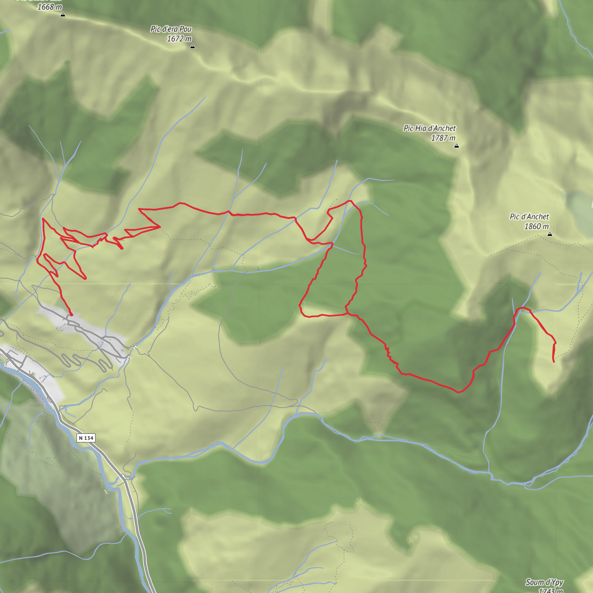
This demanding loop in the upper Aspe Valley links three pastoral shelters above the village of Cette-Eygun: Cabane de Lhèze, the ruined Cabane de Sargun, and Cabane de Narbèze. Expect roughly 13 km / 8.1 mi with about 1,000 m / 3,280 ft of ascent, starting near Place du Fronton by Église Saint-Pierre in the village of Cette, 64490 Cette-Eygun, France, at around 693 m / 2,274 ft elevation. The route is generally considered difficult because the climbing begins quickly, the gradients are sustained, and sections through forest, fern slopes, and pastoral terrain can feel longer than the map suggests. (mapcarta.com)
From the village, the path rises steeply past the local hiking signboards and near the Aspe–Haut Aragon geological discovery area, then joins and leaves a pastoral track several times as it climbs toward the first hut. Early on, the route is straightforward in good visibility, but the steepness can be punishing, especially if the ground is damp. The first major objective is Cabane de Lhèze, a solid stone shepherd shelter at about 1,298 m / 4,259 ft, reached after a long uphill pull through undergrowth, open pasture, and forest edge. This is one of the most attractive pauses on the route, sitting on a grazing plateau backed by woodland and rocky ridges. (visorando.com)
What the route feels like
After Lhèze, the walk becomes more varied and more mountainous in character. The trail traverses woodland and ferny slopes, then continues toward Cabane de Narbèze, the highest and most remote-feeling point on the outing. Around Narbèze, the terrain opens up and the views broaden toward the upper Aspe Valley, the surrounding limestone ridges, and nearby summits such as Pic d’Anchet and Pic de Cautêres. This upper section is where the hike feels most rewarding, but also where weather exposure becomes more noticeable. Wind, mist, and sudden temperature drops can make the final approach feel significantly harder than the raw distance suggests. (visorando.com)
The return typically avoids simply retracing the entire ascent and instead drops by Cabane de Sargun, now in ruins, before descending back toward Lhèze and the village. This makes the outing more interesting, but it also means paying attention at junctions and on less obvious traversing sections. Some descriptions note muddy or boggy ground on the descent, especially in shaded forest or after rain, and the lower path can be slippery where it cuts across steep hillsides. Using HiiKER before setting out is a good idea for checking the loop shape, junctions, and elevation profile. (visorando.com)
Landmarks, terrain, and what to look out for
The three cabanes are the defining landmarks, but the route’s character comes just as much from the transition between environments. The lower slopes are enclosed and humid, with beech-fir woodland, narrow path sections, and occasional ravine crossings. Higher up, the forest gives way to grazing clearings and open mountain shoulders where the huts sit in classic pastoral country. The contrast between enclosed ascent and airy upper slopes is one of the strongest features of the walk. (visorando.com)
Wildlife is typical of the western Pyrenees. Hikers should keep an eye out for isard on the higher slopes and for large raptors overhead, including eagles and vultures that use the valley’s uplift and cliff systems. Livestock may be present around the grazing areas near the huts in the warmer months, so give animals space and expect the ground to be churned or muddy in places. In early summer, ferns and grasses can partly hide the tread; later in the season, heat on exposed sections can add to the difficulty. (ofb.gouv.fr)
Because the route
Surfaces
Unknown
Gravel
Dirt
Grass
Comments and Reviews
User comments, reviews and discussions about the Cabane de Lheze, Cabane de Sargun and Cabane de Narbèze, France.
average rating out of 5
0 rating(s)
