
Cabane d'Arna, Cabane de Pedaing, Cabane de Lheze and Borde Minvielle Loop
Download
3D Flyover
Add to list
More
8.8 km
~3 hrs 3 min
773 m
Loop
“A steep, soulful Pyrenean loop threads ruins, ferny pastures, and grand valley views.”
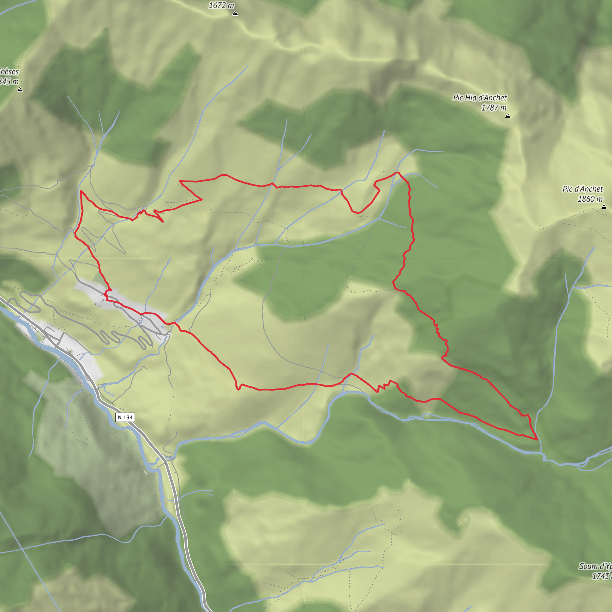
This difficult loop packs a lot into roughly 9 km / 5.6 miles, climbing about 800 m / 2,625 ft from the hillside village of Cette in the Aspe Valley. The route links a string of pastoral shelters and ruins—Cabane d’Arna, Cabane de Pédaing, Cabane de Lhèze, and Borde Minvielle—while moving through steep forest, ferny slopes, small stream crossings, and open grazing ground with broad views toward the high Béarn Pyrenees. The start is best understood as the village of Cette, 64490 Cette-Eygun, Pyrénées-Atlantiques, France, near the Église Saint-Pierre de Cette and the hamlet approach signed off Route du Somport. Sources describing this circuit place the start in Village de Cette at about 688 m / 2,257 ft elevation. (visorando.com)
The climbing begins quickly and rarely lets up for long. Although the total distance is modest, the gradient, intermittent path clarity, and rough mountain footing make it feel more serious than the mileage suggests. Expect a sustained ascent through wooded terrain to the ruined Cabane d’Arna at around 1.85 km / 1.1 miles, then a steeper continuation toward Cabane de Pédaing at roughly 3.45 km / 2.1 miles and about 1,365 m / 4,478 ft. The high point of the loop comes shortly after, near a junction around 4.2 km / 2.6 miles and roughly 1,499 m / 4,918 ft, before the route bends into a descending traverse toward Cabane de Lhèze and then back down to Cette. (visorando.com)
What the route feels like on the ground
From Cette, the trail heads uphill on old mountain paths used to access summer pasture. Early on, the route leaves the main way and crosses a sloping track near a penstock line, then continues across the hillside. This section needs attention: published route notes warn that the path can become faint near rocky spurs and that it may be easy to drift toward the Escuarpe torrent if you are not watching carefully. Around here, the terrain is a mix of leaf litter, roots, and narrow tread, with sections where ferns can crowd the line of travel. HiiKER is the navigation tool to have ready before setting out. (visorando.com)
Cabane d’Arna appears relatively early, but it is a ruin rather than a reliable shelter. It serves more as a landmark than a rest stop, and it marks the transition from the lower forest approach to the more committed middle climb. Beyond it, the route rejoins a larger track only briefly before peeling off again onto a less obvious path through ferns and across a small stream. That crossing is not usually a major obstacle in normal conditions, but after rain it can make the slope slick and slow. (visorando.com)
Higher up, the route to Cabane de Pédaing becomes more scenic and more exposed to mountain conditions. The clearing around Pédaing gives a stronger sense of the pastoral landscape, with open ground and grazing areas replacing the enclosed feel of the woods. This is one of the most attractive parts of the loop, but it is also where weather can change the experience quickly—mist, wind, or lingering snow can make navigation and footing much harder than the distance suggests. Route notes also mention that in snowy periods snowshoes may be needed to reach Pédaing. (visorando.com)
After the upper junction, the trail descends on the main path toward Cabane de Lhèze. This section alternates between undergrowth, muddy patches, and ferny traverses before opening into pasture again. Cabane de Lhèze is in better condition than some of the other structures on the loop and sits in a fine viewpoint position above the valley. From there, the descent continues on a combination of path, track, and shortcuts that cut across bends on the way back to Cette.
Surfaces
Unknown
Dirt
Gravel
Asphalt
Grass
Comments and Reviews
User comments, reviews and discussions about the Cabane d'Arna, Cabane de Pedaing, Cabane de Lheze and Borde Minvielle Loop, France.
average rating out of 5
0 rating(s)
