Download
3D Flyover
Add to list
More
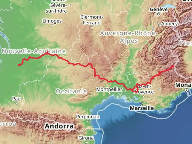
169.5 km
~7 days
4763 m
Multi-Day
“Hike the Luberon's vibrant tapestry of history, nature, and Provençal charm on a moderate trek.”
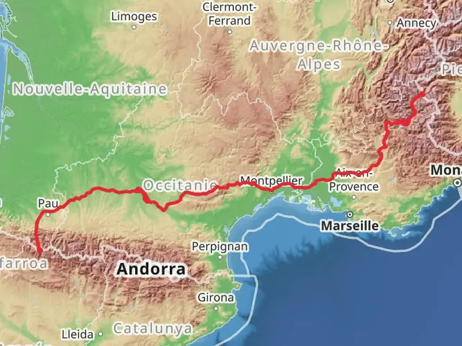
Embarking on the Tour of Luberon, hikers will traverse the heart of Provence, experiencing the quintessential landscapes and historical richness that this region of France has to offer. The trail spans approximately 169 kilometers (about 105 miles) with an elevation gain of around 4700 meters (approximately 15,420 feet), starting near the town of Apt. This point-to-point journey is rated as medium difficulty, making it accessible to hikers with a reasonable level of fitness and experience.
Getting to the Trailhead
The trailhead, located near Apt, is reachable by public transport or car. For those opting for public transport, regional buses from Avignon or Aix-en-Provence can drop you in Apt, where you can begin your hike. If driving, parking is available in Apt, allowing you to leave your vehicle and retrieve it upon completion of your hike, which may require a bus ride back from the trail's end.
Navigating the Trail
Hikers can rely on HiiKER to navigate the trail, ensuring they stay on the correct path and can anticipate upcoming changes in terrain or elevation. The app provides detailed maps and waypoints that are invaluable for a successful trek.
Landmarks and Historical Significance
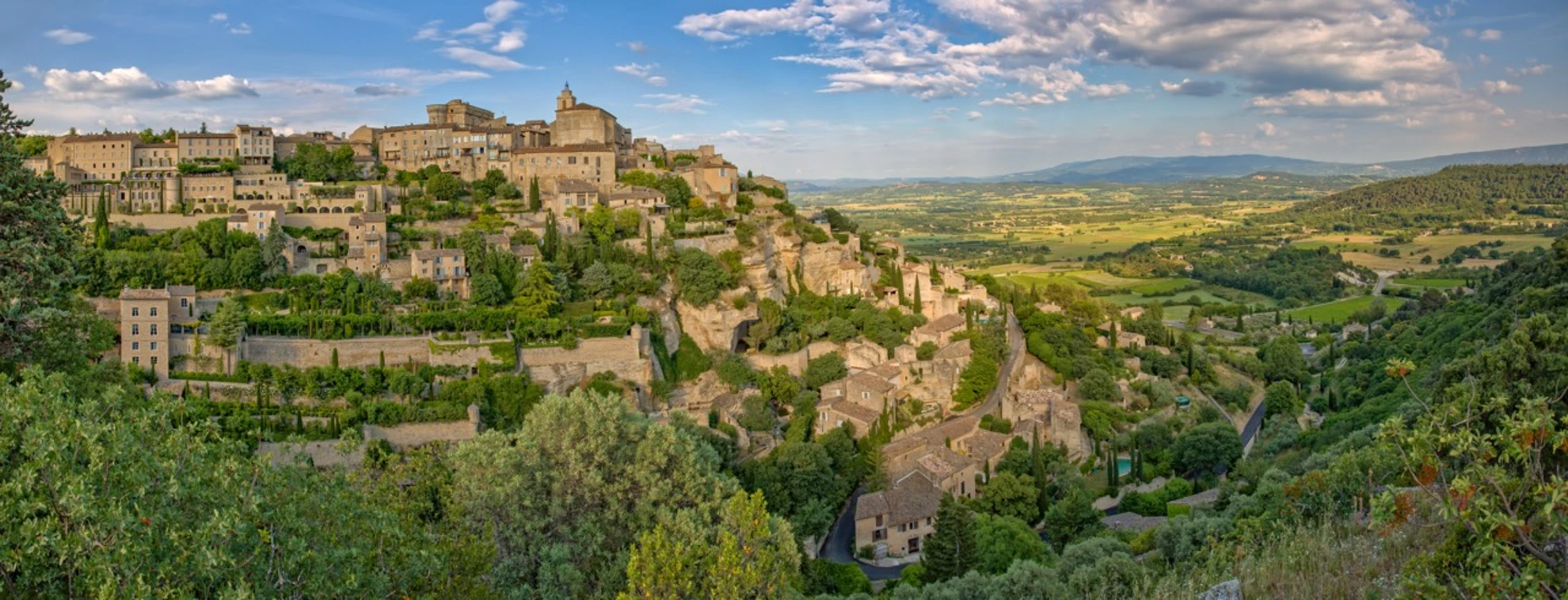
The Luberon region is steeped in history, with the trail winding through ancient hilltop villages like Bonnieux, Lacoste, and Ménerbes, each offering panoramic views and a glimpse into the past with their medieval architecture. The area is also known for its association with Peter Mayle's book "A Year in Provence," which has made these towns famous.
Natural Beauty and Wildlife
The natural landscape is a tapestry of vineyards, olive groves, and cherry orchards, with the trail often bordered by the iconic purple fields of lavender, particularly if you're hiking in the summer months. The Luberon is also a designated Biosphere Reserve, so hikers can expect to encounter a diverse range of flora and fauna, including birds of prey, wild herbs, and the unique oaks of the region.
Trail Highlights and Challenges
The route offers a mix of gentle walks through valleys and more challenging ascents to the crests of the Luberon mountains. One of the most significant elevation gains occurs as you approach the Mourre Nègre, the highest point in the Luberon, offering spectacular views.
Preparation and Planning
Hikers should prepare for a variety of weather conditions, as the trail can be warm during the day and cool in the evenings. It's essential to pack sufficient water, as the Mediterranean climate can be dry, and hydration is key. Accommodations along the route vary from campsites to guesthouses, so planning your stops in advance is recommended, especially during the peak season.
Conclusion
The Tour of Luberon is a journey that not only challenges the body but also enriches the soul with its cultural heritage, natural beauty, and the warm hospitality of the Provencal villages. Whether you're looking for a physical challenge or a cultural experience, this trail promises an unforgettable adventure through the heart of Provence.

Frequently asked questions
How long does the Tour of Luberon usually take to hike?
The Tour of Luberon is 169.46 km long with 4,763 m of climbing, so it is generally treated as a multi-day trek rather than a weekend walk. A typical itinerary is around 8 to 12 days, depending on daily mileage, lodging plans, and how much time is spent in villages such as Bonnieux, Lacoste, and Ménerbes.
Where does the Tour of Luberon start, and how do hikers get to the trail from Apt?
The Tour of Luberon starts near Apt in the Vaucluse department of Provence. Apt has a bus station on Avenue de la Libération with direct regional coach links to Avignon TGV, Avignon Centre, Aix-en-Provence, Marseille, Manosque, Cavaillon, and Digne, which makes it one of the easiest access points for starting the route without a car.
What villages and landmarks are seen on the Tour of Luberon?
The Tour of Luberon passes through some of the best-known hill villages in the massif, including Bonnieux, Lacoste, and Ménerbes, with nearby highlights in the wider circuit often including Gordes, Roussillon, Oppède, Fontaine-de-Vaucluse, and Buoux. Notable landmarks in the area include the cedar forest above Bonnieux, the Château de Lacoste, and the ochre landscapes around Roussillon.
Is the Tour of Luberon difficult?
Yes. The Tour of Luberon is rated Difficult, and the numbers explain why: 169.46 km of distance and 4,763 m of total ascent. Even though the Luberon is not alpine terrain, the route involves repeated climbs between valleys, ridgelines, and perched villages, so it suits hikers with solid endurance and experience over several consecutive days.
When is the best time of year to hike the Tour of Luberon?
Spring and fall are usually the best seasons for the Tour of Luberon. In the Luberon, autumn and spring are widely regarded as the strongest hiking periods because temperatures are milder, villages are still active, and summer can bring intense heat and temporary access restrictions in forest areas because of wildfire risk.
Can hikers reach the Tour of Luberon from Aix-en-Provence without a car?
Yes. Apt is linked by regional coach services to Aix-en-Provence, so the Tour of Luberon can be started without driving. That matters for a long multi-day route, because hikers can arrive in Apt by bus, begin on foot near town, and avoid the logistics of moving a car between stages.
Comments and Reviews
User comments, reviews and discussions about the Tour of Luberon, France.
5.0
average rating out of 5
7 rating(s)