Download
Preview
Add to list
More
8.1 km
~2 hrs 3 min
273 m
Loop
“Discover Elmley Castle's scenic 8 km loop, blending breathtaking views, historical ruins, and diverse wildlife.”
Starting near the picturesque village of Elmley Castle in Worcestershire, England, this circular walk spans approximately 8 km (5 miles) with an elevation gain of around 200 meters (656 feet). The trailhead is conveniently located near the village center, making it accessible by both car and public transport. If you're driving, you can park near the village hall or the church. For those using public transport, the nearest train station is in Pershore, from where you can take a local bus or taxi to Elmley Castle.
Initial Ascent and Woodland Path
The trail begins with a gentle ascent through open fields, offering panoramic views of the surrounding countryside. As you climb, you'll pass through a series of ancient woodlands, rich with native flora and fauna. Keep an eye out for bluebells in the spring and a variety of bird species year-round. The initial climb is about 1.5 km (0.9 miles) with an elevation gain of approximately 100 meters (328 feet), making it a moderate start to your hike.
Historical Significance
One of the highlights of this trail is the historical significance of Elmley Castle itself. Although the castle is now in ruins, it dates back to the Norman Conquest and was once a formidable fortress. The ruins are located about 3 km (1.8 miles) into the hike and offer a fascinating glimpse into England's medieval past. Information boards provide context and history, making it a great spot for a brief rest and some exploration.
Scenic Ridge Walk
After exploring the castle ruins, the trail continues along a scenic ridge, offering stunning views of Bredon Hill and the Vale of Evesham. This section is relatively flat and stretches for about 2 km (1.2 miles), making it a perfect opportunity to catch your breath and take in the scenery. The ridge is also a great spot for a picnic, with several benches and open areas to sit and relax.
Descent and Farmland
The descent begins gradually, leading you through a patchwork of farmland and meadows. This section is about 2.5 km (1.5 miles) long and features a mix of well-trodden paths and narrower tracks. Be mindful of livestock and always close gates behind you. The final stretch of the descent brings you back into the village of Elmley Castle, completing the loop.
Navigation and Safety
For navigation, it's highly recommended to use the HiiKER app, which provides detailed maps and real-time GPS tracking to ensure you stay on course. The trail is well-marked, but having a reliable navigation tool can be invaluable, especially in the more remote sections.
Flora and Fauna
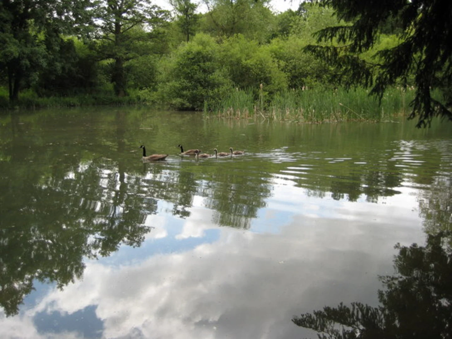
Throughout the hike, you'll encounter a diverse range of plant and animal life. The woodlands are home to deer, foxes, and a variety of bird species, while the open fields and meadows attract butterflies and bees. Seasonal changes bring different highlights, from spring wildflowers to autumn foliage, making this trail a year-round delight.
Getting There
To reach the trailhead, if you're driving, set your GPS to Elmley Castle Village Hall or St. Mary's Church in Elmley Castle. For public transport users, take a train to Pershore Station and then a local bus or taxi to Elmley Castle. The village is well-signposted, and the trailhead is easy to find once you arrive.
This trail offers a perfect blend of natural beauty, historical intrigue, and moderate physical challenge, making it an excellent choice for hikers of all levels.

What to expect?
Activity types
Comments and Reviews
User comments, reviews and discussions about the Elmley Castle Circular Walk, England.
4.5
average rating out of 5
6 rating(s)