Download
Preview
Add to list
More
18.9 km
~5 hrs 13 min
868 m
Loop
“Embark on a 19 km adventure through lush meadows, rocky ascents, and breathtaking Lake District vistas.”
Starting your adventure near Westmorland and Furness, England, the White Pike, Calfhow Pike, Watson's Dodd, and Hart Side Loop is a captivating 19 km (approximately 11.8 miles) loop trail with an elevation gain of around 800 meters (2,625 feet). This medium-difficulty hike offers a blend of natural beauty, historical significance, and diverse wildlife.
Getting There
To reach the trailhead, you can drive or use public transport. If driving, head towards the nearest significant landmark, the village of Threlkeld, which is well-connected by local roads. For those using public transport, the nearest train station is Penrith, from where you can catch a bus to Threlkeld. From Threlkeld, it's a short walk to the trailhead.
Trail Overview
The loop begins with a gradual ascent towards White Pike. The initial section is relatively gentle, allowing you to warm up as you traverse through lush meadows and past ancient stone walls. Keep an eye out for local wildlife, including red squirrels and various bird species.
White Pike to Calfhow Pike
After approximately 4 km (2.5 miles), you'll reach White Pike. The elevation gain here is about 200 meters (656 feet), offering panoramic views of the surrounding fells. From White Pike, the trail becomes steeper as you head towards Calfhow Pike. This section is rocky and can be slippery, so sturdy hiking boots are recommended. The distance between White Pike and Calfhow Pike is around 3 km (1.9 miles), with an additional elevation gain of 150 meters (492 feet).
Calfhow Pike to Watson's Dodd
The trail then leads you to Watson's Dodd, a further 2 km (1.2 miles) away. This part of the hike is less strenuous, with a more gradual incline. Watson's Dodd offers stunning views of the Helvellyn range and the serene Thirlmere Reservoir. This is a great spot for a short break and some photography.
Watson's Dodd to Hart Side
Continuing on, the path to Hart Side is about 5 km (3.1 miles) and involves a mix of ascents and descents. The terrain here is varied, with sections of grassy paths and rocky outcrops. Hart Side is the highest point of the loop, providing breathtaking vistas of the Lake District. The elevation gain from Watson's Dodd to Hart Side is approximately 250 meters (820 feet).
Historical Significance
The region is steeped in history, with ancient stone circles and remnants of old settlements scattered along the trail. The area around Threlkeld has been inhabited since the Bronze Age, and you may come across historical markers and information boards detailing the rich past of this landscape.
Wildlife and Flora
The trail is a haven for nature enthusiasts. Depending on the season, you might see wildflowers like bluebells and heather. The area is also home to various bird species, including peregrine falcons and buzzards. Keep your camera ready for some excellent wildlife photography opportunities.
Navigation and Safety
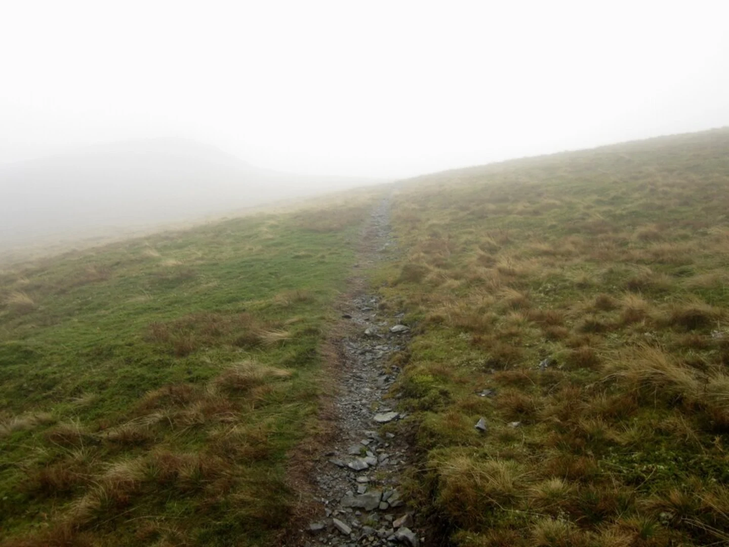
Given the varied terrain and potential for sudden weather changes, it's advisable to use a reliable navigation tool like HiiKER to stay on track. Ensure you have a map and compass as backups. The trail is well-marked, but fog and mist can reduce visibility, making navigation challenging.
Final Stretch
The descent back to the trailhead is around 5 km (3.1 miles) and relatively gentle, allowing you to enjoy the final leg of your journey. The path winds through picturesque valleys and past babbling brooks, offering a peaceful end to your hike.
Prepare adequately with water, snacks, and appropriate clothing, and you'll find this loop trail to be a rewarding experience, rich in natural beauty and historical intrigue.

What to expect?
Activity types
Comments and Reviews
User comments, reviews and discussions about the White Pike, Calfhow Pike, Watson's Dodd and Hart Side Loop, England.
5.0
average rating out of 5
4 rating(s)