Download
Preview
Add to list
More
13.7 km
~3 hrs 40 min
552 m
Loop
“Explore the scenic 14 km Tom Heights, Tarn Hows, and Black Crag Loop, rich in history and natural beauty.”
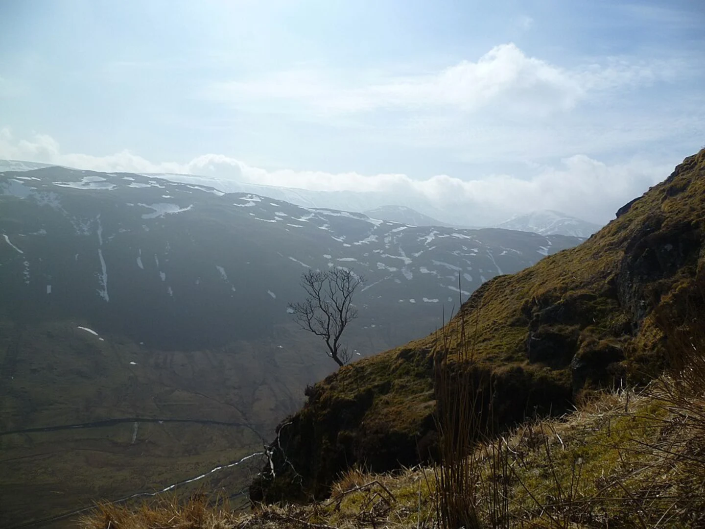
Starting near Westmorland and Furness, England, the Tom Heights, Tarn Hows and Black Crag Loop - Skelwith Bridge trail offers a delightful 14 km (8.7 miles) loop with an elevation gain of approximately 500 meters (1,640 feet). This medium-difficulty trail is perfect for those looking to experience the natural beauty and historical richness of the Lake District.
Getting There
To reach the trailhead, you can drive or use public transport. If driving, head towards Skelwith Bridge, where parking is available. For those using public transport, the nearest significant landmark is Ambleside, which is well-connected by bus services from major towns like Windermere and Kendal. From Ambleside, a short bus ride or taxi can take you to Skelwith Bridge.
Trail Overview
The trail begins near Skelwith Bridge, a charming village known for its picturesque scenery. As you start your hike, you'll follow well-marked paths that gradually ascend towards Tom Heights. The initial part of the trail is relatively gentle, allowing you to warm up as you take in the lush greenery and occasional glimpses of local wildlife such as red squirrels and various bird species.
Tom Heights
At around 3 km (1.9 miles) into the hike, you'll reach Tom Heights. This section offers panoramic views of the surrounding fells and valleys. The elevation gain here is moderate, making it a good spot to take a break and enjoy the scenery. The area is rich in flora, with heather and bracken adding a splash of color to the landscape.
Tarn Hows
Continuing on, you'll head towards Tarn Hows, approximately 6 km (3.7 miles) from the start. Tarn Hows is a man-made lake created in the 19th century by James Garth Marshall, who combined three smaller tarns. Today, it is one of the most photographed spots in the Lake District, known for its serene waters and the surrounding woodland. The path around Tarn Hows is relatively flat, making it a pleasant and easy walk.
Black Crag
The next significant landmark is Black Crag, located about 9 km (5.6 miles) into the hike. The ascent to Black Crag is steeper, but the effort is well worth it. At an elevation of 323 meters (1,060 feet), Black Crag offers stunning views of the Langdale Pikes and Coniston Fells. This is a great spot for photography and a well-deserved rest.
Historical Significance
The Lake District has a rich history, and this trail is no exception. The area around Tarn Hows was once part of the Monk Coniston estate, owned by Beatrix Potter, the famous children's author and conservationist. Her efforts helped preserve much of the natural beauty you see today. Additionally, the region has a history of mining and quarrying, remnants of which can still be seen along the trail.
Navigation and Safety
For navigation, it is highly recommended to use HiiKER, which provides detailed maps and real-time updates. The trail is generally well-marked, but having a reliable navigation tool ensures you stay on track. Weather in the Lake District can be unpredictable, so come prepared with waterproof clothing and sturdy hiking boots. Always check the weather forecast before setting out and inform someone of your plans.
Wildlife and Flora
The trail is a haven for nature enthusiasts. Keep an eye out for red squirrels, deer, and a variety of bird species. The flora is equally impressive, with ancient woodlands, heather-covered moorlands, and vibrant wildflowers depending on the season.
This trail offers a perfect blend of natural beauty, historical significance, and moderate physical challenge, making it a must-do for any hiking enthusiast visiting the Lake District.

What to expect?
Activity types
Comments and Reviews
User comments, reviews and discussions about the Tom Heights, Tarn Hows and Black Crag Loop - Skelwith Bridge, England.
5.0
average rating out of 5
1 rating(s)