Download
Preview
Add to list
More
10.9 km
~2 hrs 44 min
341 m
Loop
“This 11 km loop trail near Westmorland and Furness blends natural beauty, moderate challenges, and historical intrigue.”
Starting near Westmorland and Furness in England, this 11 km (approximately 6.8 miles) loop trail offers a delightful mix of natural beauty, moderate challenges, and historical intrigue. With an elevation gain of around 300 meters (approximately 984 feet), it is rated as a medium difficulty hike, making it suitable for moderately experienced hikers.
Getting There
To reach the trailhead, you can drive or use public transport. If driving, head towards Skelwith Bridge, which is easily accessible from the A593 road. For those using public transport, the nearest significant landmark is Ambleside, which is well-connected by bus services from major towns like Windermere and Kendal. From Ambleside, you can take a local bus or taxi to Skelwith Bridge.
Trail Overview
The trail begins near Skelwith Bridge, a quaint village known for its picturesque stone bridge over the River Brathay. As you start your hike, you'll be greeted by lush greenery and the soothing sounds of flowing water. The initial part of the trail is relatively flat, making for a gentle warm-up.
Skelwith Force
About 1.5 km (approximately 0.9 miles) into the hike, you'll encounter Skelwith Force, a small but powerful waterfall. This is a great spot for a short break and some photography. The waterfall is particularly impressive after a period of rain, when the water flow is at its peak.
Stag End
Continuing on, the trail gradually ascends towards Stag End. This section involves a moderate climb, gaining around 150 meters (approximately 492 feet) in elevation over the next 3 km (approximately 1.9 miles). The path here is well-marked but can be rocky, so sturdy hiking boots are recommended. As you ascend, you'll be treated to panoramic views of the surrounding fells and valleys.
Elterwater
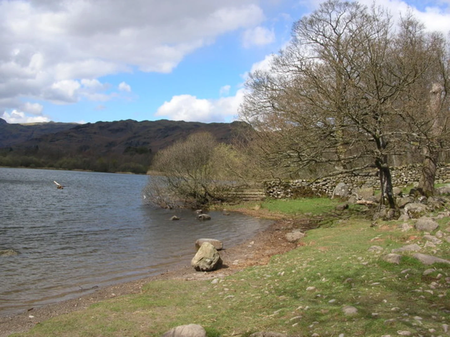
After reaching the highest point near Stag End, the trail descends towards Elterwater, a serene lake surrounded by woodland. This section is about 4 km (approximately 2.5 miles) from Stag End and involves a descent of around 100 meters (approximately 328 feet). Elterwater is a perfect spot for a longer rest, with its tranquil waters and abundant birdlife. Keep an eye out for herons and kingfishers, which are commonly seen here.
Historical Significance
The area around Elterwater has a rich history, with evidence of human settlement dating back to the Neolithic period. The nearby village of Elterwater was historically a center for slate quarrying, and remnants of this industry can still be seen in the form of old quarry workings and slate fences.
Return to Skelwith Bridge
The final leg of the loop takes you back to Skelwith Bridge, covering a distance of about 2.5 km (approximately 1.6 miles). This section is relatively flat and follows well-trodden paths through meadows and woodlands. As you approach the end of the trail, you'll pass by Skelwith Bridge Hotel, a great place to relax and enjoy some refreshments after your hike.
Navigation
For navigation, it's highly recommended to use the HiiKER app, which provides detailed maps and real-time GPS tracking to ensure you stay on the right path. The trail is generally well-marked, but having a reliable navigation tool can enhance your hiking experience and provide peace of mind.
This loop trail offers a wonderful blend of natural beauty, moderate physical challenge, and historical interest, making it a rewarding experience for any hiker.

Comments and Reviews
User comments, reviews and discussions about the Skelwith Bridge, Stag End and Elterwater Loop, England.
4.5
average rating out of 5
2 rating(s)