Download
3D Flyover
Add to list
More
Trail length
10.3 km
Time
~2 hrs 32 min
Elevation Gain
298 m
Hike Type
Point to Point
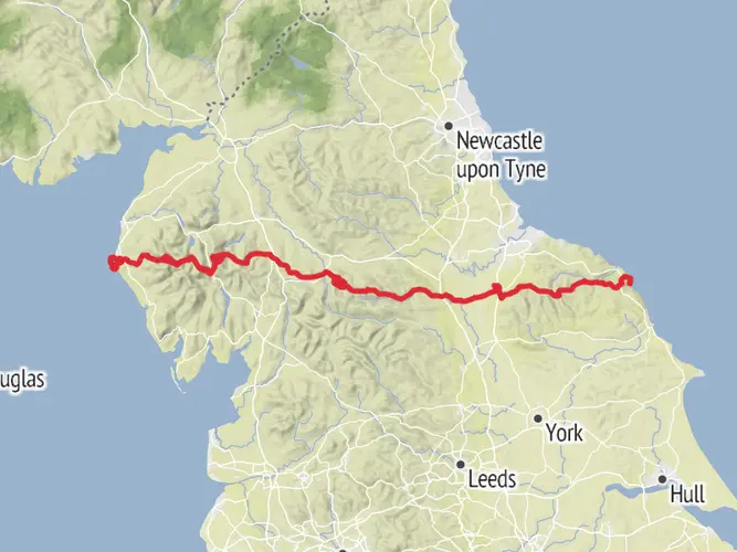
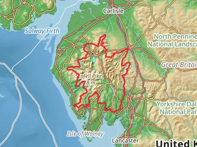
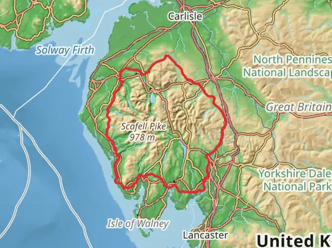
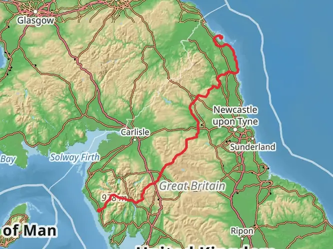
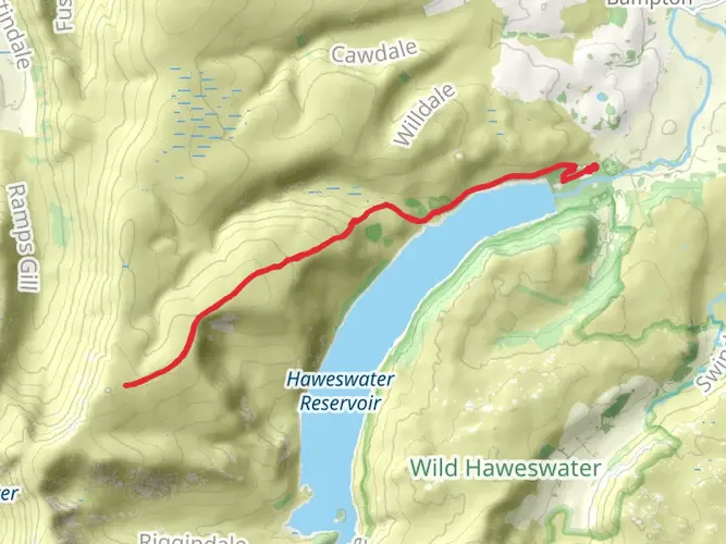
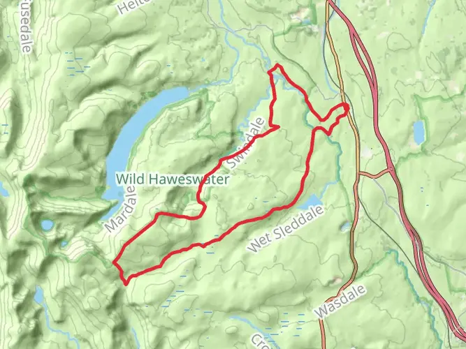
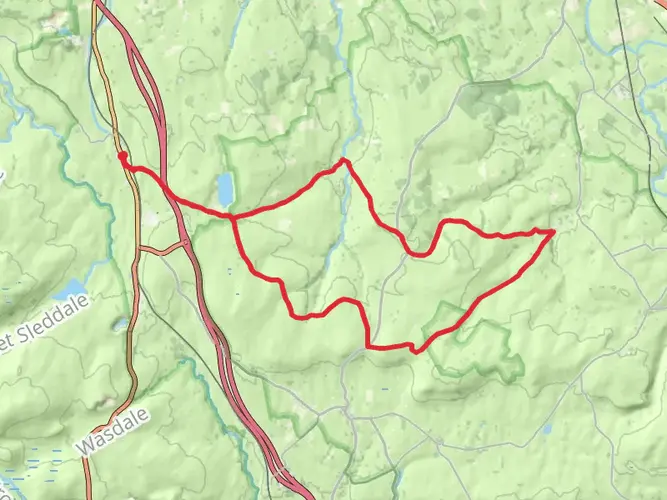
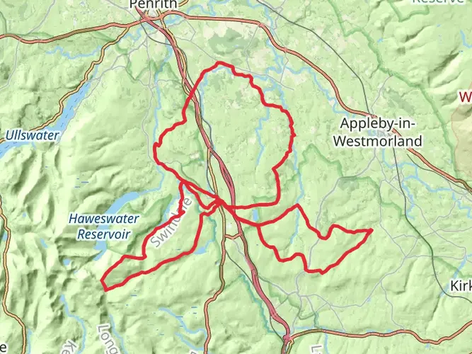
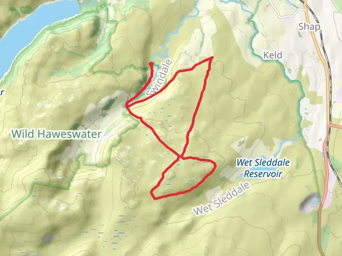
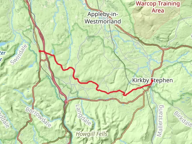
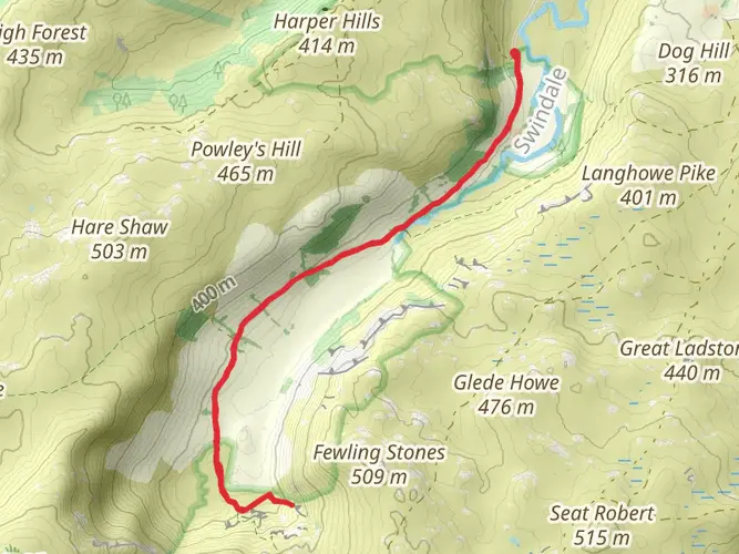
An easy point‑to‑point walk starting near Shap, this 6.4‑mile route gently descends through open Cumbrian countryside with around 980 feet of ascent and 440 feet of descent. Expect rolling farmland, dry‑stone walls and distant fells rather than steep climbs. The trail offers a relaxed pace with gradual elevation changes, making it suitable for most walkers looking for a quiet rural outing between Shap and the hills west of the village.

Created by
Phil Mayoh

Surfaces
Grass
Unknown
Asphalt
Comments and Reviews
User comments, reviews and discussions about the Hike from Shap, England.
average rating out of 5
0 rating(s)