Download
Preview
Add to list
More
11.9 km
~2 hrs 55 min
330 m
Loop
“Embark on a 12 km trail through breathtaking landscapes, historical landmarks, and diverse wildlife in Westmorland.”
Starting your adventure near Westmorland and Furness, England, the High Wray Bay, Waterson Intake, and Rough Hows Loop is a captivating 12 km (7.5 miles) loop trail with an elevation gain of approximately 300 meters (984 feet). This medium-difficulty trail offers a blend of natural beauty, historical landmarks, and diverse wildlife, making it a rewarding experience for hikers.
Getting There
To reach the trailhead, you can drive or use public transport. If driving, set your GPS to High Wray Bay, near the town of Ambleside. There is a small car park available. For those using public transport, take a train to Windermere Station, then catch a bus to Ambleside. From Ambleside, a local taxi or a short bus ride will get you to the trailhead.
Trail Overview
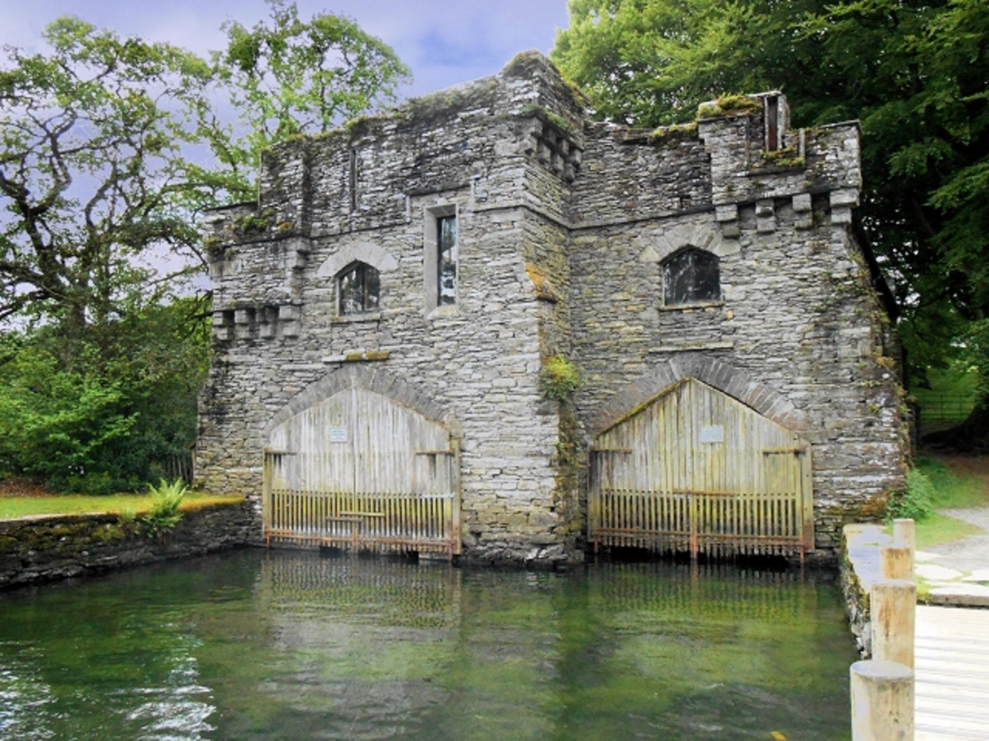
The trail begins near High Wray Bay, offering stunning views of Lake Windermere. As you start your hike, you'll be greeted by the serene waters and the lush greenery that surrounds the lake. The initial part of the trail is relatively flat, making it a gentle introduction to the hike.
High Wray Bay to Waterson Intake
After approximately 3 km (1.9 miles), you'll reach Waterson Intake. This section involves a gradual ascent, gaining about 100 meters (328 feet) in elevation. The path here is well-marked but can be muddy after rain, so sturdy hiking boots are recommended. Keep an eye out for red squirrels and various bird species that inhabit the area.
Waterson Intake to Rough Hows
Continuing from Waterson Intake, the trail takes you through a mix of woodland and open fields. This part of the hike is particularly scenic, with panoramic views of the surrounding fells. After another 4 km (2.5 miles), you'll arrive at Rough Hows. The elevation gain here is around 150 meters (492 feet), and the terrain becomes a bit more challenging with rocky sections.
Historical Significance
Rough Hows is an area rich in history. The landscape is dotted with remnants of old stone walls and farmsteads, offering a glimpse into the region's agricultural past. The area was once part of a thriving farming community, and you can still see the outlines of ancient fields and pathways.
Wildlife and Flora
The trail is a haven for wildlife enthusiasts. In addition to red squirrels, you might spot deer, badgers, and a variety of bird species, including woodpeckers and owls. The flora is equally diverse, with bluebells carpeting the woodland floor in spring and a variety of ferns and mosses adding to the lushness of the landscape.
Navigation and Safety
The trail is well-marked, but it's always a good idea to have a reliable navigation tool. HiiKER is an excellent app for this purpose, providing detailed maps and real-time tracking to ensure you stay on course. The weather in this region can be unpredictable, so pack layers and waterproof gear. Always carry enough water and snacks, and let someone know your hiking plans.
Final Stretch
The final 5 km (3.1 miles) of the loop take you back towards High Wray Bay. This section is mostly downhill, offering a pleasant and scenic descent. You'll pass through more woodland and open fields, with occasional glimpses of Lake Windermere in the distance. As you approach the end of the trail, take a moment to enjoy the tranquil beauty of the bay before concluding your hike.
This trail offers a perfect blend of natural beauty, historical intrigue, and moderate physical challenge, making it an ideal choice for hikers looking to explore the stunning landscapes of Westmorland and Furness.

What to expect?
Activity types
Comments and Reviews
User comments, reviews and discussions about the High Wray Bay, Waterson Intake and Rough Hows Loop, England.
4.5
average rating out of 5
2 rating(s)