Download
3D Flyover
Add to list
More
14.3 km
~4 hrs 39 min
1084 m
Point-to-Point
“Explore lush pastures, historic tarns, and wildlife on this 14 km Lake District hike with diverse terrains.”
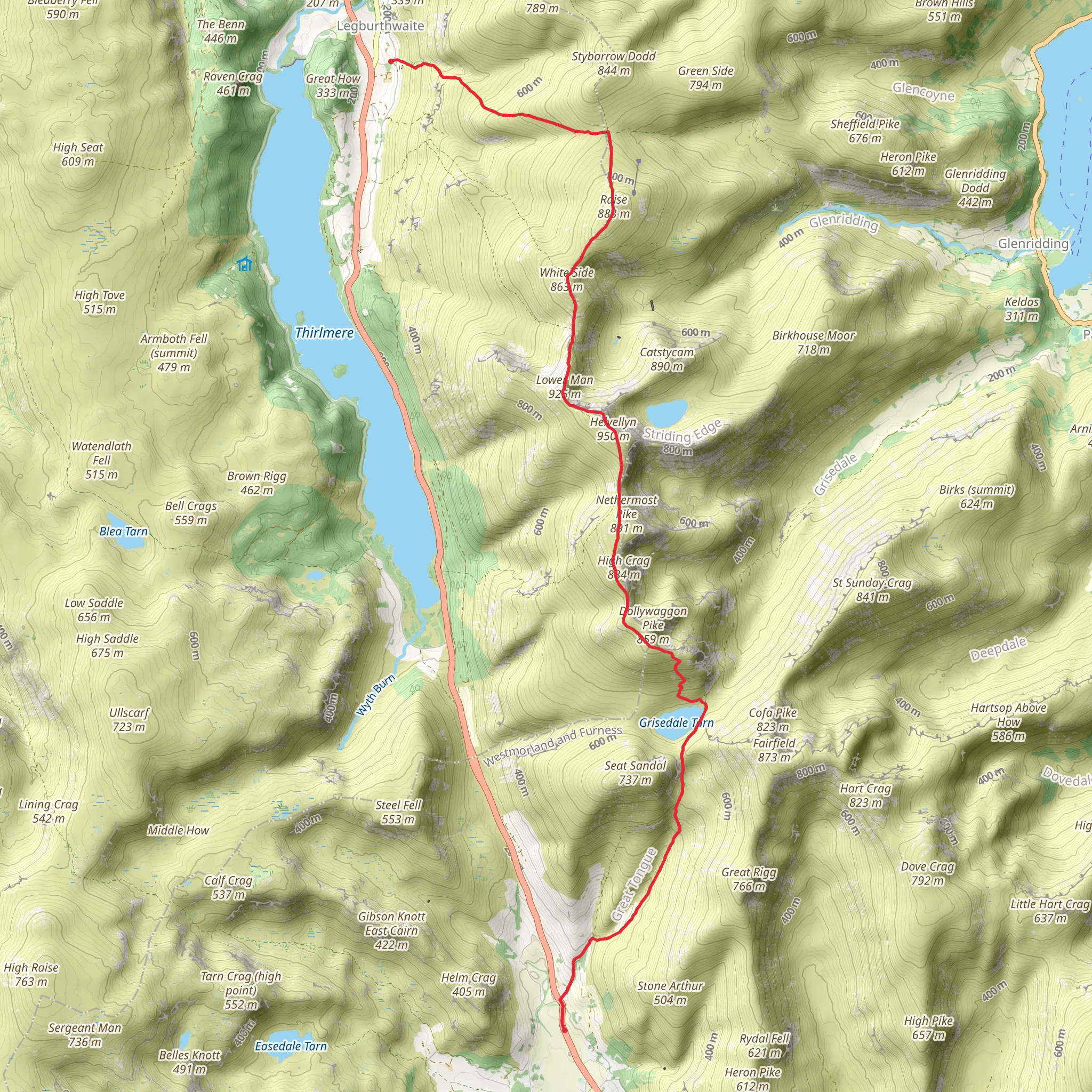
Starting near Westmorland and Furness, England, this 14 km (approximately 8.7 miles) point-to-point trail offers a medium difficulty hike with an elevation gain of around 1000 meters (3280 feet). The trailhead is accessible by car, with parking available nearby. For those using public transport, the nearest significant landmark is Grasmere, which is well-connected by bus services from larger towns such as Ambleside and Keswick.
Initial Ascent and Grisedale Tarn
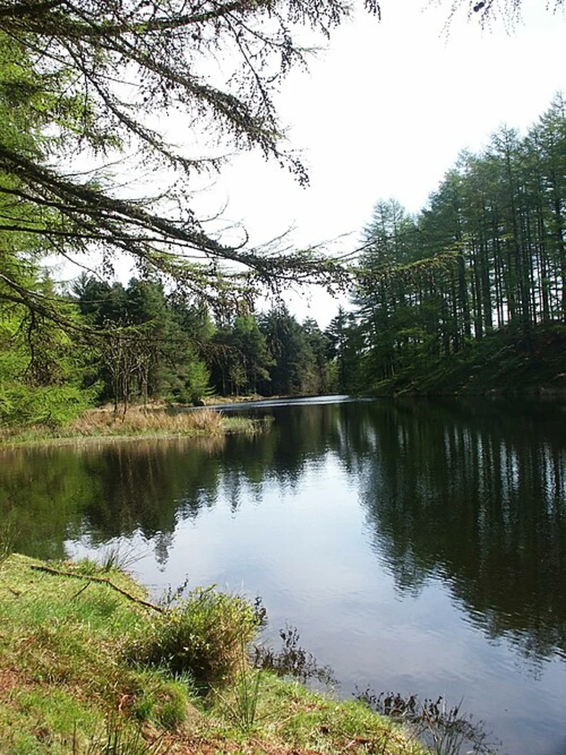
The hike begins with a steady ascent, taking you through lush green pastures and ancient stone walls typical of the Lake District. As you climb, you'll pass through a series of switchbacks that offer stunning views of the surrounding valleys. After about 4 km (2.5 miles) and an elevation gain of roughly 500 meters (1640 feet), you'll reach Grisedale Tarn, a serene mountain lake nestled between the peaks of Dollywaggon Pike and Fairfield. This is an excellent spot for a short break, allowing you to take in the tranquil waters and the rugged landscape.
Historical Significance
Grisedale Tarn holds historical significance as it is believed to be the resting place of the crown of Dunmail, the last king of Cumbria, who was defeated by the Saxons in the 10th century. The tarn and its surroundings are steeped in local folklore, adding a mystical element to your hike.
Descent to Fisher Place
From Grisedale Tarn, the trail continues with a descent towards Fisher Place. This section is less strenuous but requires careful footing, especially in wet conditions. The path winds through rocky outcrops and heather-clad moorlands, offering panoramic views of the Helvellyn range. After approximately 3 km (1.9 miles), you'll begin to notice a change in the landscape as you enter a more wooded area.
Wildlife and Flora
The descent towards Fisher Place is a haven for wildlife enthusiasts. Keep an eye out for red squirrels, which are native to the area, and a variety of bird species such as peregrine falcons and red kites. The flora is equally diverse, with seasonal wildflowers adding bursts of color to the landscape.
Final Stretch
As you approach the final 2 km (1.2 miles) of the trail, the path becomes more defined and easier to navigate. You'll pass through a series of small streams and waterfalls, which are particularly picturesque after a period of rain. The trail concludes near Fisher Place, where you can either arrange for a pickup or continue exploring the surrounding areas.
Navigation and Safety
Given the varied terrain and potential for rapidly changing weather conditions, it's advisable to use a reliable navigation tool like HiiKER to ensure you stay on track. Always check the weather forecast before setting out and carry appropriate gear, including waterproof clothing and sturdy hiking boots.
This trail offers a blend of natural beauty, historical intrigue, and a moderate physical challenge, making it a rewarding experience for hikers of all levels.
What to expect?
Activity types
Comments and Reviews
User comments, reviews and discussions about the High Broadrayne to Fisher Place Walk via Grisedale Tarn, England.
4.5
average rating out of 5
2 rating(s)
