Download
3D Flyover
Add to list
More
17.2 km
~4 hrs 28 min
623 m
Loop
“Explore panoramic vistas, historical landmarks, and diverse wildlife on this moderately challenging 17 km loop trail in England's Howgill Fells.”
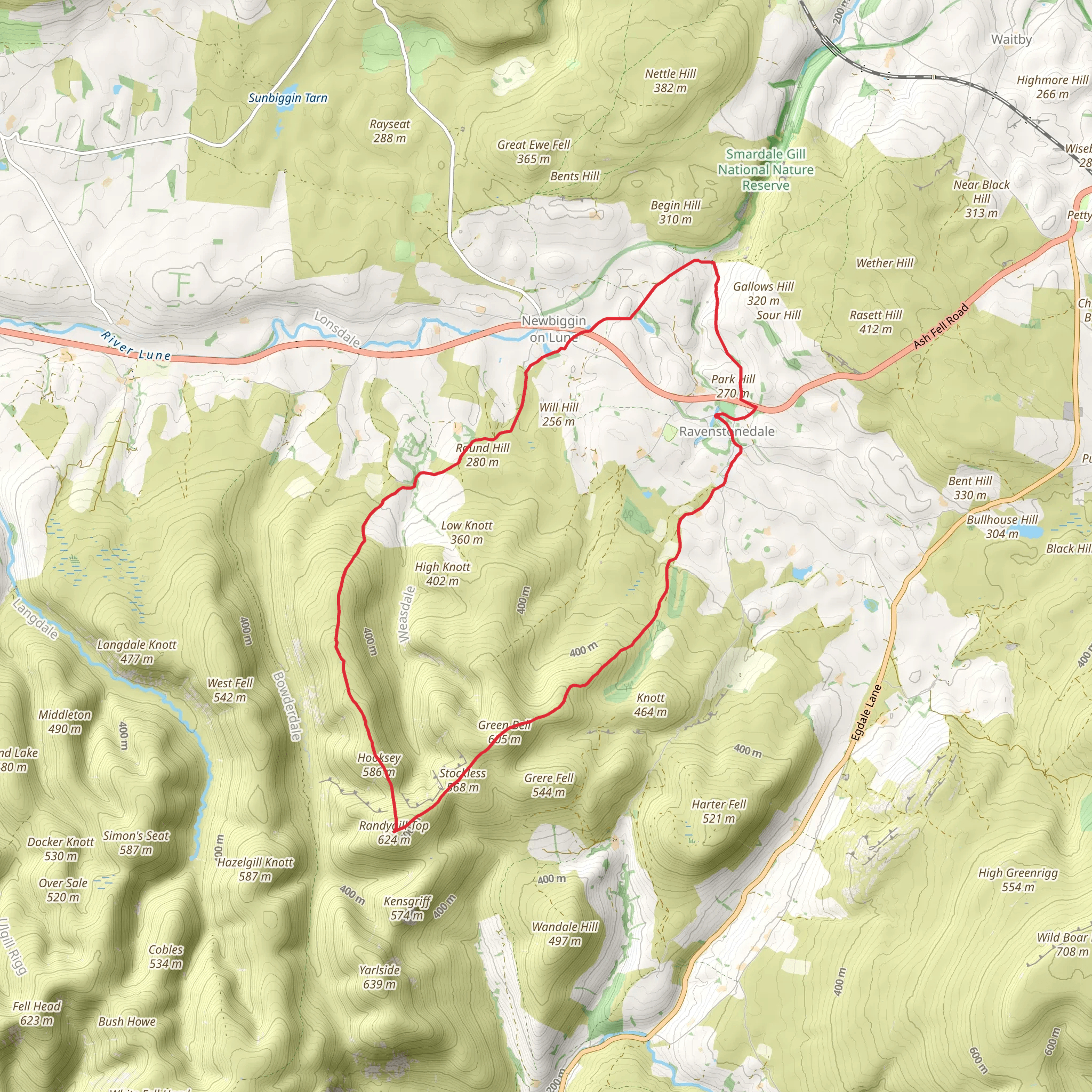
Starting near Westmorland and Furness, England, this 17 km (approximately 10.5 miles) loop trail offers a moderately challenging hike with an elevation gain of around 600 meters (about 1,970 feet). The trailhead is accessible by car, with parking available near the village of Ravenstonedale. For those using public transport, the nearest train station is Kirkby Stephen, from where you can take a local bus or taxi to Ravenstonedale.
Initial Ascent and Green Bell
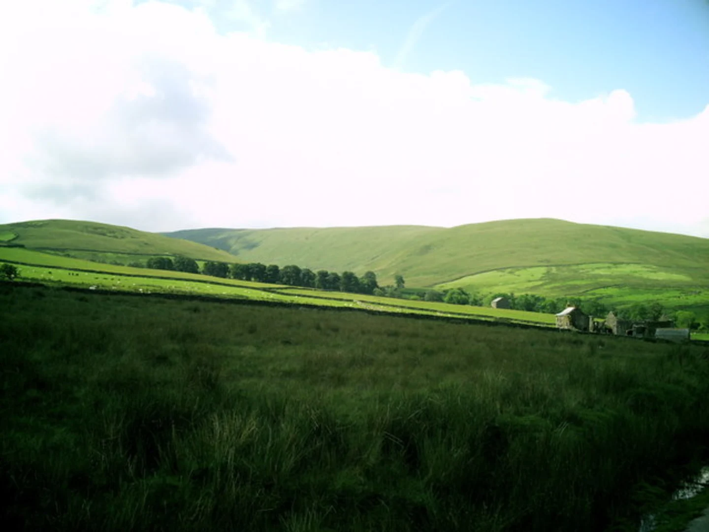
The hike begins with a gradual ascent towards Green Bell, a prominent hill in the Howgill Fells. The initial 3 km (1.9 miles) will take you through open fields and pastures, offering panoramic views of the surrounding countryside. As you climb, you'll gain approximately 200 meters (656 feet) in elevation. Keep an eye out for local wildlife such as red grouse and skylarks, which are commonly seen in this area.
Stockless and Randygill Top
Continuing from Green Bell, the trail leads you towards Stockless and Randygill Top. This section spans about 5 km (3.1 miles) and includes a mix of grassy paths and rocky terrain. The elevation gain here is more gradual, adding another 150 meters (492 feet) to your climb. Randygill Top offers stunning views of the Lake District to the west and the Yorkshire Dales to the east. This area is also rich in history, with ancient cairns and boundary markers that date back to medieval times.
Park Hill and Descent
From Randygill Top, the trail descends towards Park Hill, covering approximately 4 km (2.5 miles). The descent is steep in places, so take care, especially if the ground is wet. You'll lose about 300 meters (984 feet) in elevation as you make your way down. Park Hill is a great spot for a break, offering sheltered areas and scenic views. The surrounding woodlands are home to a variety of bird species, including woodpeckers and owls.
Return via Dales High Way
The final leg of the hike follows the Dales High Way, a well-marked trail that will guide you back to Ravenstonedale. This section is about 5 km (3.1 miles) long and relatively flat, making for a pleasant end to your hike. Along the way, you'll pass through picturesque meadows and alongside babbling brooks. The Dales High Way is known for its historical significance, having been used for centuries by drovers and traders.
Navigation and Safety
For navigation, it is highly recommended to use HiiKER, which provides detailed maps and real-time GPS tracking. Ensure you have adequate water, snacks, and weather-appropriate clothing, as conditions can change rapidly in the fells.
This trail offers a blend of natural beauty, historical landmarks, and diverse wildlife, making it a rewarding experience for any hiker.
What to expect?
Activity types
Comments and Reviews
User comments, reviews and discussions about the Green Bell Stockless Randygill Top and Park Hill via Dales High Way, England.
4.25
average rating out of 5
4 rating(s)
