Download
3D Flyover
Add to list
More
5.5 km
~1 hrs 32 min
268 m
Loop
“Embark on Bowscale's historical and scenic hike, unveiling legends, wildlife, and breathtaking tarn vistas.”
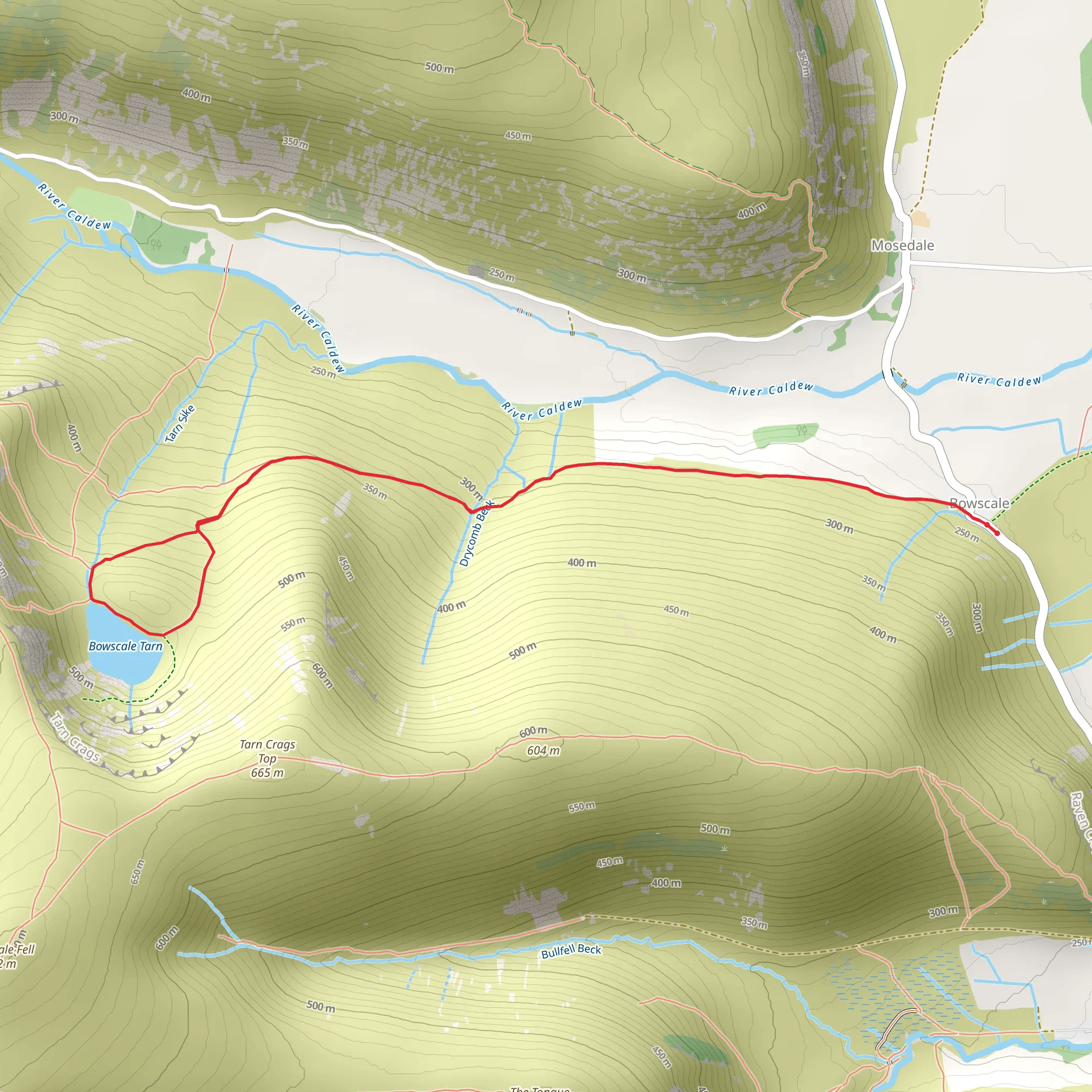
Nestled in the serene landscape near Westmorland and Furness in England, the Bowscale and Bowscale Tarn trail offers a delightful loop of approximately 5 km (about 3.1 miles) with an elevation gain of around 200 metres (656 feet), presenting a medium difficulty level for hikers. This trail is a perfect blend of natural beauty and historical intrigue, suitable for those with some hiking experience.
Getting to the Trailhead
To reach the trailhead, hikers can drive to the small village of Bowscale, which is the nearest known landmark. Parking is available in the village, and from there, the trailhead is easily accessible. For those preferring public transport, buses serve the nearby towns, and a taxi or a local bus can be taken to reach Bowscale.
The Hike Itself
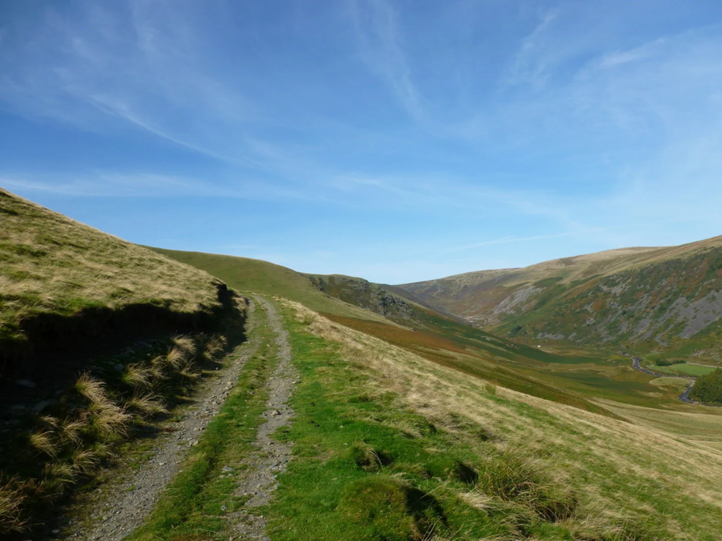
Upon embarking on the trail, hikers are greeted with a gentle ascent through grassy farmland, which gradually steepens as it approaches the fells. The path is well-defined and meanders through the picturesque countryside, offering stunning views of the surrounding peaks and valleys.
Historical Significance and Landmarks
As you progress, the trail reveals the historical significance of the region. The area is steeped in history, with Bowscale Tarn itself being the subject of local legend. It is said that two immortal fish reside in the waters, a tale that has captivated the imagination of visitors for centuries.
The highlight of the hike is undoubtedly Bowscale Tarn, a glacial tarn nestled in a dramatic mountain corrie. The tarn is situated roughly halfway through the loop, providing a serene spot to rest and enjoy the tranquility of the water. The reflection of the surrounding fells on the surface of the tarn is a sight to behold, especially on a calm day.
Flora and Fauna
Throughout the hike, the area's rich biodiversity becomes apparent. The trail is home to a variety of wildlife, including native bird species such as the skylark and the occasional peregrine falcon. The vegetation is a mix of heather, bracken, and grasses, which change color with the seasons, adding to the trail's allure.
Navigation and Safety
For navigation, hikers are advised to use the HiiKER app, which provides detailed maps and trail information to ensure a safe and enjoyable experience. It's important to be prepared for sudden weather changes, as the fells can be unpredictable. Adequate clothing, water, and snacks are essential, along with a map and compass for backup navigation.
Final Ascent and Descent
The final ascent to the ridge offers panoramic views of the Northern Fells, and on a clear day, the Scottish Borders may be visible in the distance. The descent back to Bowscale is gentle and provides a different perspective of the landscape, completing the loop and bringing hikers back to the starting point.
This trail, with its combination of natural beauty, wildlife, and legend, provides a rich and varied hiking experience in the heart of the English countryside.
What to expect?
Activity types
Comments and Reviews
User comments, reviews and discussions about the Bowscale and Bowscale Tarn, England.
4.17
average rating out of 5
6 rating(s)
