Download
Preview
Add to list
More
8.4 km
~2 hrs 9 min
286 m
Loop
“This 8 km loop through Westmorland and Furness offers stunning views, varied terrain, and historical charm.”
Starting near the picturesque region of Westmorland and Furness in England, this 8 km (approximately 5 miles) loop trail offers a delightful mix of natural beauty and moderate challenge. With an elevation gain of around 200 meters (656 feet), hikers can expect a varied terrain that provides both gentle slopes and steeper ascents.
Getting There
To reach the trailhead, you can drive or use public transport. If driving, set your GPS to the nearest known address: Westmorland and Furness, England. For those using public transport, the nearest significant landmark is the town of Kendal. From Kendal, you can take a local bus or taxi to the trailhead.
Trail Overview
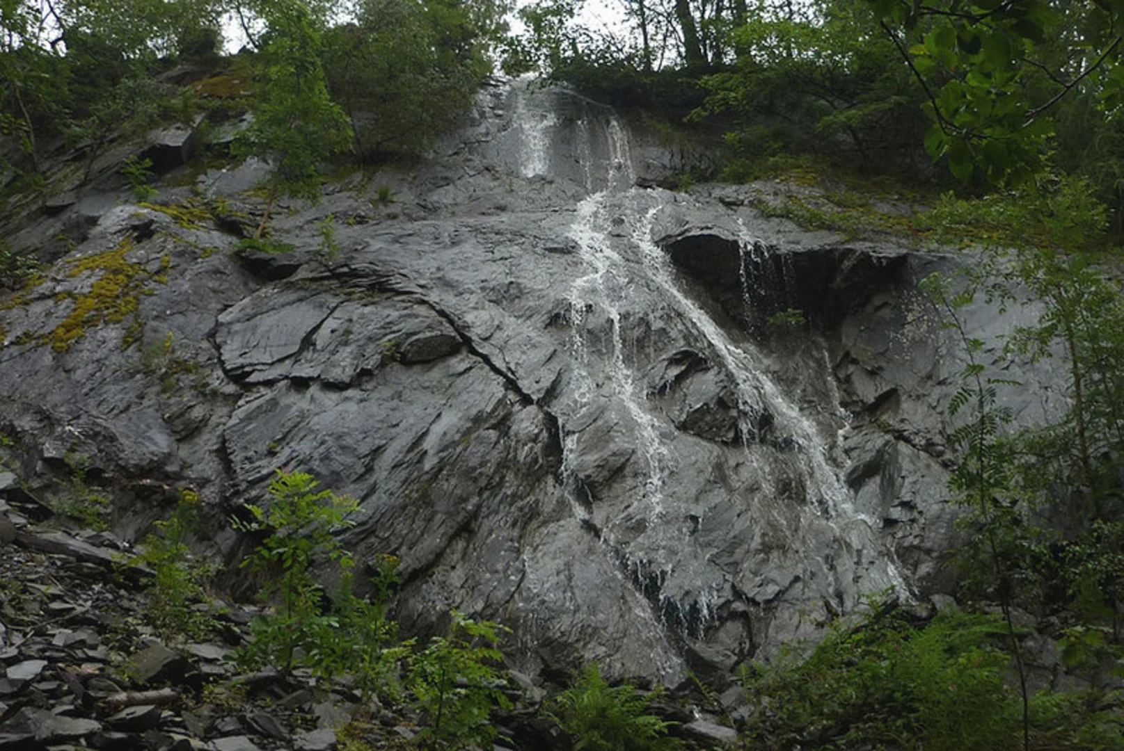
The trail begins with a gentle ascent through Atkinson Coppice, a serene woodland area known for its dense canopy and rich biodiversity. As you make your way through the coppice, keep an eye out for native bird species such as the European robin and the great tit. The first kilometer (0.6 miles) is relatively easy, with an elevation gain of about 50 meters (164 feet).
Historical Significance
Atkinson Coppice has a rich history dating back to medieval times when it was used for timber and charcoal production. Remnants of old charcoal pits can still be seen along the trail, offering a glimpse into the area's past.
Mid-Trail Highlights
Around the 3 km (1.9 miles) mark, you'll reach Close Hill Coppice. This section of the trail is more challenging, with a steeper ascent that adds another 100 meters (328 feet) to your elevation gain. The effort is well worth it, as the summit offers panoramic views of the surrounding countryside. On a clear day, you can see as far as the Lake District to the north.
Flora and Fauna
Close Hill Coppice is home to a variety of plant species, including bluebells in the spring and a mix of deciduous trees such as oak and beech. Wildlife enthusiasts may spot red squirrels, a species that has become increasingly rare in other parts of the UK.
Navigation and Safety
The trail is well-marked, but it's always a good idea to have a reliable navigation tool. HiiKER is an excellent app for this purpose, providing detailed maps and real-time updates. Make sure to wear sturdy hiking boots, as some sections can be muddy, especially after rain.
Final Stretch
The descent back to the trailhead is gradual, allowing you to enjoy the scenery without too much strain. The last 2 km (1.2 miles) take you through open meadows and past small streams, offering a peaceful end to your hike.
Practical Tips
- Bring plenty of water and snacks, as there are no facilities along the trail.
- Check the weather forecast before you go; the trail can be slippery in wet conditions.
- If you're hiking in the spring or summer, consider bringing insect repellent.
This loop trail offers a perfect blend of natural beauty, moderate challenge, and historical intrigue, making it a rewarding experience for hikers of all levels.

What to expect?
Activity types
Comments and Reviews
User comments, reviews and discussions about the Atkinson Coppice and Close Hill Coppice, England.
5.0
average rating out of 5
1 rating(s)