Southern Washlands Nature Reserve and Aire and Calder Navigation Walk - Whitwood
Download
3D Flyover
Add to list
More
17.4 km
~3 hrs 38 min
94 m
Loop
“Explore diverse landscapes and historic waterways on this accessible 17 km loop near Wakefield, England.”
Starting near Wakefield, England, the Southern Washlands Nature Reserve and Aire and Calder Navigation Walk - Whitwood is a loop trail that spans approximately 17 km (10.5 miles) with no significant elevation gain, making it accessible for a wide range of hikers. The trail is rated as medium difficulty, primarily due to its length rather than challenging terrain.
Getting There
To reach the trailhead, you can drive or use public transport. If driving, you can park near the Southern Washlands Nature Reserve, which is easily accessible from Wakefield. For those using public transport, Wakefield Westgate railway station is the nearest major station. From there, local buses can take you closer to the trailhead, or you can opt for a short taxi ride.
Trail Overview
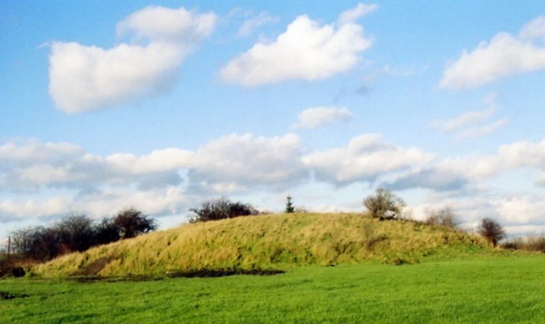
The trail begins near the Southern Washlands Nature Reserve, a haven for birdwatchers and nature enthusiasts. As you start your hike, you'll traverse through a variety of landscapes including wetlands, woodlands, and open fields. The reserve is home to numerous bird species, so bringing binoculars could enhance your experience.
Aire and Calder Navigation
Around the 5 km (3.1 miles) mark, you'll encounter the Aire and Calder Navigation, a significant historical waterway. This canal was constructed in the 18th century to facilitate the transport of coal and other goods between Leeds and Goole. The towpath along the canal is well-maintained and offers a flat, scenic route for hikers. Look out for the old lock systems and bridges, which are remnants of the area's industrial past.
Wildlife and Flora
As you continue, the trail meanders through diverse habitats. In the wetlands, you might spot herons, kingfishers, and various waterfowl. The woodlands are home to deer, foxes, and a variety of smaller mammals. Seasonal wildflowers add a splash of color to the landscape, particularly in spring and summer.
Points of Interest
At approximately 10 km (6.2 miles), you'll pass by the Whitwood Golf Club. This is a good spot to take a break and enjoy the well-manicured greens and fairways. Continuing on, you'll loop back towards the Southern Washlands Nature Reserve, passing through more open fields and small wooded areas.
Navigation and Safety
Given the length of the trail, it's advisable to use a reliable navigation tool like HiiKER to ensure you stay on track. The trail is well-marked, but having a digital map can provide additional peace of mind. There are no significant elevation changes, but the trail can be muddy in places, especially after rain, so waterproof footwear is recommended.
Historical Significance
The Aire and Calder Navigation is a highlight of this trail, offering a glimpse into the region's industrial heritage. The canal played a crucial role in the economic development of West Yorkshire, and its historical significance is evident in the well-preserved locks and bridges.
Final Stretch
As you near the end of the loop, you'll return to the Southern Washlands Nature Reserve. This final stretch offers a chance to reflect on the diverse landscapes and historical landmarks you've encountered. The reserve's visitor center provides additional information about the area's wildlife and conservation efforts, making it a fitting end to your hike.

What to expect?
Activity types
Comments and Reviews
User comments, reviews and discussions about the Southern Washlands Nature Reserve and Aire and Calder Navigation Walk - Whitwood, England.
5.0
average rating out of 5
1 rating(s)