Download
3D Flyover
Add to list
More
7.6 km
~1 hrs 48 min
174 m
Loop
“Embark on the Guildford Loop for a scenic 8 km hike rich in history and natural beauty.”
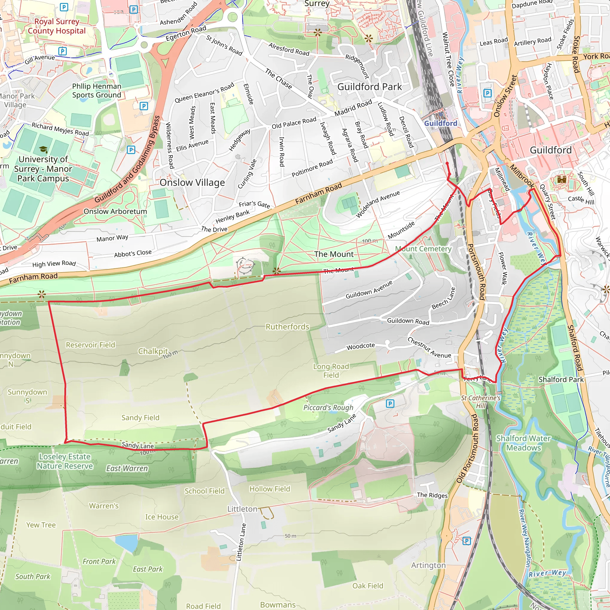
Starting near the picturesque town of Guildford in Surrey, England, the Guildford Loop is an 8 km (approximately 5 miles) trail with an elevation gain of around 100 meters (328 feet). This loop trail is estimated to be of medium difficulty, making it suitable for moderately experienced hikers.
Getting There
To reach the trailhead, you can either drive or use public transport. If you're driving, set your GPS to Guildford, Surrey, and look for parking options near the town center. For those using public transport, Guildford is well-connected by train, with frequent services from London Waterloo. From Guildford train station, it's a short walk to the trailhead.
Trail Overview
The Guildford Loop offers a diverse hiking experience, combining natural beauty with historical landmarks. The trail begins near the River Wey, a serene waterway that has been a vital part of the region's history. As you start your hike, you'll follow the river for a short distance, providing a tranquil beginning to your journey.
Key Landmarks and Points of Interest
River Wey and Navigation
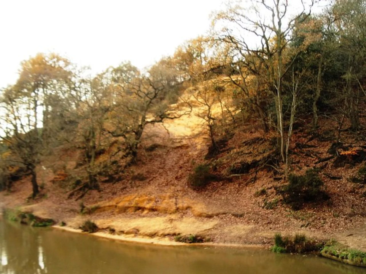
At approximately 1 km (0.6 miles) into the hike, you'll encounter the River Wey Navigation, a historic waterway that dates back to the 17th century. This section of the trail offers picturesque views of the river and its surrounding meadows. Keep an eye out for swans, ducks, and other waterfowl that frequent the area.
St. Catherine's Chapel
Around the 3 km (1.9 miles) mark, you'll come across St. Catherine's Chapel, a 14th-century ruin perched on a hill. The chapel offers panoramic views of the surrounding countryside and is a great spot for a short break. The elevation gain to reach the chapel is moderate, but the views are well worth the effort.
Chantry Wood
Continuing on, you'll enter Chantry Wood at about 5 km (3.1 miles) into the hike. This ancient woodland is home to a variety of flora and fauna, including bluebells in the spring and a range of bird species. The trail through the wood is well-marked but can be muddy after rain, so appropriate footwear is recommended.
Navigation and Safety
The trail is well-marked, but it's always a good idea to have a reliable navigation tool. HiiKER is an excellent app for this purpose, providing detailed maps and real-time updates. Make sure to download the trail map before you start, as mobile signal can be patchy in some areas.
Final Stretch
As you near the end of the loop, the trail will bring you back towards Guildford, passing through open fields and offering views of the town's skyline. The final 2 km (1.2 miles) are relatively flat, making for a pleasant and easy finish to your hike.
Wildlife and Nature
Throughout the hike, you'll have the opportunity to see a variety of wildlife. Deer are occasionally spotted in the woodlands, and the fields are home to rabbits and foxes. Birdwatchers will enjoy the diverse avian population, including woodpeckers, robins, and finches.
Historical Significance
Guildford itself is steeped in history, with roots dating back to Saxon times. The town was an important stop on the Pilgrims' Way, a historic route from Winchester to Canterbury. The trail offers glimpses into this rich past, making it not just a hike but a journey through time.
Prepare adequately with water, snacks, and appropriate clothing, and you'll find the Guildford Loop to be a rewarding and enriching experience.
What to expect?
Activity types
Comments and Reviews
User comments, reviews and discussions about the Guildford Loop, England.
5.0
average rating out of 5
1 rating(s)
