Download
3D Preview
Add to list
More
9.9 km
~2 hrs 30 min
320 m
Loop
“Explore the Ridge End and Strines Loop for scenic woodlands, historical sites, and panoramic moorland views.”
Starting near Stockport, England, the Ridge End and Strines Loop is a captivating 10 km (6.2 miles) trail with an elevation gain of approximately 300 meters (984 feet). This loop trail is rated as medium difficulty, making it suitable for moderately experienced hikers.
Getting There
To reach the trailhead, you can drive or use public transport. If driving, head towards the village of Marple Bridge, which is a convenient starting point. For those using public transport, take a train to Marple Station, which is well-connected from Manchester and Stockport. From Marple Station, it's a short walk to the trailhead.
Trail Overview
The Ridge End and Strines Loop offers a diverse hiking experience, featuring a mix of woodland paths, open moorland, and scenic riverbanks. The trail begins with a gentle ascent through the lush woodlands of Etherow Country Park. As you progress, you'll encounter a series of well-marked paths that guide you through the park's serene environment.
Key Landmarks and Sections
Etherow Country Park
Approximately 2 km (1.2 miles) into the hike, you'll pass through Etherow Country Park, a haven for birdwatchers and nature enthusiasts. The park is home to a variety of bird species, including kingfishers and herons, so keep your binoculars handy.
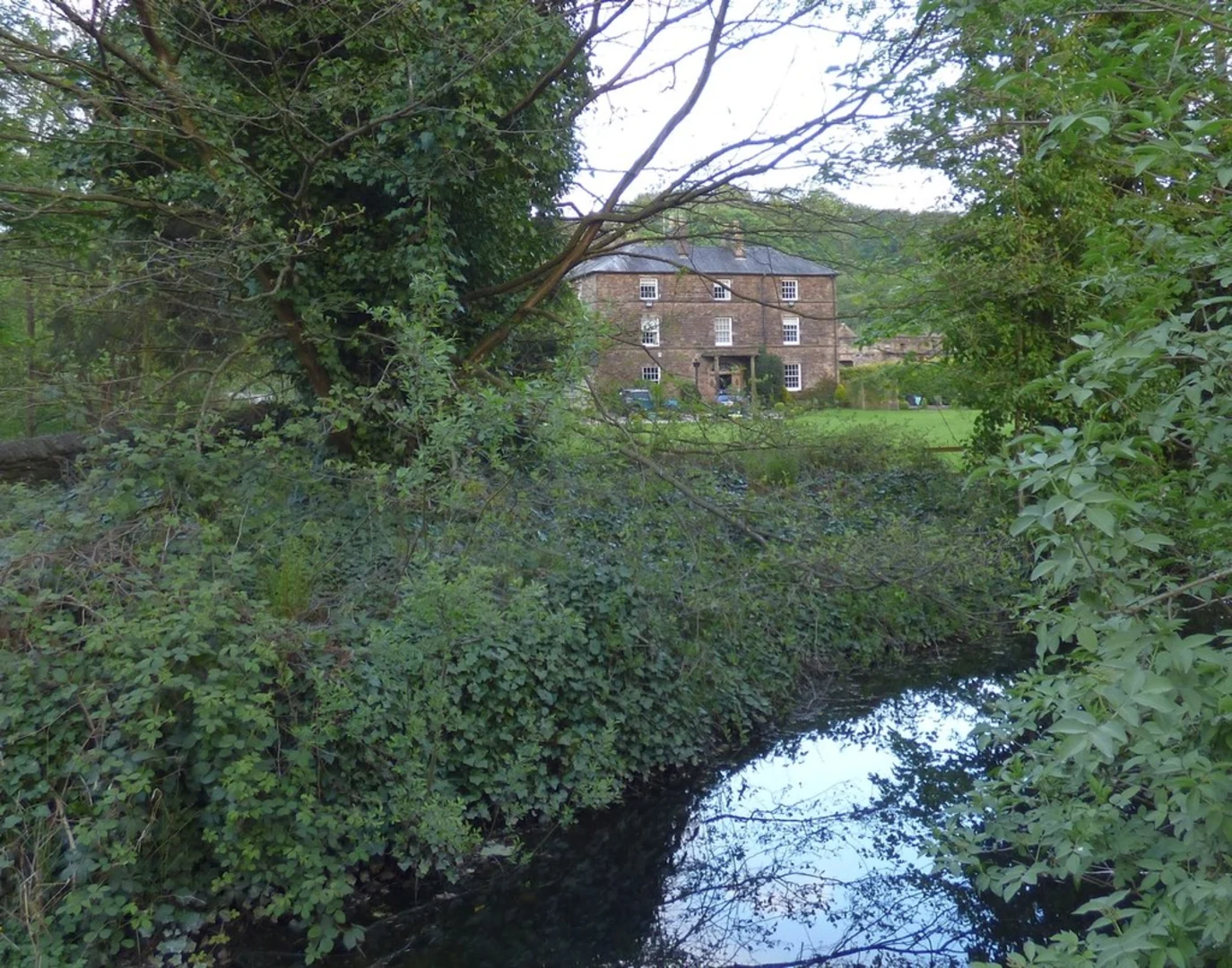
Roman Lakes
Around the 4 km (2.5 miles) mark, you'll come across the Roman Lakes, a historical site that dates back to the Roman era. These lakes were once part of a Roman settlement, and remnants of ancient structures can still be seen. It's a great spot to take a break and enjoy the tranquil waters.
Strines Moor
As you continue, the trail ascends to Strines Moor, offering panoramic views of the surrounding countryside. This section, roughly 6 km (3.7 miles) into the hike, is the most challenging part due to its steep inclines. However, the effort is rewarded with breathtaking vistas and the chance to spot local wildlife such as deer and foxes.
Navigation and Safety
The trail is well-marked, but it's always wise to have a reliable navigation tool. HiiKER is an excellent app for this purpose, providing detailed maps and real-time tracking to ensure you stay on course.
Historical Significance
The area around the Ridge End and Strines Loop is steeped in history. The Roman Lakes are a testament to the region's ancient past, while the nearby village of Marple Bridge has historical buildings dating back to the 18th century. The trail itself traverses old packhorse routes that were once vital for trade and communication.
Flora and Fauna
Throughout the hike, you'll encounter a variety of plant and animal life. The woodlands are rich with oak, birch, and beech trees, while the moorlands are covered in heather and gorse. Wildlife is abundant, with opportunities to see birds of prey, small mammals, and even the occasional badger.
Final Stretch
The final part of the loop descends back towards Marple Bridge, passing through picturesque farmland and along the banks of the River Goyt. This section is relatively flat and provides a relaxing end to your hike.
Practical Tips
- Wear sturdy hiking boots, as the terrain can be uneven and muddy, especially after rain.
- Bring plenty of water and snacks, as there are limited facilities along the trail.
- Check the weather forecast before setting out, as conditions can change rapidly, particularly on the moorland sections.
This trail offers a perfect blend of natural beauty, historical intrigue, and moderate physical challenge, making it a rewarding experience for any hiker.

What to expect?
Activity types
Comments and Reviews
User comments, reviews and discussions about the Ridge End and Strines Loop, England.
4.5
average rating out of 5
6 rating(s)