Download
3D Flyover
Add to list
More
6.4 km
~1 hrs 40 min
242 m
Loop
“Explore the scenic 6 km Threap and Dimmingsdale Wood Loop, perfect for moderately experienced hikers.”
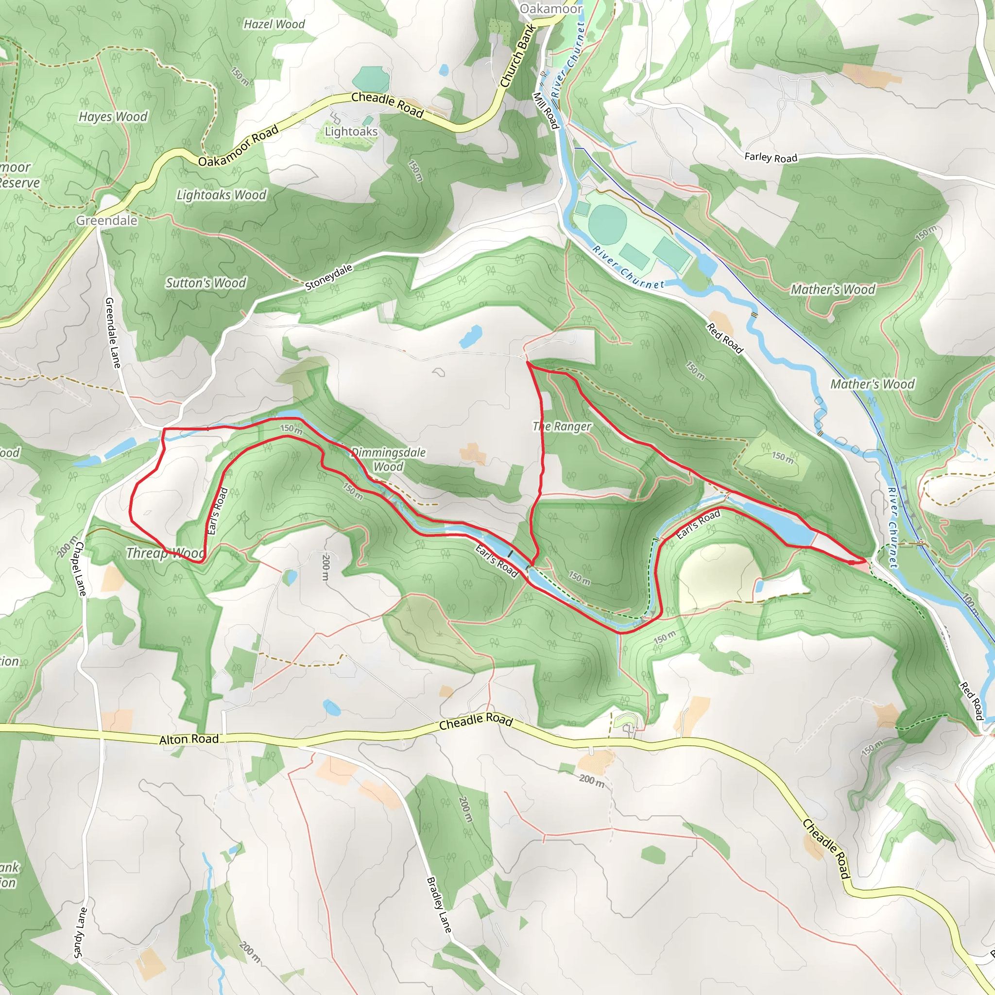
Starting near Staffordshire, England, the Threap and Dimmingsdale Wood Loop is a picturesque 6 km (approximately 3.7 miles) loop trail with an elevation gain of around 200 meters (656 feet). This trail is rated as medium difficulty, making it suitable for moderately experienced hikers.
Getting There
To reach the trailhead, you can drive or use public transport. If driving, set your GPS to Alton Towers, Staffordshire, as the nearest significant landmark. From there, it's a short drive to the trailhead. For public transport, take a train to Stoke-on-Trent and then a bus towards Alton Towers. The trailhead is a short walk from the bus stop.
Trail Overview
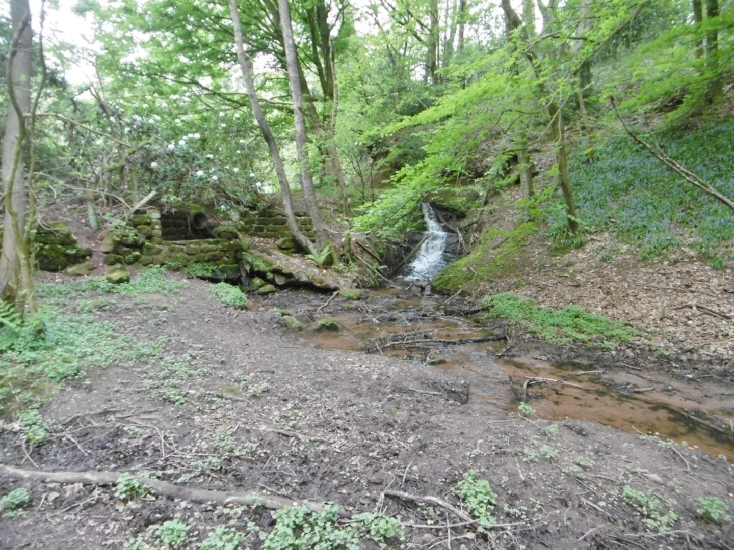
The trail begins with a gentle ascent through lush woodlands, offering a serene start to your hike. As you progress, you'll encounter a mix of deciduous and coniferous trees, providing a rich tapestry of colors, especially in autumn.
Significant Landmarks and Nature
At approximately 1.5 km (0.9 miles) into the hike, you'll come across the historic Dimmingsdale Valley. This area is known for its picturesque landscapes and tranquil atmosphere. The valley is home to several small streams and ponds, which are perfect spots for a short break.
Continuing on, around the 3 km (1.8 miles) mark, you'll reach the Threap Wood section. This part of the trail is slightly more challenging due to its steeper inclines. However, the effort is rewarded with stunning views of the surrounding countryside. Keep an eye out for local wildlife, including deer, foxes, and a variety of bird species.
Historical Significance
The region has a rich history, with remnants of old mining activities visible along the trail. Dimmingsdale, in particular, was once a hub for ironstone mining during the 18th and 19th centuries. You might notice old mine shafts and historical markers that provide insight into the area's industrial past.
Navigation and Safety
The trail is well-marked, but it's always a good idea to have a reliable navigation tool. HiiKER is highly recommended for this purpose, as it provides detailed maps and real-time updates. Ensure you have adequate water, snacks, and appropriate footwear, as some sections can be muddy, especially after rain.
Final Stretch
The last 2 km (1.2 miles) of the loop take you through more open terrain, offering panoramic views of the Staffordshire countryside. This section is relatively flat, allowing for a leisurely finish to your hike. As you near the end, you'll loop back to the starting point, completing a rewarding and scenic journey through Threap and Dimmingsdale Wood.
What to expect?
Activity types
Comments and Reviews
User comments, reviews and discussions about the Threap and Dimmingsdale Wood Loop, England.
4.6
average rating out of 5
5 rating(s)
