Download
3D Flyover
Add to list
More
151.8 km
~7 days
4278 m
Multi-Day
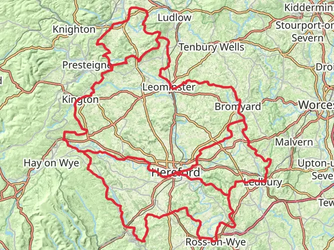
The Shropshire Peaks via Shropshire Way is a 151.8 km trail that starts in , Shropshire, England. Based on our data, the hike is graded as Medium. For information on how we grade trails, please read measuring the difficulty of a hiking trail on hiiker. Also, check our latest community posts for trail updates. This hike can be completed in approx 7 days. Caution is advised on trail times as this depends on multiple variables. For more info read about how we calculate hike time.

What to expect?
Activity types
Frequently asked questions
How long is the Shropshire Peaks via Shropshire Way and how many days does it take?
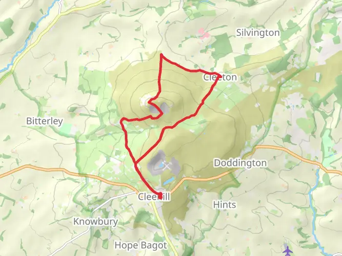
The Shropshire Peaks via Shropshire Way is 151.79 km long with 4,278 m of climbing, so it is a substantial multi-day route rather than a weekend walk. Most hikers break a route of this length into roughly 7 to 10 days, depending on daily mileage, weather, and how much time is spent on the bigger hill sections around Long Mynd, the Stiperstones, and the Clee Hills.
Which hills and landmarks does the Shropshire Peaks via Shropshire Way pass over?
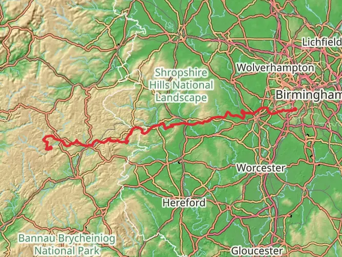
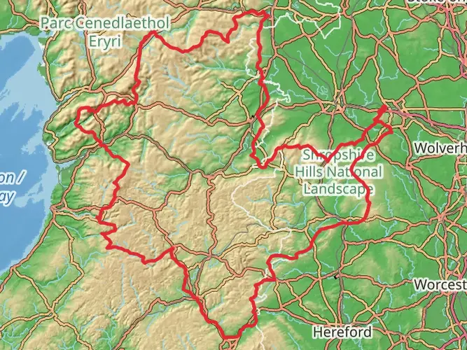
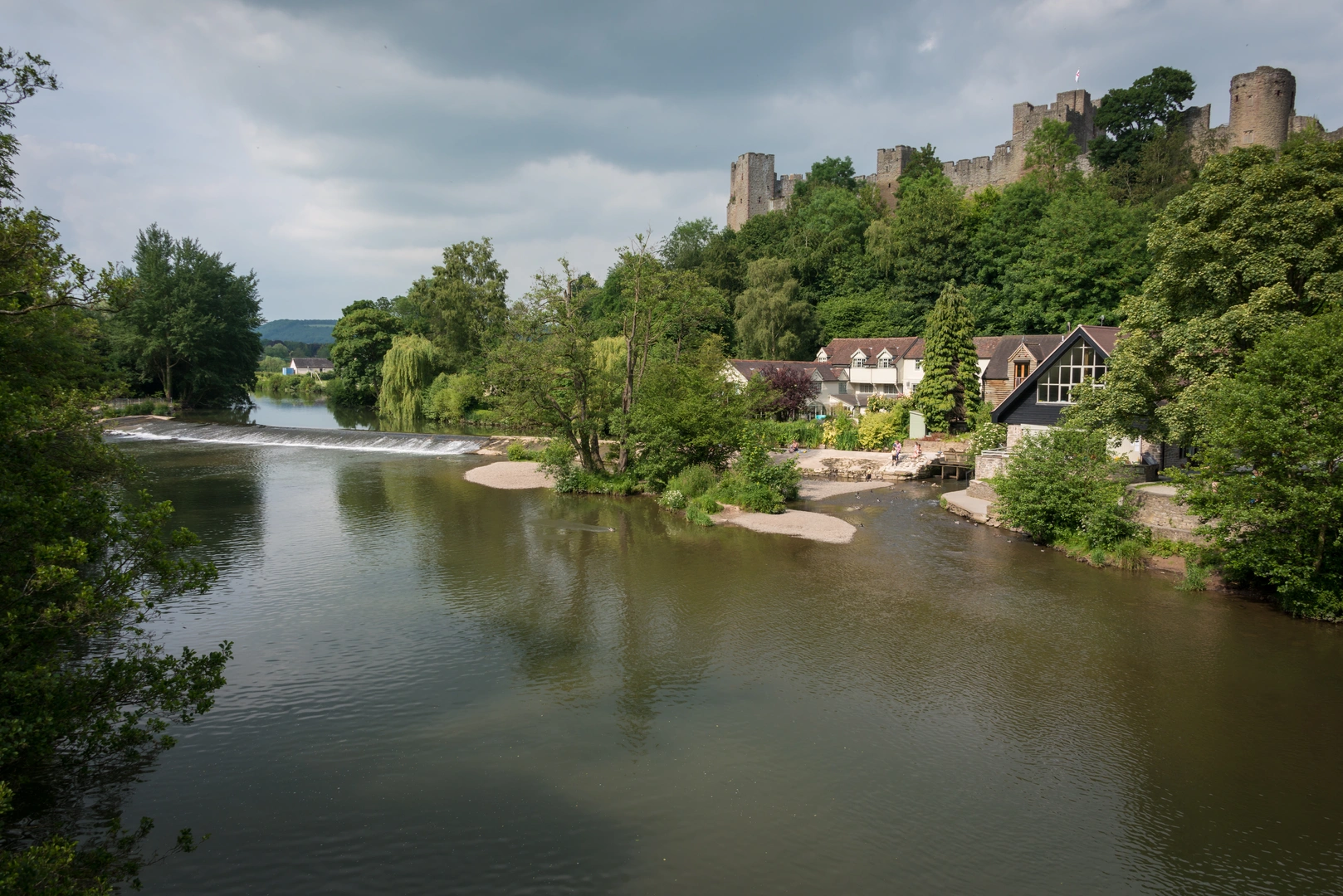
This route follows the main peak country of south Shropshire and is associated with many of the county’s best-known uplands. The line of the walk links areas including the Stiperstones, Long Mynd, Wenlock Edge, Brown Clee Hill, Titterstone Clee Hill, Caer Caradoc, the Lawley, Hopesay Hill, and Bury Ditches, while also passing places such as Clun, Bishop’s Castle, Church Stretton, Craven Arms, and Much Wenlock.
Is the Shropshire Peaks via Shropshire Way a difficult walk?
The Shropshire Peaks via Shropshire Way is rated medium, but the numbers make it a serious undertaking. At 151.79 km with 4,278 m of ascent, the challenge comes from repeated climbs across exposed hill country rather than technical ground, especially on stretches linked with the Stiperstones ridge, Long Mynd, and the Clee Hills.
Can the Shropshire Peaks via Shropshire Way be done using public transport?
Yes. The wider Shropshire Way is specifically set up so walkers can reach stage starts and finishes by public transport, which makes section hiking practical on this route. That matters on a long walk crossing settlements such as Church Stretton, Bishop’s Castle, Clun, Craven Arms, and Much Wenlock, where road and bus links can help with daily logistics.
Is the Shropshire Peaks via Shropshire Way dog friendly?
Dogs can be taken on much of the Shropshire Peaks via Shropshire Way, but it is not a simple yes-or-no route for every dog. This is a long rights-of-way walk through hill farms and open country where livestock, gates, and stiles are common, and Shropshire guidance notes that some stiles can be difficult for dogs, especially where fields are stockproof.
When is the best time of year to hike the Shropshire Peaks via Shropshire Way?
Late spring through early fall is usually the most straightforward season for the Shropshire Peaks via Shropshire Way. The route crosses exposed uplands including the Long Mynd, Stiperstones, and Brown Clee area, so winter can bring stronger winds, short daylight, and wetter ground, while late summer often coincides with heather color on the Stiperstones.
Comments and Reviews
User comments, reviews and discussions about the Shropshire Peaks via Shropshire Way, England.
average rating out of 5
0 rating(s)