Download
Preview
Add to list
More
10.0 km
~2 hrs 23 min
233 m
Loop
“Embark on the Blakeway Coppice via Jack Mytton Way for a scenic, moderately challenging 10 km hike.”
Starting near Shropshire, England, this 10 km (approximately 6.2 miles) loop trail offers a delightful mix of natural beauty and historical intrigue. With an elevation gain of around 200 meters (656 feet), the Blakeway Coppice via Jack Mytton Way is estimated to be of medium difficulty, making it suitable for moderately experienced hikers.
Getting There
To reach the trailhead, you can drive or use public transport. If driving, set your GPS to Much Wenlock, a charming town in Shropshire. From there, follow local signage to the trailhead. For those using public transport, the nearest significant landmark is Much Wenlock, which is accessible by bus from larger towns like Shrewsbury or Bridgnorth. From Much Wenlock, it's a short taxi ride or a brisk walk to the trailhead.
Trail Navigation
For navigation, it's highly recommended to use the HiiKER app, which provides detailed maps and real-time updates. The trail is well-marked, but having a reliable navigation tool will enhance your hiking experience.
Trail Highlights
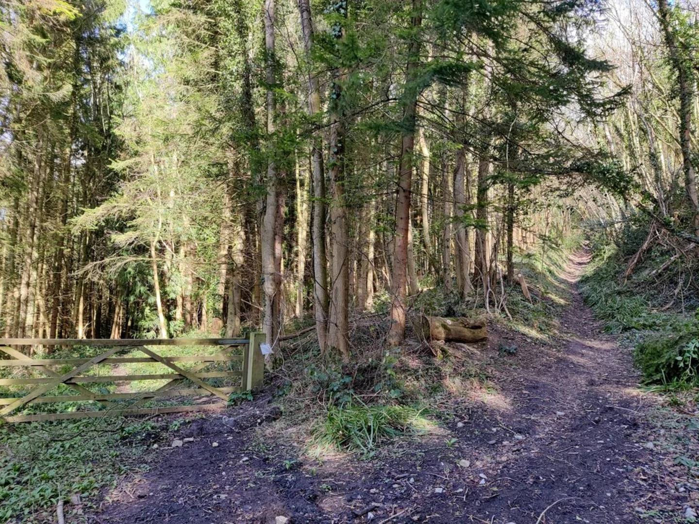
The trail begins with a gentle ascent through Blakeway Coppice, a serene woodland area known for its diverse flora and fauna. As you hike through the coppice, keep an eye out for native bird species and small mammals that inhabit the area. The first 2 km (1.2 miles) offer a gradual climb, gaining about 50 meters (164 feet) in elevation.
Historical Significance
Around the 3 km (1.9 miles) mark, you'll intersect with the Jack Mytton Way, a long-distance bridleway named after the eccentric 19th-century squire, John "Mad Jack" Mytton. Known for his wild lifestyle and adventurous spirit, Mytton's legacy adds a layer of historical intrigue to your hike. The trail here is relatively flat, allowing you to enjoy the surrounding countryside and perhaps ponder the colorful history of the region.
Mid-Trail Features
At approximately 5 km (3.1 miles), you'll reach the highest point of the trail, offering panoramic views of the Shropshire Hills. This is an excellent spot for a rest and some photography. The elevation gain here is about 100 meters (328 feet) from the start, making it the most challenging section of the hike.
Flora and Fauna
Descending from the high point, the trail meanders through open fields and patches of woodland. During spring and summer, the fields are often adorned with wildflowers, attracting a variety of butterflies and bees. The descent is gradual, losing about 50 meters (164 feet) over the next 2 km (1.2 miles).
Final Stretch
As you approach the final 3 km (1.9 miles) of the loop, the trail re-enters Blakeway Coppice. This section is relatively flat and offers a peaceful end to your hike. The dense canopy provides shade, making it a pleasant walk even on warmer days. Look out for ancient oak and beech trees, some of which are centuries old.
Practical Tips
Ensure you carry enough water and snacks, as there are no facilities along the trail. Wear sturdy hiking boots, especially after rain, as some sections can be muddy. Always check the weather forecast before heading out and dress accordingly.
This trail offers a balanced mix of natural beauty, moderate physical challenge, and historical context, making it a rewarding experience for those who undertake it.

What to expect?
Activity types
Comments and Reviews
User comments, reviews and discussions about the Blakeway Coppice via Jack Mytton Way, England.
5.0
average rating out of 5
1 rating(s)