
Download
3D Flyover
Add to list
More
4.6 km
~55 min
0 m
Loop
“A breezy coastal loop through pinewoods, shifting dunes, and wide sea views with a calm, easy-going feel.”
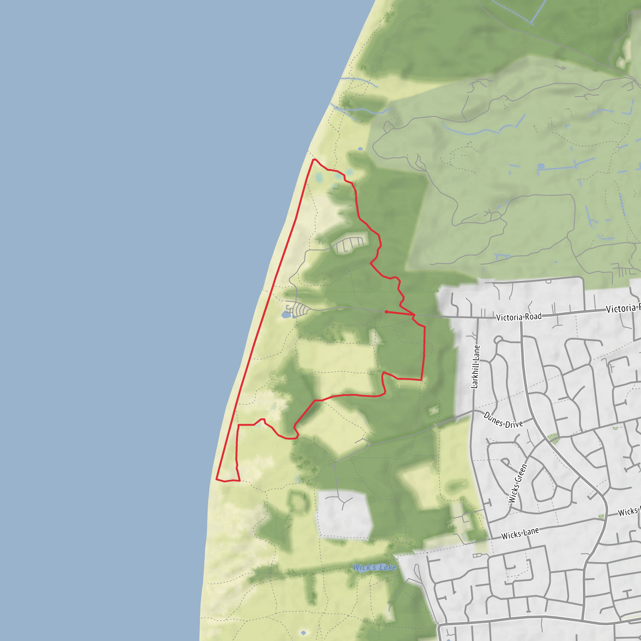
This easy loop of around 5 km (about 3.1 miles) is a relaxed coastal walk through one of the most distinctive landscapes on the Sefton coast, with very little overall climbing. Although your hike details list the elevation gain as around 0 metres, expect the route to feel mostly flat with only minor undulations where paths cross low dunes and sandy ground. Comparable nearby Formby coastal loops on HiiKER are listed at 4.6 km (2.9 miles) and easy, while National Trust route information for the same coastal area notes gently rolling sandy terrain rather than any sustained ascent. (hiiker.app)
The setting is a mix of beach-edge paths, dune systems, pinewoods, and open coastal views. Around Formby, the landscape is shaped by wind, shifting sand, and the broad shoreline facing the Irish Sea and the Mersey Estuary. That means this is a good choice for walkers wanting a short outing with plenty of scenery but without steep hills or technical ground. Underfoot, conditions can vary more than the distance suggests: some sections are firm and straightforward, while sandy stretches can be slower going, especially after dry weather or where dunes have drifted across paths. National Trust guidance for nearby Formby routes describes terrain here as largely sandy tracks with some compacted stone sections. (nationaltrust.org.uk)
For the start, the nearest well-known access point is Lifeboat Road car park, Lifeboat Road, Formby, L37 2EB, which is one of the main gateways into the Formby dune and beach area. If your route begins closer to the inland side, another significant access area is Freshfield railway station, which Sefton Council identifies as the start and finish point for established Formby/Freshfield walks. (nationaltrust.org.uk)
Getting there
By car: Formby is reached most easily from the A565 Formby Bypass, with access from either Southport or Switch Island, where the road network connects onward to the M57, M58, M62, and M6. Parking near the coast is commonly focused around Lifeboat Road, but this car park is known to fill quickly on sunny days and weekends, so arriving early is wise. (nationaltrust.org.uk)
By public transport: Merseyrail services run regularly to Formby station, and the National Trust notes that the station is about 1.2 miles / 1.9 km from the Lifeboat Road entrance. Sefton also highlights Freshfield station as a practical trail access point for local walks in this area. For buses, local Formby services connect the village and stations, and National Trust information notes the F3 passes near Kirklake Corner and Lifeboat Road, while Arriva’s F1 Formby Circular serves Formby Station, Freshfield Station, and Watchyard Lane. Checking HiiKER before setting out is the best way to confirm the most suitable access path once you arrive. (nationaltrust.org.uk)
What to expect on the route
The walk is best approached as a gentle coastal circuit rather than a purely beach walk. You are likely to move between woodland shelter and more exposed dune or shoreline sections, so the character changes quickly despite the short distance. In the trees, the paths can feel enclosed and calm; out on the dunes, the landscape opens up with bigger skies, sea air, and wider views. Sefton describes the wider Formby and Freshfield area as offering views over both the Mersey Estuary and the Irish Sea, which gives a good sense of the scenery you can expect on a loop in this part of the coast. (sefton.gov.uk)
Because the route is short and easy, it suits families, casual walkers, and anyone wanting a half-day outing, but the coast still deserves respect. Wind can be strong even on otherwise pleasant days, and exposed sand can make progress slower than the mileage suggests. Footwear does not need to be heavy-duty, but shoes that cope well with sand and occasional uneven ground are a better choice than smooth-soled trainers. If recent weather has been wet, some path edges may be soft; if it has been dry and breezy, expect blown sand over sections of track. National Trust notes that nearby Formby routes can include narrow path sections and gradients on dune crossings, though nothing especially strenuous on the easier local walks. (nationaltrust.org.uk)
Nature and wildlife
Formby is especially well known for its dune habitats and pinewoods, and that variety is one of the biggest highlights of
What to expect?
Surfaces
Unknown
Sand
Asphalt
Gravel
Comments and Reviews
User comments, reviews and discussions about the Formby Loop via Mad Wharf, England.
average rating out of 5
0 rating(s)


