Download
3D Preview
Add to list
More
16.2 km
~3 hrs 34 min
200 m
Point-to-Point
“"Explore diverse landscapes and historical landmarks on the Prenton to West Kirby Walk, a 16 km journey."”
Starting near Prenton, England, the Prenton to West Kirby Walk spans approximately 16 km (10 miles) with an elevation gain of around 200 meters (656 feet). This point-to-point trail is rated medium in difficulty, making it suitable for moderately experienced hikers.
Getting There
To reach the trailhead near Prenton, you can either drive or use public transport. If driving, you can park near the Prenton Golf Club, which is a convenient starting point. For those using public transport, the nearest train station is Birkenhead Central. From there, you can take a local bus to Prenton, with several routes available that drop you off within walking distance of the trailhead.
Trail Overview
The trail begins in the suburban area of Prenton, gradually transitioning into more rural landscapes as you head west. The initial part of the hike is relatively flat, making it a good warm-up for the more undulating terrain ahead.
Key Landmarks and Sections
Prenton Golf Club to Storeton Woods (0-3 km / 0-1.9 miles): The first section takes you past the Prenton Golf Club and into Storeton Woods. This area is rich in history, with remnants of an old Roman road and Storeton Quarry, which provided sandstone for the construction of Liverpool Cathedral.
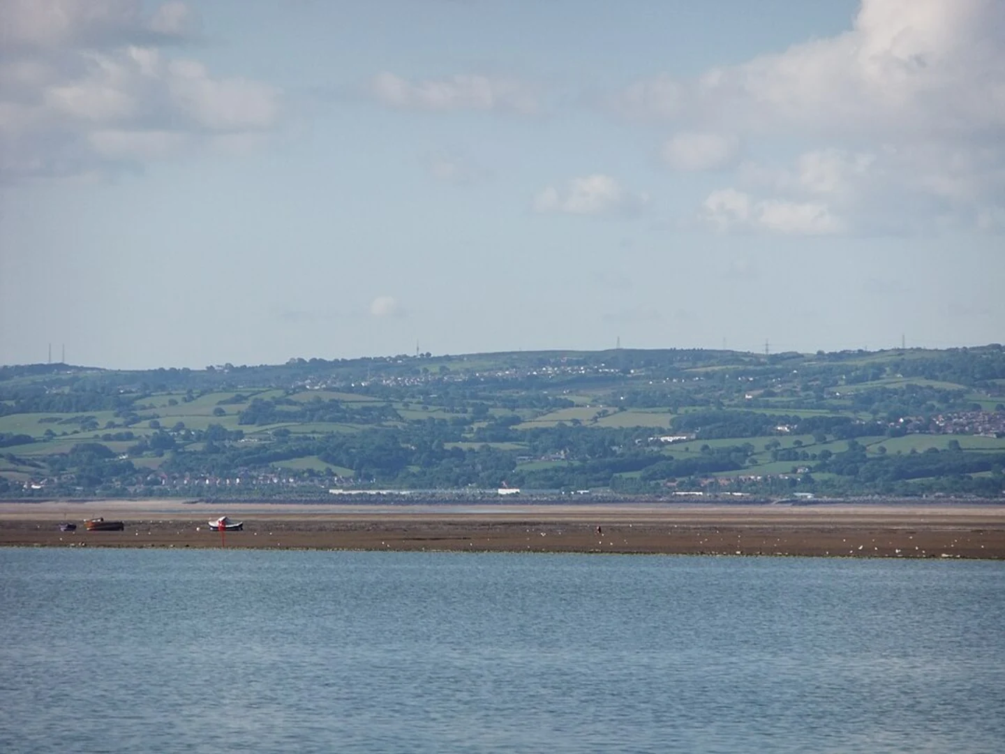
Storeton Woods to Thurstaston Common (3-8 km / 1.9-5 miles): As you leave Storeton Woods, the trail becomes more challenging with a gradual ascent. Thurstaston Common offers panoramic views of the Dee Estuary and the Welsh hills. This section is also a haven for birdwatchers, with species like skylarks and kestrels frequently spotted.
Thurstaston Common to Caldy Hill (8-12 km / 5-7.5 miles): The trail continues through Thurstaston Common and into Caldy Hill. This area is known for its heathland and ancient woodlands. The elevation gain here is more noticeable, but the well-maintained paths make it manageable. Look out for the old sandstone quarries and the Caldy Hill viewpoint, which offers stunning vistas of the Wirral Peninsula.
Caldy Hill to West Kirby (12-16 km / 7.5-10 miles): The final stretch descends towards the coastal town of West Kirby. As you approach, you'll pass through Ashton Park, a beautifully landscaped area with a lake and plenty of spots for a rest. The trail concludes at the West Kirby Marine Lake, a popular spot for water sports and a great place to relax after your hike.
Navigation and Safety
Given the varied terrain and multiple intersecting paths, it's advisable to use a reliable navigation tool like HiiKER to stay on track. The trail is generally well-marked, but having a digital map can be invaluable, especially in wooded areas where signage may be less visible.
Flora and Fauna
The trail offers a diverse range of flora and fauna. In the woodlands, you can expect to see bluebells in the spring and a variety of ferns and mosses. The heathlands are home to heather and gorse, which bloom vibrantly in late summer. Wildlife enthusiasts might spot rabbits, foxes, and a variety of bird species, including woodpeckers and owls.
Historical Significance
The region is steeped in history, from the Roman road in Storeton Woods to the old quarries in Caldy Hill. These quarries were instrumental in the construction of many significant buildings in Liverpool, adding a layer of historical intrigue to your hike.
Final Stretch
As you reach West Kirby, you'll find plenty of amenities including cafes, restaurants, and shops. The West Kirby Marine Lake is a highlight, offering opportunities for sailing and windsurfing. Public transport options are readily available for your return journey, with West Kirby train station providing direct links back to Birkenhead and Liverpool.

What to expect?
Activity types
Comments and Reviews
User comments, reviews and discussions about the Prenton to West Kirby Walk, England.
4.33
average rating out of 5
6 rating(s)