Download
3D Flyover
Add to list
More
24.0 km
~5 hrs 27 min
397 m
Point-to-Point
“A diverse 24 km hike from Plympton to Tavistock, combining natural beauty, historical landmarks, and moderate challenges.”
Starting near Plymouth, England, the Plympton to Tavistock Walk spans approximately 24 km (15 miles) with an elevation gain of around 300 meters (984 feet). This point-to-point trail is estimated to be of medium difficulty, making it suitable for moderately experienced hikers.
Getting There
To reach the trailhead, you can take public transport to Plymouth. From Plymouth city center, local buses or taxis can take you to Plympton, where the trail begins. If you're driving, there are parking facilities available in Plympton.
Trail Overview
The trail begins in Plympton, a historic town known for its medieval architecture and the ruins of Plympton Castle. As you set off, you'll traverse through a mix of urban and rural landscapes, offering a unique blend of scenery.
Key Landmarks and Sections
Plym Valley
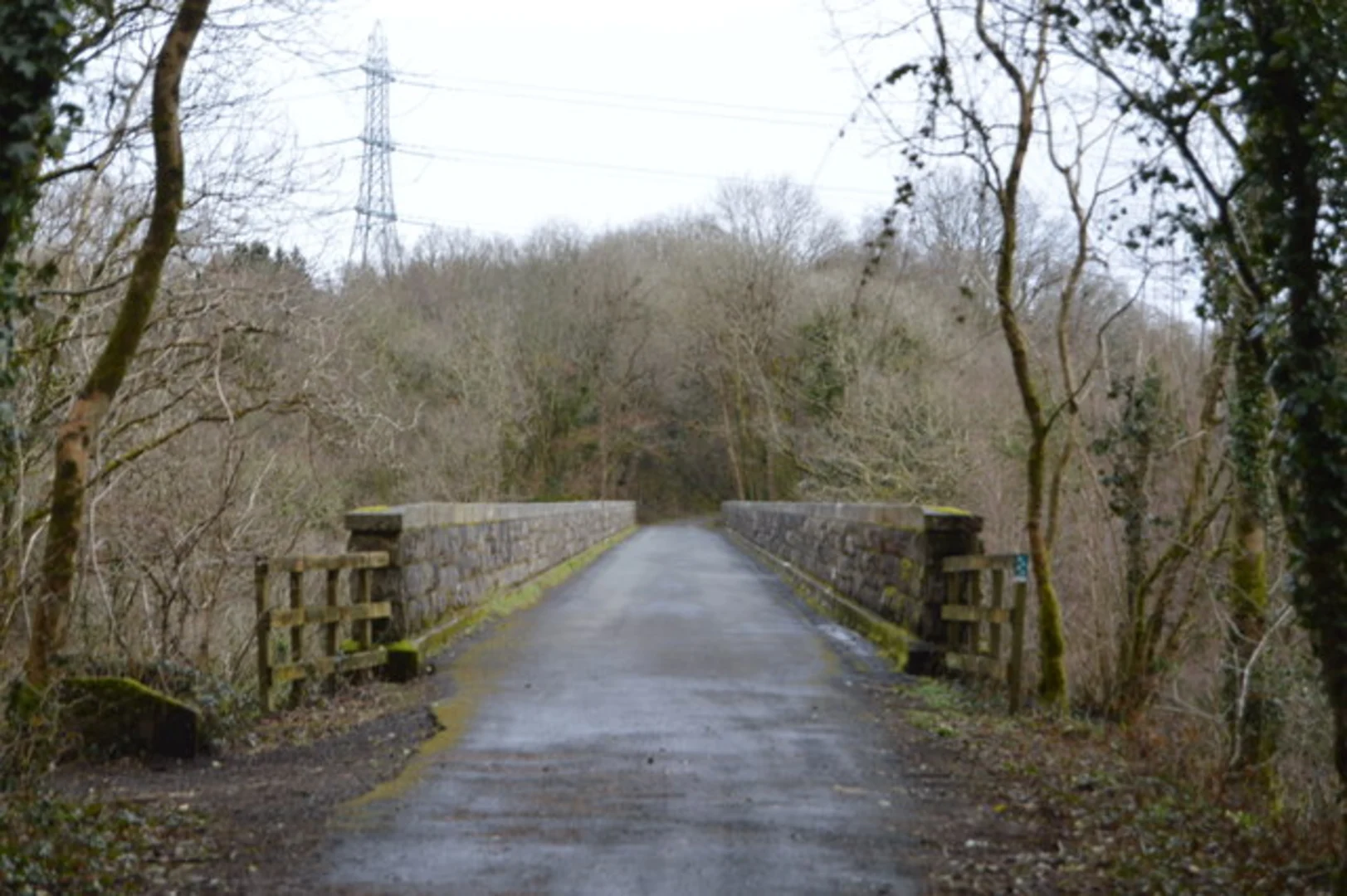
About 5 km (3 miles) into the hike, you'll enter Plym Valley. This area is rich in natural beauty, featuring dense woodlands and the serene River Plym. Keep an eye out for local wildlife, including deer and various bird species. The elevation gain here is gentle, making it a pleasant start to your journey.
Shaugh Prior
At approximately 10 km (6 miles), you'll reach the village of Shaugh Prior. This quaint village is a great spot to take a break and explore its historical church, St. Edward's, which dates back to the 12th century. The surrounding area offers stunning views of Dartmoor National Park.
Dartmoor National Park
As you continue, the trail takes you into the fringes of Dartmoor National Park. This section is more challenging, with steeper inclines and rugged terrain. The park is famous for its granite tors, ancient woodlands, and open moorlands. The elevation gain here is more pronounced, so be prepared for a bit of a workout.
Roborough Down
Around the 18 km (11 miles) mark, you'll come across Roborough Down. This open heathland offers panoramic views and is a great spot for birdwatching. The terrain here is relatively flat, providing a welcome respite before the final stretch.
Final Stretch to Tavistock
The last 6 km (4 miles) of the trail lead you downhill towards Tavistock. This historic market town is known for its rich history, including the Tavistock Abbey ruins and the Tavistock Canal. The town is also a UNESCO World Heritage Site, recognized for its mining history.
Navigation and Safety
For navigation, it's highly recommended to use HiiKER, which provides detailed maps and real-time updates. Ensure you have adequate water, snacks, and appropriate clothing, as the weather can be unpredictable.
Historical Significance
The entire region is steeped in history, from the medieval roots of Plympton to the mining heritage of Tavistock. Along the way, you'll encounter remnants of ancient settlements, old mining sites, and historical landmarks that offer a glimpse into the area's rich past.
This trail offers a diverse experience, blending natural beauty with historical intrigue, making it a rewarding hike for those prepared to take on its challenges.

What to expect?
Activity types
Comments and Reviews
User comments, reviews and discussions about the Plympton to Tavistock Walk, England.
4.6
average rating out of 5
5 rating(s)