Download
3D Flyover
Add to list
More
17.1 km
~3 hrs 36 min
114 m
Loop
“Traverse the River Thames loop for historic, scenic splendor in Oxfordshire's countryside.”
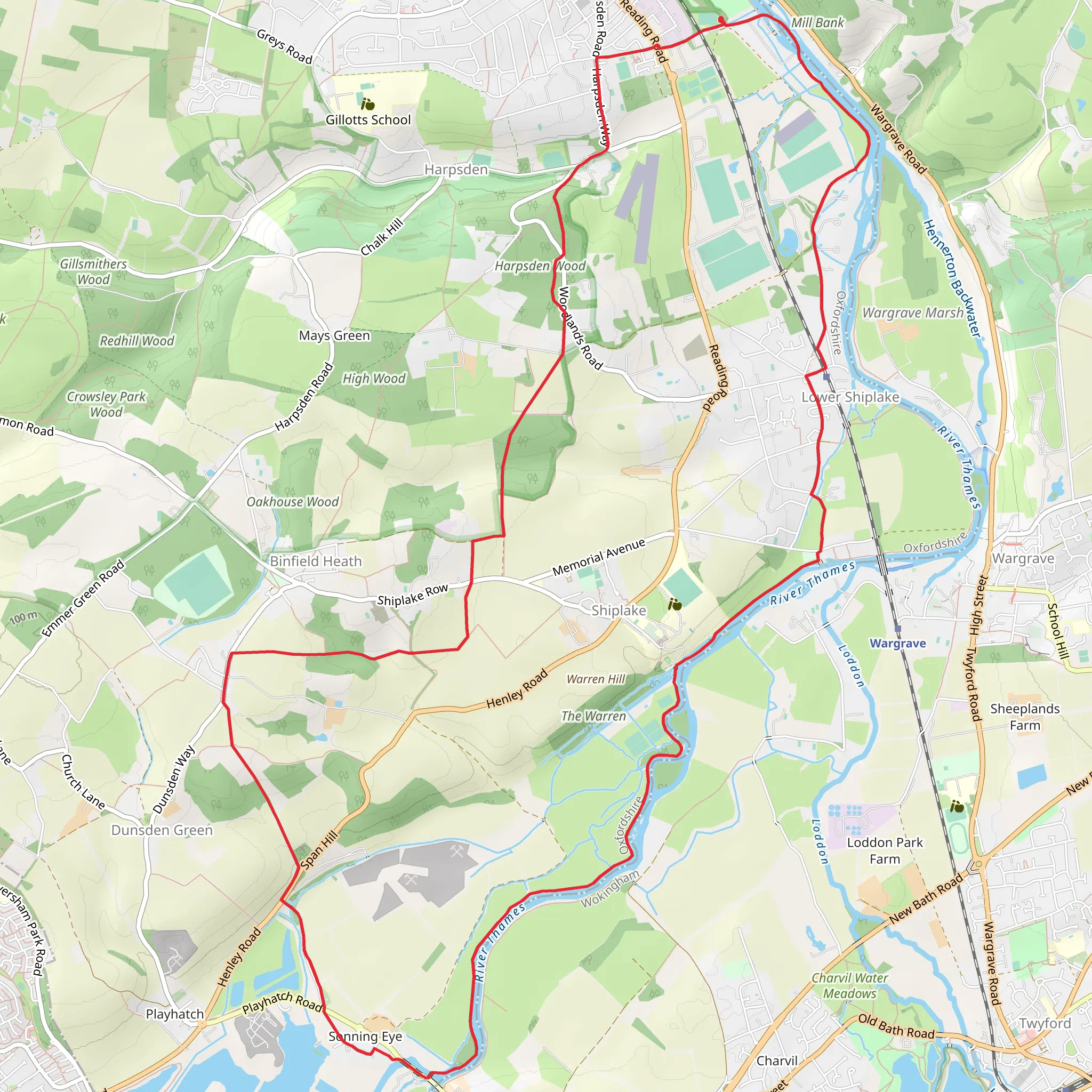
Embarking on the Marsh Meadows to Sonning Eye Loop via River Thames, hikers will traverse approximately 17 kilometers (about 10.5 miles) of picturesque landscapes with a gentle elevation gain of around 100 meters (328 feet). This loop trail, nestled near Oxfordshire, England, offers a medium difficulty rating and is a delightful journey for those looking to explore the English countryside.
Getting to the Trailhead
The trailhead is accessible by both public transport and car. For those opting for public transport, the nearest train station is in Reading, from which you can take a bus towards Oxfordshire, alighting near Marsh Meadows. If driving, you can park your vehicle in the public parking areas close to the trailhead, which is situated near the town of Henley-on-Thames.
The Journey Begins
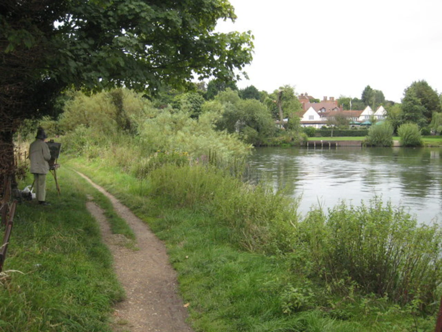
Setting out from Marsh Meadows, you'll be greeted by the lush greenery and the tranquil waters of the River Thames. The initial stretch of the trail follows the riverbank, offering serene views and the opportunity to spot a variety of waterfowl and other wildlife.
Historical Significance
As you meander along the path, you'll be walking in the footsteps of history. The River Thames has been a significant waterway for centuries, playing a pivotal role in trade, transport, and the cultural development of the region. The trail passes through areas that have been witness to many historical events and have inspired countless artists and writers.
Landmarks and Wildlife
Approximately 5 kilometers (3.1 miles) into the hike, you'll come across the picturesque Sonning Bridge, a historic crossing point over the Thames that dates back to the 18th century. The village of Sonning itself, with its charming buildings and quaint streets, is a perfect spot to take a rest and perhaps enjoy a meal at a local pub.
Continuing on, the trail loops back towards the starting point, skirting along the edge of the river and through fields that showcase the rural beauty of Oxfordshire. Keep an eye out for red kites soaring above and the occasional deer darting through the meadows.
Navigating the Trail
To navigate the trail, HiiKER is an excellent tool to ensure you stay on the right path. It provides detailed maps and waypoints that can be invaluable, especially at trail intersections or less clearly marked sections.
Preparation and Planning
Before setting out, ensure you have adequate water and food, as well as weather-appropriate clothing. The English weather can be unpredictable, so it's wise to pack a waterproof jacket. Also, consider the time of year, as the trail can be particularly lush in spring and summer, while autumn brings a display of vibrant foliage.
Conclusion
The Marsh Meadows to Sonning Eye Loop via River Thames is a trail that offers a blend of natural beauty, wildlife, and a touch of English history. Whether you're a seasoned hiker or someone looking to enjoy a leisurely walk in the countryside, this trail promises a delightful experience in the heart of Oxfordshire.
What to expect?
Activity types
Comments and Reviews
User comments, reviews and discussions about the Marsh Meadows to Sonning Eye Loop via River Thames, England.
4.5
average rating out of 5
4 rating(s)
