Download
3D Flyover
Add to list
More
13.1 km
~2 hrs 59 min
227 m
Loop
“Discover history, wildlife, and scenic vistas on the rewarding 13km Castle Hill and Oxford Green Belt Way loop.”
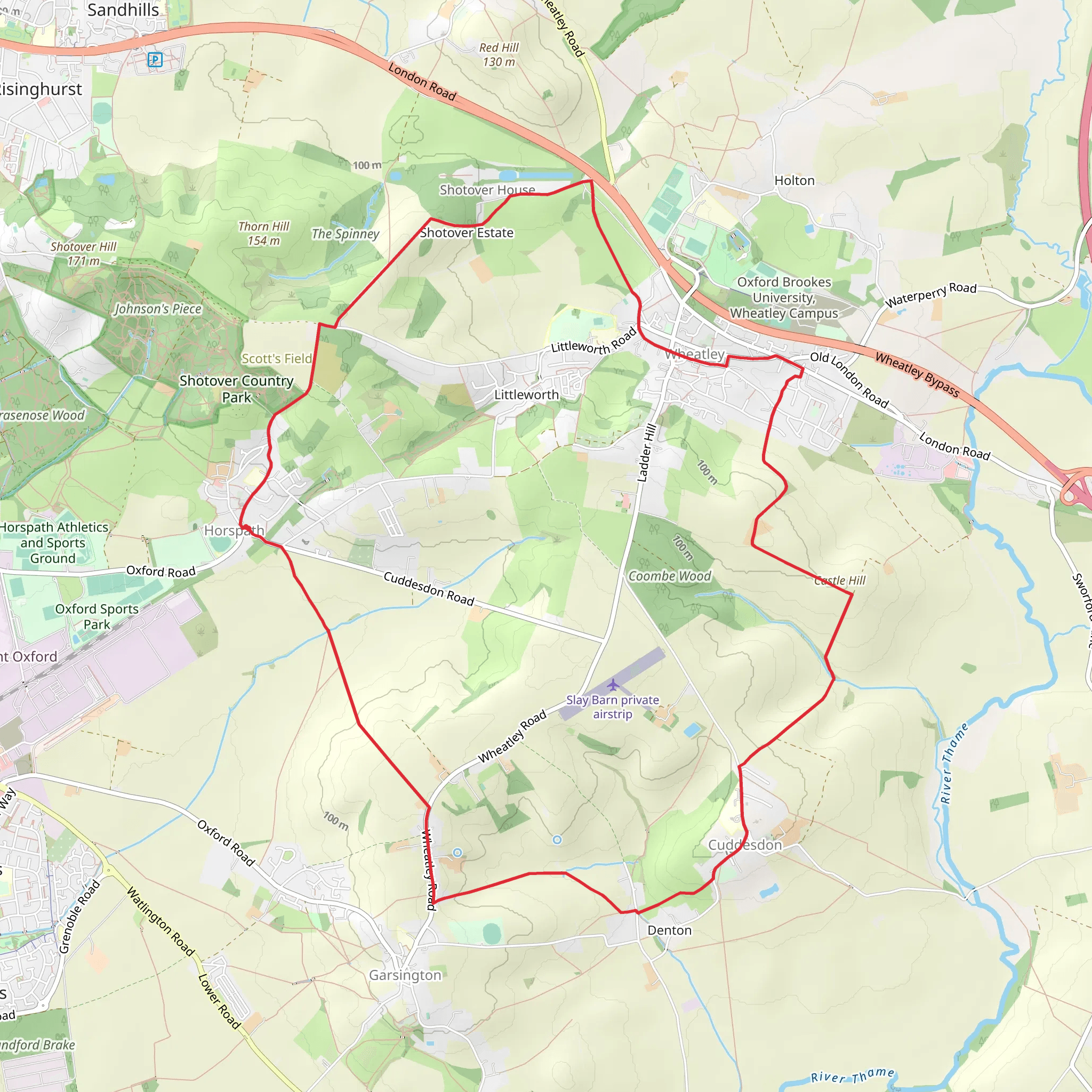
Starting near Oxfordshire, England, the Castle Hill and Oxford Green Belt Way is a loop trail that spans approximately 13 kilometers (8 miles) with an elevation gain of around 200 meters (656 feet). This medium-difficulty trail offers a blend of historical landmarks, lush greenery, and diverse wildlife, making it a rewarding experience for hikers.
Getting There
To reach the trailhead, you can either drive or use public transport. If you're driving, set your GPS to the vicinity of Oxfordshire, specifically near the village of Horspath, which is a convenient starting point. For those using public transport, you can take a train to Oxford Station and then catch a local bus to Horspath. The bus services are frequent and reliable, making it easy to access the trailhead.
Trail Overview
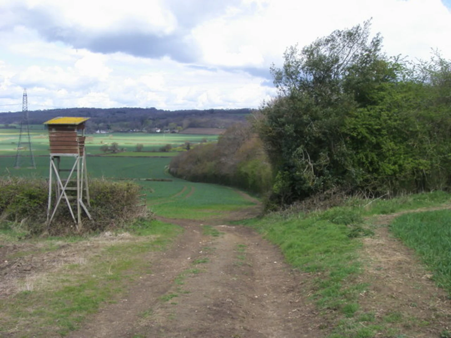
The trail begins near Horspath and quickly immerses you in the serene countryside of Oxfordshire. As you start your hike, you'll notice the gentle ascent that gradually leads you to Castle Hill. This initial section is relatively easy, allowing you to warm up and enjoy the surrounding meadows and woodlands.
Castle Hill
At approximately 3 kilometers (1.9 miles) into the hike, you'll reach Castle Hill. This site is historically significant, as it was once an Iron Age hill fort. The remnants of the fortifications are still visible, offering a glimpse into the area's ancient past. The elevation here provides panoramic views of the Oxfordshire countryside, making it a perfect spot for a short break and some photography.
Oxford Green Belt Way
Continuing from Castle Hill, the trail merges with the Oxford Green Belt Way. This section is characterized by rolling hills and expansive fields. The path is well-marked, but it's advisable to use HiiKER for navigation to ensure you stay on track. Around the 6-kilometer (3.7 miles) mark, you'll encounter a series of small woodlands teeming with local wildlife, including deer, foxes, and a variety of bird species.
Points of Interest
As you progress, you'll pass through several points of interest. One notable landmark is the Shotover Country Park, located roughly 8 kilometers (5 miles) into the hike. This park is a haven for nature lovers, featuring diverse habitats such as heathland, woodland, and grassland. It's an excellent spot for birdwatching and offers several picnic areas.
Final Stretch
The final stretch of the trail takes you through more open fields and past quaint farmhouses, gradually looping back towards Horspath. The descent is gentle, making for a comfortable end to your hike. By the time you complete the loop, you'll have experienced a rich tapestry of Oxfordshire's natural beauty and historical significance.
Preparation and Tips
Given the medium difficulty rating, it's essential to wear sturdy hiking boots and bring sufficient water and snacks. The trail can be muddy in sections, especially after rain, so waterproof clothing is advisable. While the path is generally well-maintained, having HiiKER on hand will help you navigate any tricky sections and ensure you enjoy a seamless hiking experience.
This trail offers a perfect blend of natural beauty, historical intrigue, and moderate physical challenge, making it an ideal choice for both seasoned hikers and those looking to explore the Oxfordshire countryside.
What to expect?
Activity types
Comments and Reviews
User comments, reviews and discussions about the Castle Hill and Oxford Green Belt Way, England.
4.67
average rating out of 5
3 rating(s)
