Download
3D Flyover
Add to list
More
8.9 km
~2 hrs 2 min
156 m
Loop
“Winding through meadows, ancient woods, and moorland, this gentle loop reveals Northumberland’s tranquil charm.”
Starting from a trailhead near the village of Alwinton, Northumberland, this 9 km (about 5.6 miles) loop offers a gentle introduction to the rolling landscapes of Northumberland National Park. With an elevation gain of approximately 200 metres (around 656 feet), the route is well-suited for those seeking an easy yet scenic walk through some of England’s most tranquil countryside.
Getting There
Alwinton is the nearest village and serves as the main access point for the trail. For those arriving by car, parking is available at the Alwinton car park, located just off the B6341. If using public transport, the nearest major rail station is in Morpeth. From Morpeth, local bus services (such as the 16 or 15A) run towards Rothbury, and from there, a connecting bus or taxi can take you to Alwinton. Always check current timetables, as rural services can be infrequent.
Trail Overview and Navigation
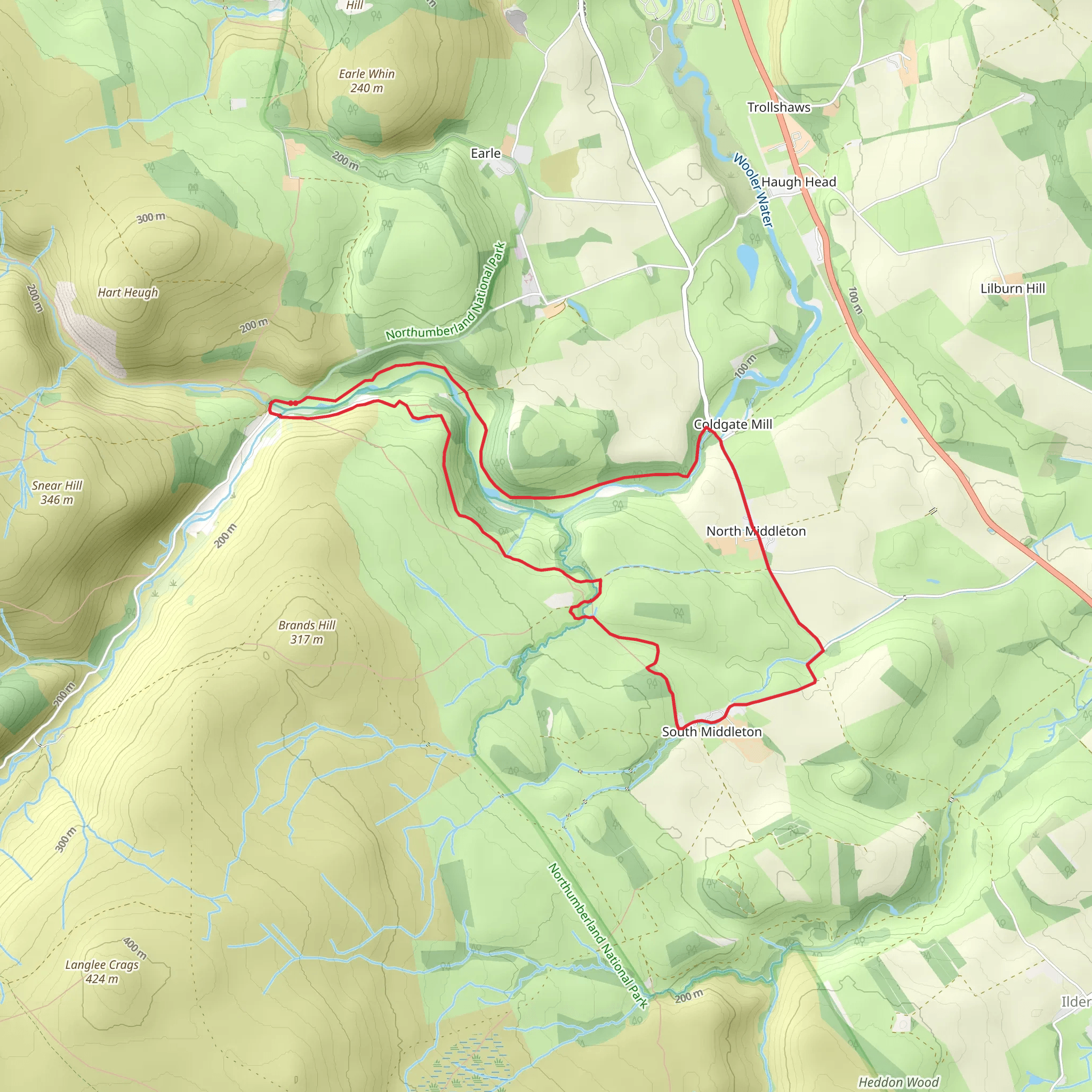
The loop begins by following the River Alwin, a peaceful waterway that meanders through the valley. Early on, you’ll pass through open meadows and patches of ancient woodland, where roe deer and red squirrels are sometimes spotted. The path is well-defined, but carrying a map or using HiiKER for navigation is recommended, especially where the trail branches near Thorneybank Plantation.
Highlights and Landmarks
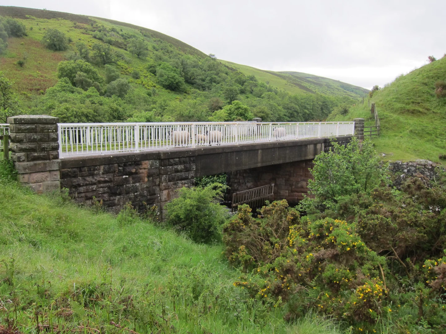
Coldgate Water: At roughly 2 km (1.2 miles) into the walk, the trail crosses Coldgate Water, a clear stream that’s home to dippers and herons. The crossing is via a sturdy footbridge, and the banks are a good spot for a short rest.
Thorneybank Plantation: Around the halfway mark, the route enters Thorneybank Plantation, a managed woodland of Scots pine and larch. In spring and early summer, the forest floor is carpeted with bluebells and wild garlic. Listen for the calls of woodpeckers and, if you’re lucky, catch a glimpse of a tawny owl roosting in the dense canopy.
Open Moorland Views: Exiting the plantation, the path climbs gently onto open moorland. Here, the landscape opens up, offering sweeping views across the Cheviot Hills. The highest point of the loop, at about 4.5 km (2.8 miles), is marked by a small cairn and provides a panoramic vantage over the surrounding valleys.
Nature and Wildlife
Northumberland National Park is renowned for its biodiversity. Along this loop, you may encounter curlews, lapwings, and skylarks in the open fields, while the woodlands shelter badgers and foxes. The area is also part of the UK’s largest Dark Sky Park, so if you’re walking late in the day, you might catch the beginnings of a spectacular sunset or even early stars.
Historical Significance
The region around Alwinton has been settled since prehistoric times, with Bronze Age burial cairns and remnants of ancient field systems visible on nearby hillsides. The village itself is steeped in history, with St. Michael and All Angels Church dating back to the 12th century, worth a visit before or after your walk.
Trail Conditions and Preparation
Paths are generally well-maintained and suitable for most walkers, though after heavy rain, sections near the river can become muddy. Sturdy walking boots are advisable. There are no facilities directly on the trail, so bring water and snacks. Mobile signal can be patchy, so downloading the route on HiiKER before setting out is recommended.
This loop is a peaceful escape into the heart of Northumberland, offering a blend of riverside walking, woodland, and open moorland, all within easy reach of Alwinton village.
What to expect?
Activity types
Comments and Reviews
User comments, reviews and discussions about the Coldgate Water and Thorneybank Plantation Loop, England.
5.0
average rating out of 5
2 rating(s)
