Download
3D Flyover
Add to list
More
16.5 km
~4 hrs 8 min
499 m
Loop
“The Semerwater and Green Side End Wells Loop is a scenic, wildlife-rich 17 km trail with historical landmarks.”
Starting near North Yorkshire, England, the Semerwater and Green Side End Wells Loop is a captivating 17 km (10.5 miles) loop trail with an elevation gain of around 400 meters (1,312 feet). This medium-difficulty trail offers a blend of natural beauty, historical landmarks, and diverse wildlife, making it a rewarding experience for hikers.
Getting There
To reach the trailhead, you can drive or use public transport. If driving, head towards Bainbridge, North Yorkshire, and park near the village. For those using public transport, the nearest significant landmark is the town of Hawes, which is accessible by bus from larger towns like Leyburn or Richmond. From Hawes, a short taxi ride or a local bus can take you to Bainbridge.
Trail Overview
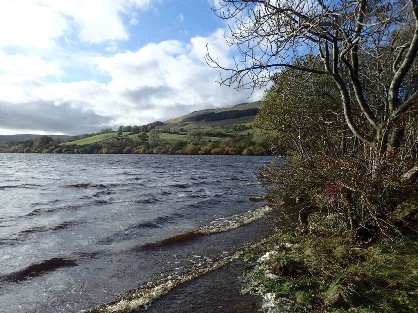
The trail begins near Bainbridge, a quaint village with historical significance dating back to Roman times. As you start your hike, you'll follow a path that leads you towards Semerwater, one of the largest natural lakes in North Yorkshire. The initial stretch is relatively flat, allowing you to ease into the hike while enjoying the serene waters of Semerwater.
Semerwater to Green Side End
After approximately 3 km (1.9 miles), you'll start to ascend towards Green Side End. This section of the trail offers a moderate climb, gaining about 200 meters (656 feet) in elevation over the next 4 km (2.5 miles). The ascent provides stunning panoramic views of the surrounding Yorkshire Dales, a landscape characterized by rolling hills, dry stone walls, and scattered farmsteads.
Wildlife and Flora
As you hike, keep an eye out for local wildlife. The area is home to a variety of bird species, including curlews, lapwings, and red kites. You might also spot mammals such as rabbits, hares, and occasionally deer. The flora is equally diverse, with heather, wildflowers, and ancient woodlands adding to the trail's charm.
Historical Landmarks
Around the halfway mark, near the summit of Green Side End, you'll encounter remnants of historical significance. Look out for old stone structures and boundary markers that date back to medieval times. These landmarks offer a glimpse into the region's rich history and the lives of those who once inhabited these lands.
Descent and Return Loop
The descent from Green Side End is gradual, taking you through lush meadows and past bubbling streams. After about 10 km (6.2 miles) into the hike, you'll reach the village of Stalling Busk. This picturesque village is an excellent spot for a short break, with its charming stone cottages and a small church that dates back to the 18th century.
From Stalling Busk, the trail loops back towards Semerwater, following a gentle path that meanders through open fields and along the lake's edge. The final stretch is relatively flat, allowing you to enjoy the tranquil scenery as you make your way back to Bainbridge.
Navigation and Safety
For navigation, it's recommended to use HiiKER, which provides detailed maps and real-time updates. Ensure you have appropriate hiking gear, including sturdy boots, weather-appropriate clothing, and sufficient water and snacks. The trail can be muddy in sections, especially after rain, so be prepared for varying trail conditions.
This loop trail offers a perfect blend of natural beauty, historical intrigue, and moderate physical challenge, making it an ideal choice for hikers looking to explore the Yorkshire Dales.

What to expect?
Activity types
Comments and Reviews
User comments, reviews and discussions about the Semerwater and Green Side End Wells Loop, England.
4.0
average rating out of 5
1 rating(s)