Download
3D Flyover
Add to list
More
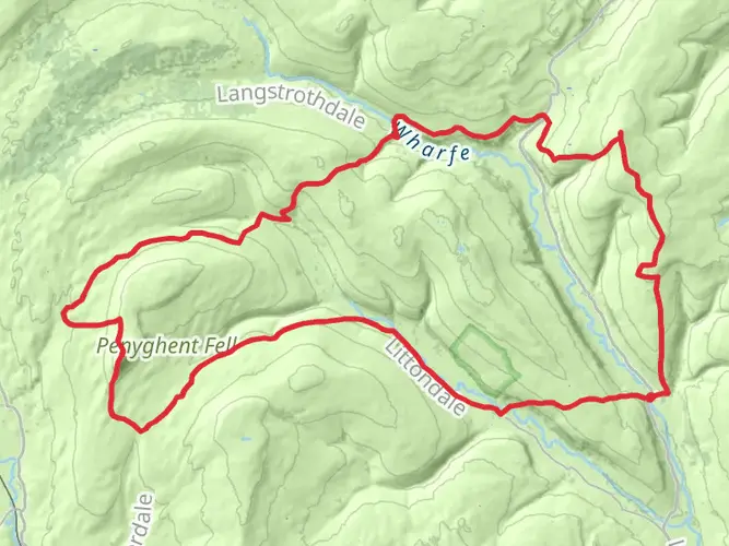
23.5 km
~5 hrs 44 min
627 m
Loop
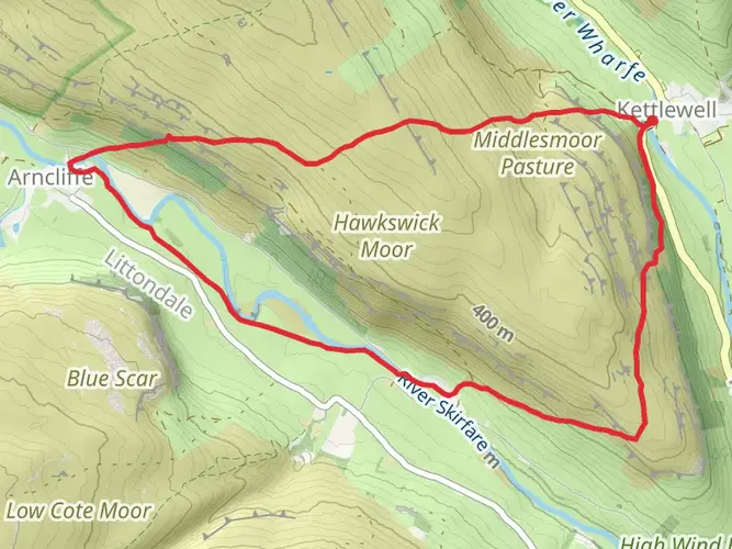
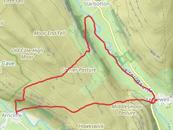
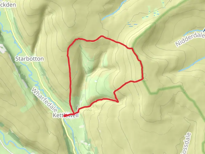
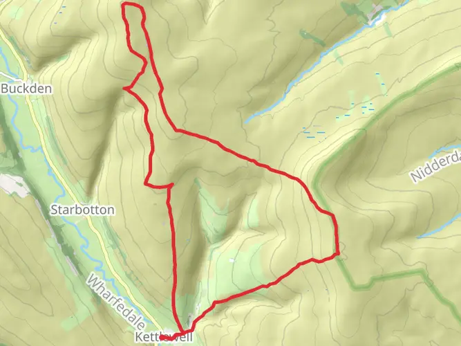
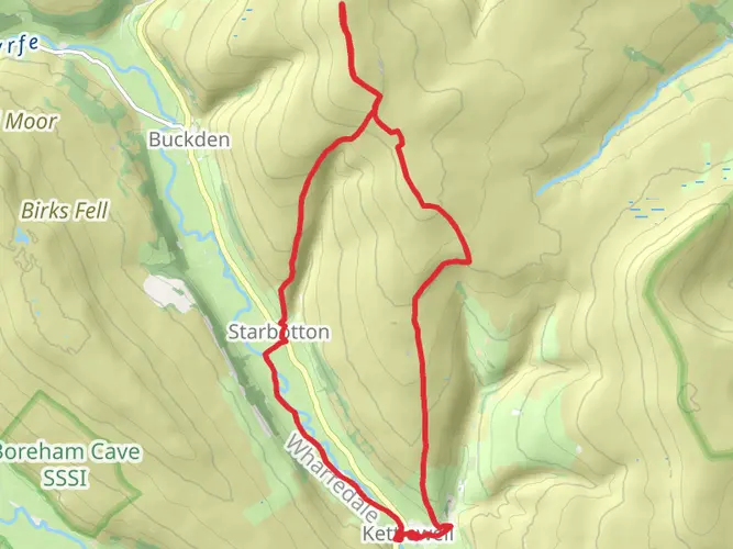
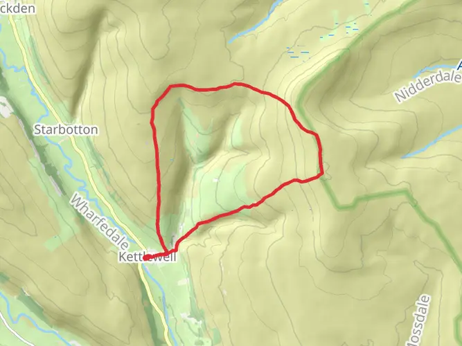
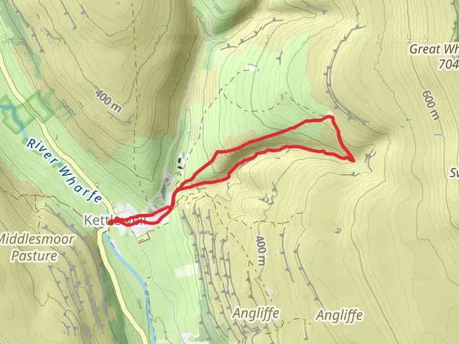
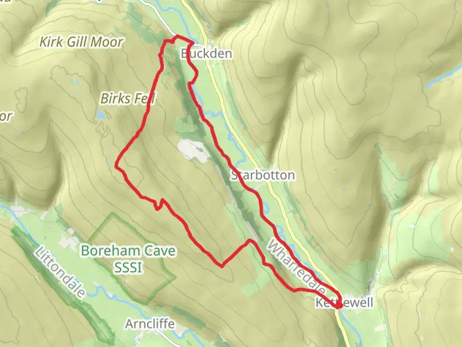
Used as a training route for a work charity event. A nice walk that suits that purpose well - increasing the distance for those I led on it and introducing some hill. I've since walked it again with my son and his friend.
Things to note: The stepping stones approaching Litton are only accessible when the water is low enough. First time we did this (September 2016) the river was quite dry here, flowing underground. Second time it had risen to just cover one of the stones. Traction was still OK in our boots, but the path along the river edge was also approaching the point of flooding. If the water is any higher then this will be impassible. Fortunately the diversion is easy - continue up the Western side of the river and cross the bridge into Litton instead.
The path descending towards Buckden from Firth Fell is now paved for a fair distance, and was clearly visible for the rest. This makes navigation a lot easier (we had to use map and compass in 2016) and boots a lot cleaner.
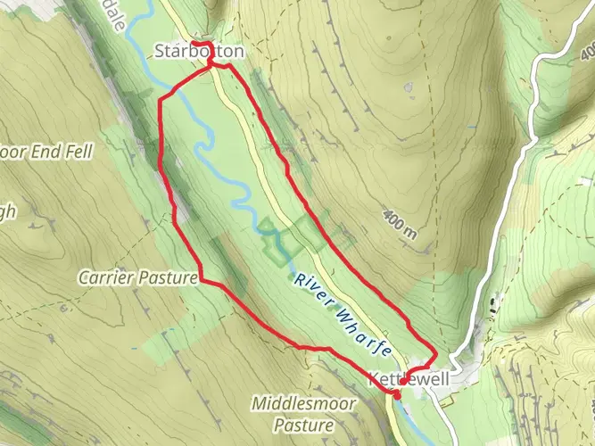
There is a pair of chains hung across the river as a crossing that could be used by the brave to enter Starbotton. My son and his friend wanted to. I prefer the bridge as plotted.
AI Planner
Days planned around your pace, with somewhere to stay each night.

Surfaces
Unknown
Grass
Asphalt
Gravel
Dirt
Unpaved
Wood
Concrete
Ground
Comments and Reviews
User comments, reviews and discussions about the Kettlewell Litton Buckden Loop, England.
average rating out of 5
0 rating(s)