Download
3D Flyover
Add to list
More
59.3 km
~3 days
2104 m
Multi-Day
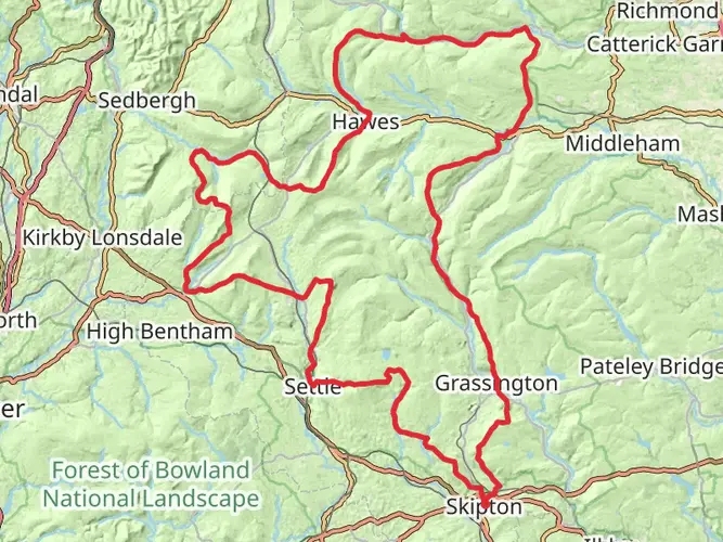
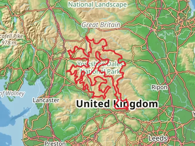
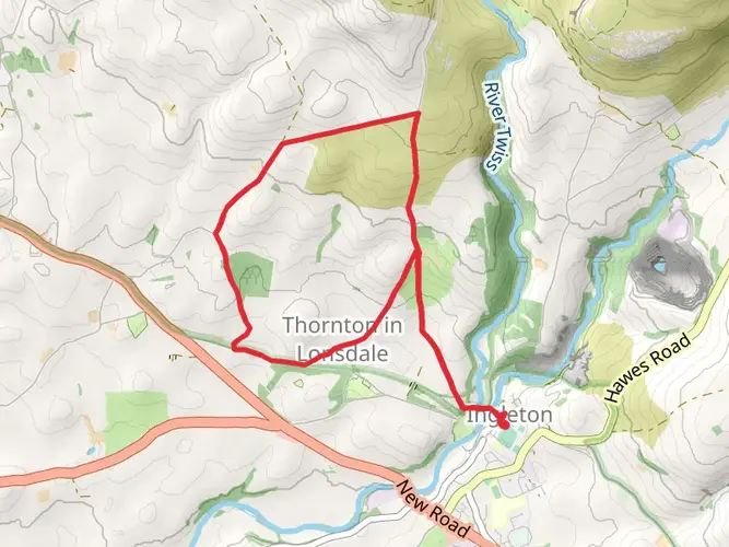
The Ingleton to Grassington via Pennine Way is a 59.3 km trail that starts in Craven, North Yorkshire, England. Based on our data, the hike is graded as Medium. For information on how we grade trails, please read measuring the difficulty of a hiking trail on hiiker. Also, check our latest community posts for trail updates. This hike can be completed in approx 3 days. Caution is advised on trail times as this depends on multiple variables. For more info read about how we calculate hike time.

What to expect?
Activity types
Frequently asked questions
How long is the Ingleton to Grassington via Pennine Way hike and how many days does it take?
The Ingleton to Grassington via Pennine Way route is 59.31 km long with 2,104 m of climbing, so it is usually treated as a multi-day walk rather than a single outing. Most hikers split it into 2 to 3 days, especially with the sustained elevation and Pennine Way terrain through the Yorkshire Dales.
Is the Ingleton to Grassington via Pennine Way hike difficult?
Ingleton to Grassington via Pennine Way is rated medium, but the numbers make it a serious walk: 59.31 km in total with 2,104 m of ascent. The challenge comes less from technical ground and more from the distance, repeated climbs, and the fact that it is best approached as a multi-day route across exposed Dales country.
What landmarks are on the Ingleton to Grassington via Pennine Way route?
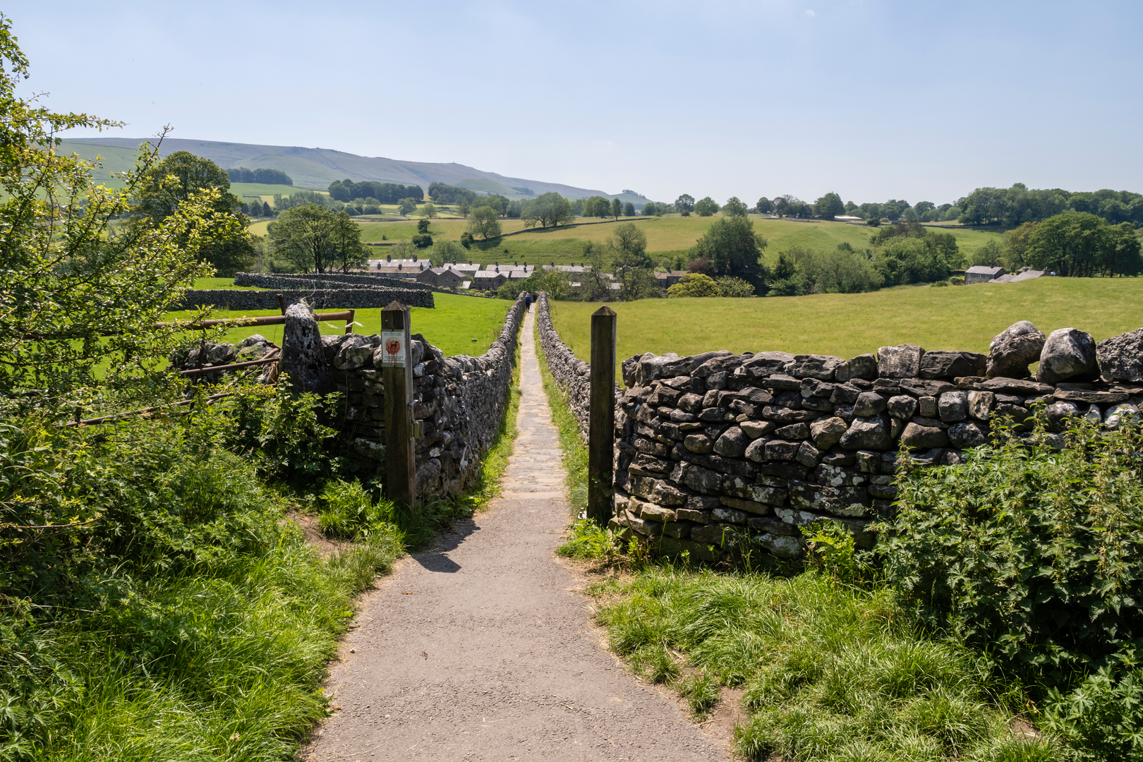
This section of the Pennine Way passes through some of the best-known limestone scenery in the Yorkshire Dales, including Pen-y-Ghent, Malham Cove, and Malham Tarn. Those landmarks are among the signature features of the route between the southern Dales and Wharfedale, giving this 59.31 km stretch a mix of high ground, limestone pavement, and classic Pennine Way scenery.
Can dogs go on the Ingleton to Grassington via Pennine Way hike?
Dogs can generally be taken on this route, but much of the walk lies in the Yorkshire Dales National Park, where dogs should be kept on a lead on public rights of way and in fields with livestock. That matters on the Pennine Way because this stretch crosses working farmland as well as open fell and moorland.
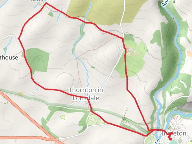
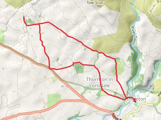
Where do you start and finish the Ingleton to Grassington via Pennine Way hike?
The walk starts in Ingleton in North Yorkshire and finishes in Grassington, also in North Yorkshire, following the Pennine Way north through the Yorkshire Dales. Because it is a point-to-point route rather than a loop, transport planning matters more than on a circular hike, especially for a 59.31 km multi-day walk.
Is there public transport at the Grassington end of the Ingleton to Grassington via Pennine Way hike?
Grassington is served by buses from Station Road, including services linking the village with places such as Skipton, Ilkley, Kettlewell, Buckden, and Hawes. Ingleton does not have an active railway station, so the finish at Grassington is generally the easier end for onward public transport on this Pennine Way section.
Comments and Reviews
User comments, reviews and discussions about the Ingleton to Grassington via Pennine Way, England.
average rating out of 5
0 rating(s)