Download
3D Flyover
Add to list
More
3.1 km
~44 min
75 m
Loop
“A compact yet stirring moorland loop reveals vast drama, wooded calm, and ancient landscape stories.”
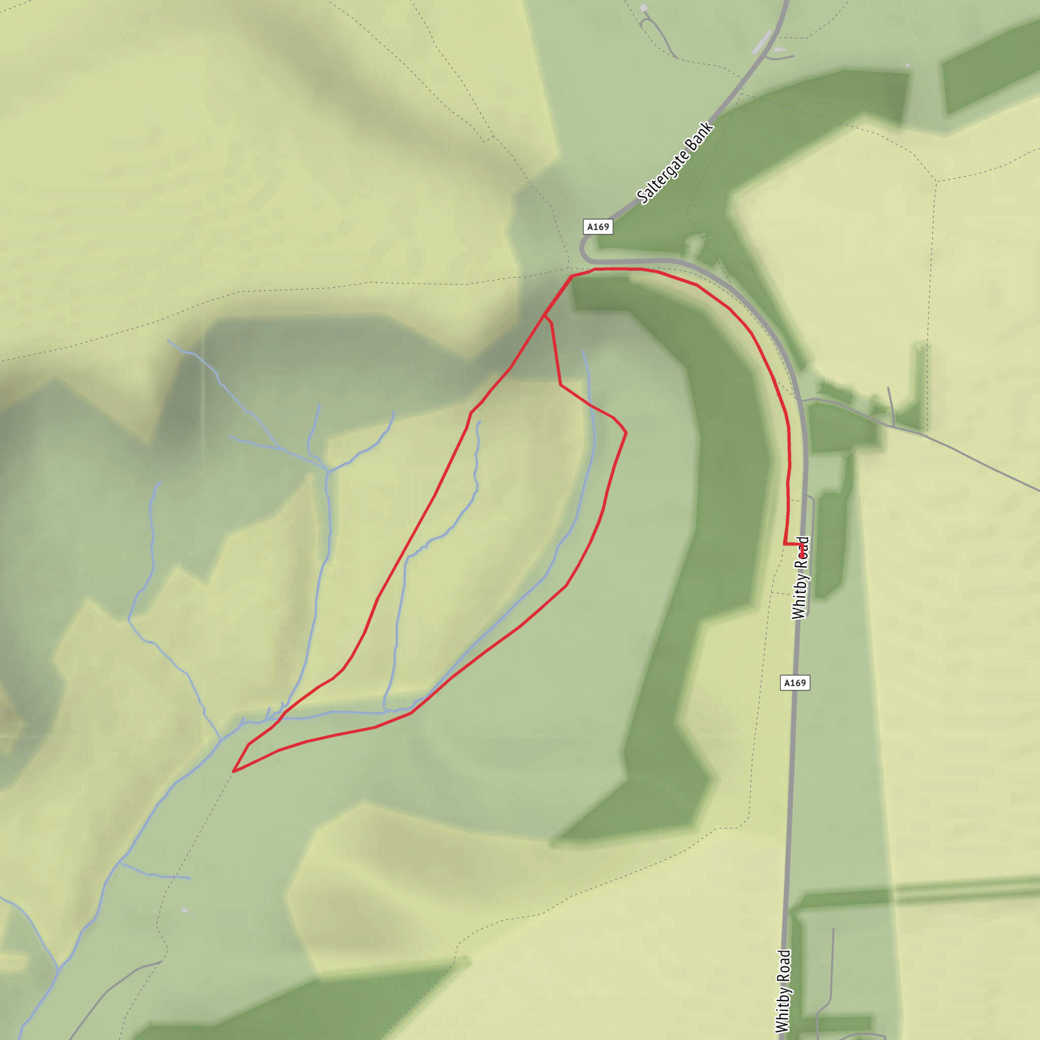
This medium-rated loop explores one of the North York Moors’ most dramatic natural landmarks in a compact outing of around 3 km / 1.9 miles, with roughly 100 metres / 330 feet of ascent. The walk begins near the Hole of Horcum (Saltergate) car park on the A169, a well-known trailhead and viewpoint in the North York Moors National Park, with public toilets available at the car park. (northyorkmoors.org.uk)
The route is short, but it packs in open moorland views, a steep-sided natural hollow, and a section through Horcum Wood, so it feels more varied than the distance suggests. Expect a mix of firm paths, grassy or sometimes muddy sections, and uneven ground where tree roots, wet patches, or worn trail surfaces can slow progress. With the elevation concentrated into a few rises and descents rather than spread evenly, the walk can feel more demanding than the mileage suggests, which suits its estimated medium difficulty. In wet or windy weather, the exposed moorland can feel much tougher. Planning the route in HiiKER is especially useful here because visibility on the moor can change quickly. (alltrails.com)
What to expect on the route
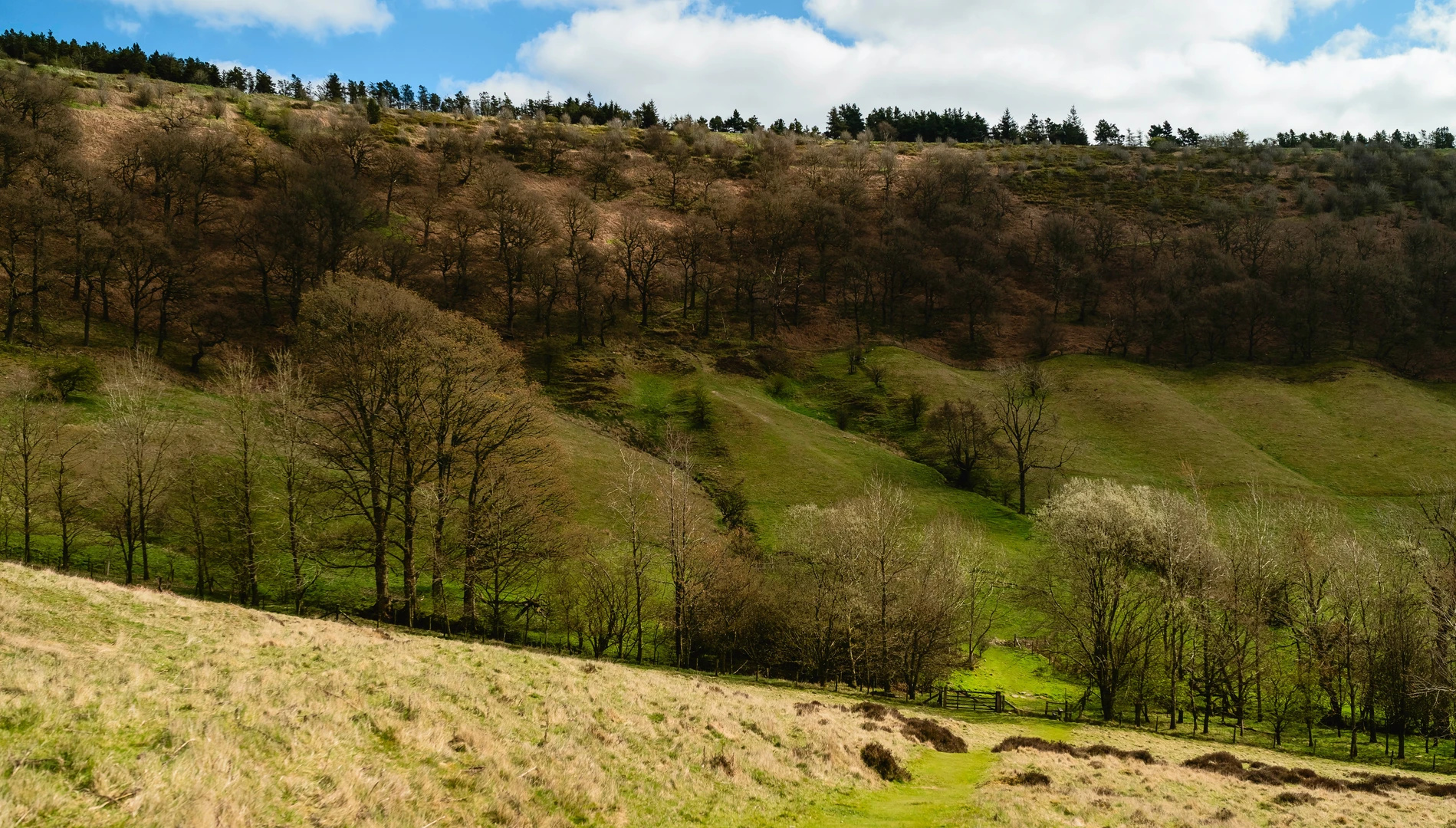
From the start near Saltergate, the landscape opens immediately into broad moorland scenery with long views across the Hole of Horcum, a huge natural amphitheatre-like hollow cut into the Tabular Hills. The feature is widely described as having formed through spring-sapping and erosion over a very long period, though local folklore gives it a much more dramatic origin story involving a giant scooping out the earth. (northyorkmoors.org.uk)
On a loop of about 3 km / 1.9 miles, the first section is likely to be the most open and panoramic, with the escarpment edge and valley forms giving a strong sense of scale almost immediately. Even on a short walk, it is worth allowing time for pauses, because the terrain drops away in a way that makes the surrounding moor feel much larger than the map suggests. If the route descends toward Horcum Wood, the character changes quickly from exposed upland to more sheltered woodland. That transition is one of the main pleasures of this walk: open heather moor above, then denser tree cover and beck-side habitat below. Sources describing longer Hole of Horcum circuits note woodland and Levisham Beck nearby, which helps explain the richer vegetation and more enclosed feel once you leave the rim. (alltrails.com)
The climb back out, or any short ascent along the loop, is where most of the 100 metres / 330 feet of elevation gain will be felt. Although not a mountain walk, the gradients can be enough to require steady footing, especially after rain when paths may be slick with mud or leaf litter. Good waterproof footwear is a sensible choice year-round.
Landmarks, wildlife, and local character
The standout landmark is the Hole of Horcum itself, one of the best-known landforms in the national park. Its broad bowl-like shape and steep sides make it visually striking in all seasons, from green summer slopes to brown-purple moorland tones later in the year. Horcum Wood adds a different texture, with mixed woodland habitat that can attract woodland birds and provide shelter for small mammals. Across the wider moorland, hikers may see or hear species associated with upland heath, including curlew, lapwing, and other ground-nesting birds depending on season, so keeping to the path and controlling dogs is especially important. The North York Moors are also known for heather moor, rough grassland, and wet flushes that support a range of insects and birdlife. (northyorkmoors.org.uk)
Historically, this area is significant well beyond its scenery. The national park notes that the Hole of Horcum lies along part of an ancient routeway across the moors, and the surrounding landscape contains evidence of prehistoric and later activity. The wider Levisham Moor area includes prehistoric and medieval remains, and the landscape assessment for the park also identifies monuments such as Horcum Dyke and barrows in nearby woodland. That means even a short recreational walk passes through terrain shaped not only by geology and water, but by thousands of years of human movement and settlement. (northyorkmoors.org.uk)
Getting to the start
For drivers, the nearest clear trailhead is Hole of Horcum (Saltergate) car park on the A169 between Pickering and Whitby, in the North York Moors National Park. This is the most practical starting point for a short loop in this area and the nearest significant landmark to the hike head information provided. (northyorkmoors.org.uk)
By public transport, access is possible but less direct. Bus services on the 840/95 corridor serve stops in the Hole of Horcum / Saltergate area
What to expect?
Surfaces
Unknown
Ground
Unpaved
Gravel
Comments and Reviews
User comments, reviews and discussions about the Hole of Horcum and Horcum Wood Loop, England.
average rating out of 5
0 rating(s)
