Download
3D Flyover
Add to list
More
15.9 km
~3 hrs 34 min
238 m
Point-to-Point
“Embark on the Ganton to Filey Walk for stunning landscapes, historical intrigue, and a moderate hiking challenge.”
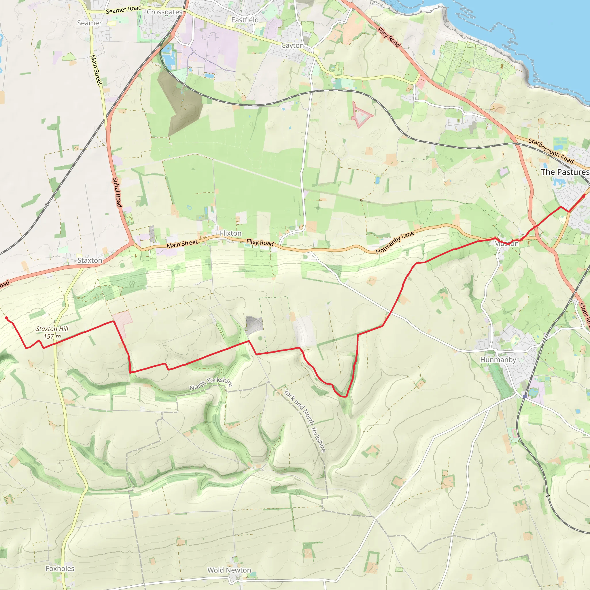
Starting near North Yorkshire, England, the Ganton to Filey Walk via Staxton Hill is a captivating 16 km (approximately 10 miles) point-to-point trail that offers a blend of natural beauty, historical significance, and moderate physical challenge. With an elevation gain of around 200 meters (656 feet), this trail is rated as medium difficulty, making it suitable for hikers with some experience.
Getting There
To reach the trailhead, you can either drive or use public transport. If driving, head towards Ganton, a small village located off the A64 road. For those using public transport, the nearest significant landmark is the Ganton Golf Club, which is well-connected by local bus services from Scarborough and York.
Trail Overview
The trail begins near Ganton, a village known for its picturesque countryside and historical significance. Ganton has a rich history dating back to the Domesday Book and is home to the renowned Ganton Golf Club, one of the top golf courses in the UK.
Initial Stretch: Ganton to Staxton Hill
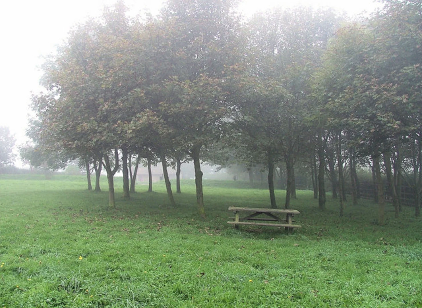
As you set off from Ganton, the trail meanders through open fields and gentle rolling hills. The first few kilometers are relatively flat, allowing you to ease into the hike. Keep an eye out for local wildlife, including rabbits, pheasants, and a variety of bird species. The trail gradually ascends towards Staxton Hill, offering panoramic views of the surrounding countryside.
Staxton Hill
At around the 8 km (5-mile) mark, you'll reach Staxton Hill, the highest point of the trail. The elevation gain here is approximately 100 meters (328 feet) from the start, providing a moderate challenge. Staxton Hill is a great spot to take a break and enjoy the sweeping views of the Vale of Pickering and the Yorkshire Wolds. The hill itself has historical significance, with evidence of ancient settlements and Roman roads in the vicinity.
Staxton Hill to Filey
Descending from Staxton Hill, the trail continues through a mix of woodland and open fields. The descent is gradual, making it easier on the knees. As you approach Filey, the landscape changes to coastal scenery. Filey is a charming seaside town with a rich history, including its role as a fishing village and later as a popular Victorian holiday destination.
Final Stretch: Entering Filey
The last few kilometers take you through the outskirts of Filey, where you can catch glimpses of the North Sea. The trail ends near Filey Brigg, a natural rock formation that juts out into the sea. Filey Brigg is a great spot for birdwatching, with species such as puffins and kittiwakes often spotted here.
Navigation and Safety
For navigation, it's highly recommended to use the HiiKER app, which provides detailed maps and real-time updates. The trail is well-marked, but having a reliable navigation tool ensures you stay on track. Be prepared for changing weather conditions, as the coastal climate can be unpredictable. Carry sufficient water, snacks, and a first-aid kit.
Historical Significance
The region is steeped in history, from ancient settlements on Staxton Hill to the Victorian heritage of Filey. Along the way, you'll encounter remnants of Roman roads and medieval farming practices, offering a glimpse into the area's rich past.
This trail offers a perfect blend of natural beauty, moderate physical challenge, and historical intrigue, making it a rewarding experience for any hiker.
What to expect?
Activity types
Comments and Reviews
User comments, reviews and discussions about the Ganton to Filey Walk via Staxton Hill, England.
4.0
average rating out of 5
1 rating(s)
