Download
3D Flyover
Add to list
More
154.5 km
~6 days
1345 m
Multi-Day
The Towers Way is a 154.5 km trail that starts in , North Lincolnshire, England. Based on our data, the hike is graded as Easy. For information on how we grade trails, please read measuring the difficulty of a hiking trail on hiiker. Also, check our latest community posts for trail updates. This hike can be completed in approx 6 days. Caution is advised on trail times as this depends on multiple variables. For more info read about how we calculate hike time.

What to expect?
Activity types
Frequently asked questions
How long does it take to hike the Towers Way in North Lincolnshire?
Towers Way is a 154.5 km long-distance route, so most walkers break it into about 8 to 10 days depending on pace and overnight stops. The route guide splits it into day stages such as Barton-upon-Humber to Goxhill at 12.5 km, Walesby to Market Rasen at 18.5 km, and Cherry Willingham to Lincoln at 11.5 km, which gives a good sense of typical daily mileage.
Where does the Towers Way start and finish?
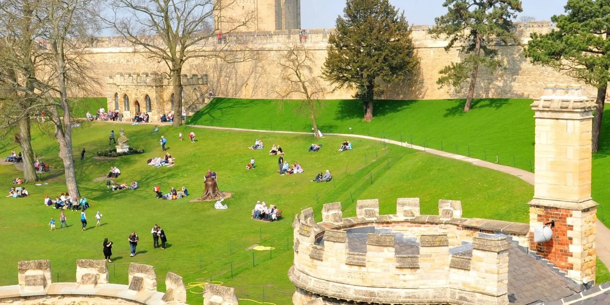
Towers Way begins in Barton-upon-Humber at Market Place and finishes at Lincoln Cathedral. The northern end has a car park with toilets behind The Old Mill in Barton-upon-Humber, while the southern end is a city-center finish at one of Lincoln’s best-known landmarks.
Is the Towers Way a difficult walk?
Towers Way is generally rated easy, with 1,345 m of total elevation gain spread across 154.5 km. That means it is not especially steep by long-distance trail standards, but it is still a multi-day walk, so the overall challenge comes more from distance and time on foot than from sustained climbing.
Can the Towers Way be walked in sections?
Yes. Towers Way is well suited to section hiking because the route guide breaks it into shorter stages between places including Barton-upon-Humber, Goxhill, Habrough, Laceby, Rothwell, Nettleton, Walesby, Market Rasen, Hackthorn, Cherry Willingham, and Lincoln. Individual stages range from about 11.5 km to 23.5 km, making it practical to plan day walks as well as a full end-to-end trip.
Where can you park for the Towers Way?
Parking is available at several stage points on Towers Way. Useful examples include the car park behind The Old Mill in Barton-upon-Humber, Habrough Station car park, the small Viking Way car park on Otby Lane at Walesby, Festival Hall car park off George Street in Market Rasen, and the shopping precinct car park on Croft Lane in Cherry Willingham.
Is the Towers Way accessible by public transport?
Parts of Towers Way are accessible by rail and bus, but transport is uneven across the route. Barton-upon-Humber and Habrough have rail access, and some villages such as Laceby and Nettleton are served by buses, while places like Rothwell and Walesby are more isolated and usually need careful planning, a taxi connection, or an overnight stop nearby.
What kind of terrain and scenery does the Towers Way have?
Towers Way mixes easier lowland walking with rolling Wolds scenery. Early sections around Barton-upon-Humber, Goxhill, and Thornton are flatter, while later stages near Nettleton, Claxby, Normanby le Wold, Walesby, and Market Rasen include ridge walking, field paths, country lanes, and broad views across the Lincolnshire Wolds before the route continues on toward Lincoln.
Comments and Reviews
User comments, reviews and discussions about the Towers Way, England.
4.0
average rating out of 5
1 rating(s)