Download
3D Flyover
Add to list
More
3.3 km
~40 min
4 m
Out and Back
“Enjoy a serene 3 km walk through Lincolnshire's countryside, rich in history, wildlife, and scenic river views.”
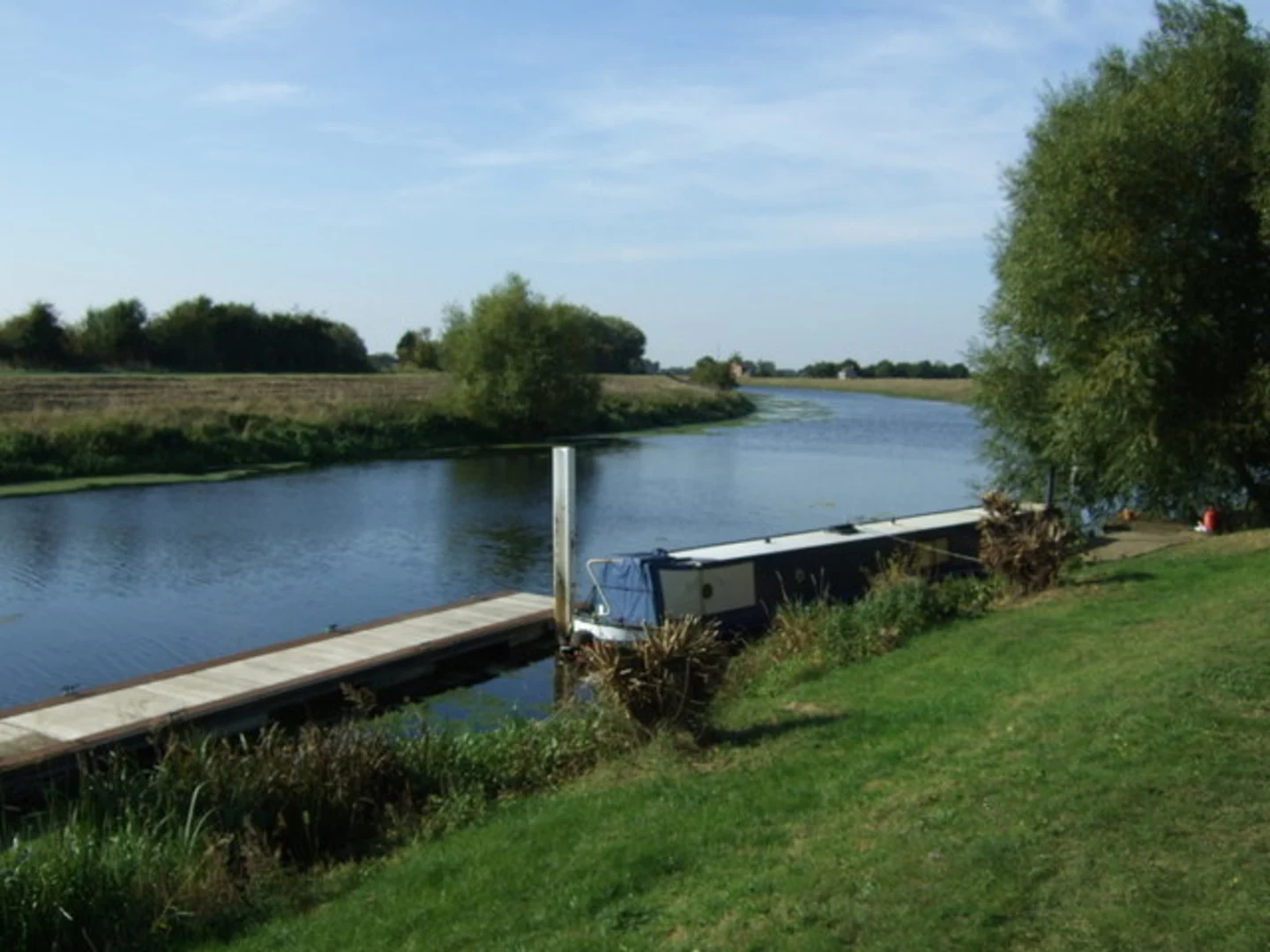
Starting near the picturesque village of Tattershall Bridge in Lincolnshire, England, this 3 km (approximately 1.86 miles) out-and-back trail offers a delightful walk through the serene English countryside. With an elevation gain of around 0 meters, this trail is relatively flat, making it accessible for most hikers, though it is rated as medium difficulty due to some uneven terrain and potential muddy patches.
Getting There
To reach the trailhead, you can drive or use public transport. If driving, set your GPS to Tattershall Bridge, Lincolnshire. There is limited parking available near the bridge. For those using public transport, the nearest significant landmark is the Tattershall Castle, which is well-served by local buses. From there, it's a short walk to the trailhead.
Trail Overview
The trail begins near Tattershall Bridge, a charming spot that offers views of the River Witham. As you start your hike, you'll follow the riverbank, which provides a peaceful and scenic backdrop. The trail is well-marked, but it's always a good idea to have a navigation tool like HiiKER to ensure you stay on track.
Points of Interest
- Tattershall Castle: Just a short distance from the trailhead, this 15th-century red-brick castle is a must-see. Although not directly on the trail, it's worth a visit either before or after your hike.
- River Witham: The trail closely follows the River Witham, offering beautiful views and opportunities to spot local wildlife such as swans, ducks, and various bird species.
- Dogdyke Pumping Station: Approximately 1.5 km (0.93 miles) into the hike, you'll come across the historic Dogdyke Pumping Station. This Victorian-era pumping station is a fascinating piece of engineering history and is sometimes open to the public for tours.
Nature and Wildlife
The trail is rich in natural beauty. The riverbanks are lined with willow trees and wildflowers, creating a picturesque setting. Keep an eye out for local wildlife, including herons, kingfishers, and occasionally otters. The flat terrain makes it an excellent spot for birdwatching.
Historical Significance
The region around Tattershall Bridge has a rich history. Tattershall Castle, built in the 15th century, was once a symbol of wealth and power. The Dogdyke Pumping Station, built in 1856, played a crucial role in draining the surrounding fenland, making it arable and habitable. Walking this trail offers a glimpse into the area's historical efforts to manage and utilize the landscape.
Trail Conditions and Tips
The trail is generally well-maintained but can become muddy, especially after rain. Waterproof boots are recommended. There are no significant elevation changes, making it suitable for hikers of various fitness levels. However, the uneven terrain and potential for mud contribute to its medium difficulty rating.
Navigation
While the trail is straightforward, using HiiKER can help you navigate any less obvious sections and ensure you stay on the correct path. The app provides detailed maps and real-time GPS tracking, which can be particularly useful in this rural area.
This trail offers a blend of natural beauty, historical landmarks, and a peaceful walking experience. Whether you're a local or visiting Lincolnshire, it's a wonderful way to spend a few hours immersed in the English countryside.

What to expect?
Activity types
Comments and Reviews
User comments, reviews and discussions about the Tattershall Bridge to Dogdyke Walk, England.
4.0
average rating out of 5
1 rating(s)