Download
3D Flyover
Add to list
More
21.8 km
~4 hrs 45 min
237 m
Point-to-Point
“Starting in Markfield, this 22 km trail blends natural beauty, historical landmarks, and moderate challenges.”
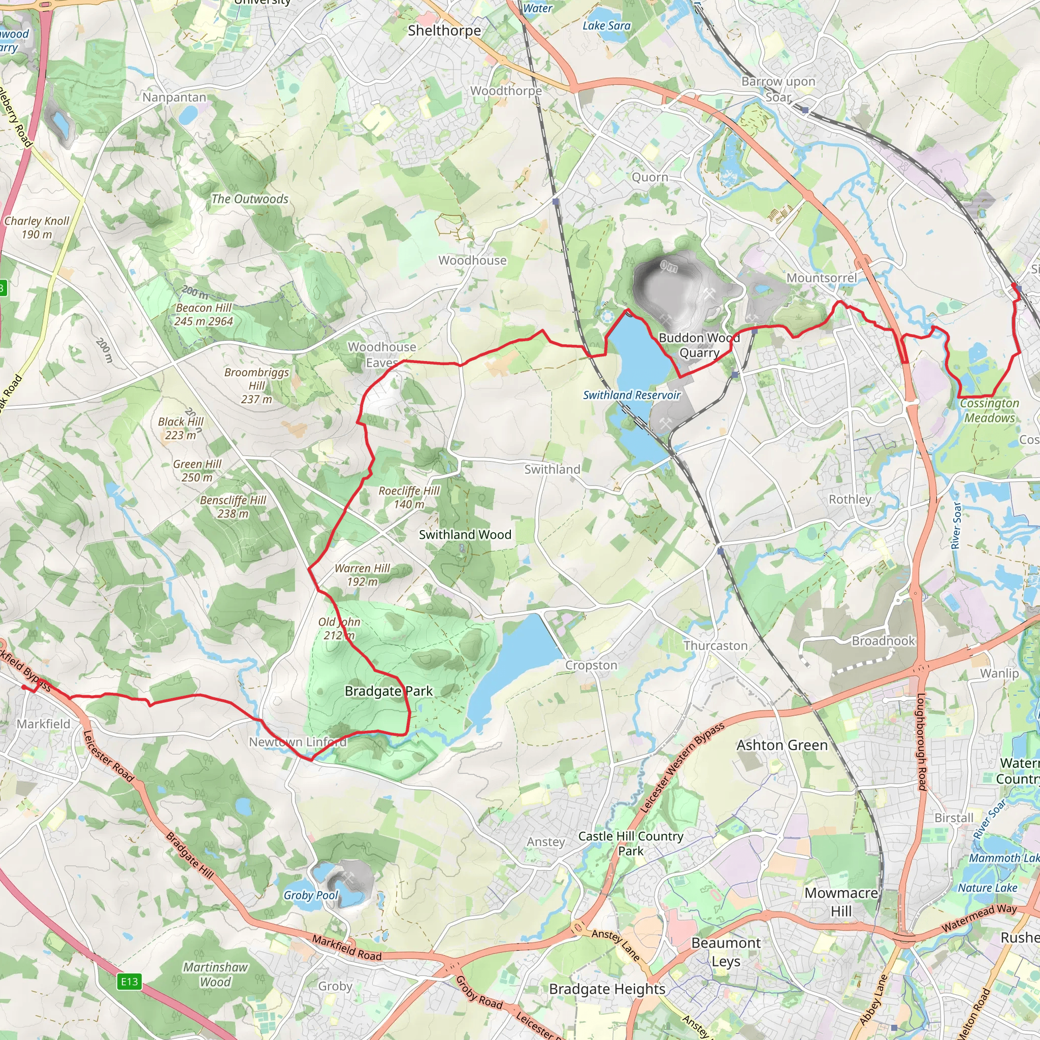
Starting near the charming village of Markfield in Leicestershire, England, this 22 km (approximately 13.7 miles) point-to-point trail offers a delightful mix of natural beauty, historical landmarks, and moderate challenges. With an elevation gain of around 200 meters (656 feet), this trail is rated as medium difficulty, making it suitable for hikers with some experience.
Getting There
To reach the trailhead, you can either drive or use public transport. If driving, you can park near the center of Markfield, close to the Markfield Community Centre. For those using public transport, the nearest major train station is Leicester. From Leicester, you can take a bus to Markfield, with several routes available that will drop you off near the starting point.
Trail Overview
The trail begins in Markfield, a village known for its historical significance and picturesque landscapes. As you set off, you'll pass by the historic St. Michael and All Angels Church, a beautiful example of medieval architecture. The first few kilometers are relatively flat, allowing you to ease into the hike.
Nature and Wildlife
As you progress, you'll enter the Charnwood Forest area, a region rich in biodiversity. Keep an eye out for native wildlife such as deer, foxes, and a variety of bird species. The forest is also home to ancient oak and beech trees, providing a lush canopy overhead.
Significant Landmarks
Around the 8 km (5 miles) mark, you'll come across Bradgate Park, a historic deer park that dates back to the 13th century. The park is home to the ruins of Bradgate House, the birthplace of Lady Jane Grey, the Nine Days' Queen. This is a great spot to take a break and explore the ruins, as well as enjoy the scenic views of the surrounding countryside.
Elevation Gain
The trail starts to gain elevation as you leave Bradgate Park, with a steady climb that offers panoramic views of the Leicestershire landscape. The highest point of the trail is around 150 meters (492 feet) above sea level, providing a rewarding vantage point.
Navigation
Navigating this trail is straightforward, but it's always a good idea to have a reliable navigation tool. HiiKER is highly recommended for its detailed maps and real-time updates. Make sure to download the trail map before you set off, as mobile signal can be patchy in some areas.
Final Stretch
As you approach the final stretch towards Sileby, the terrain becomes more varied, with a mix of open fields and wooded areas. The village of Sileby, your endpoint, is a quaint settlement with a rich history dating back to the Domesday Book. Here, you can explore the local pubs and cafes to relax after your hike.
Historical Significance
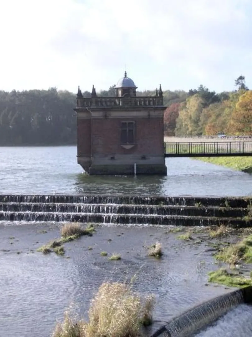
The region between Markfield and Sileby is steeped in history. From the medieval churches and ancient woodlands to the historic Bradgate Park, the trail offers a journey through time as well as nature. The area was also significant during the Industrial Revolution, with remnants of old quarries and mills visible along the route.
This trail offers a perfect blend of natural beauty, historical intrigue, and moderate physical challenge, making it a rewarding experience for any hiker.
What to expect?
Activity types
Comments and Reviews
User comments, reviews and discussions about the Markfield to Sileby Walk, England.
average rating out of 5
0 rating(s)
