Download
3D Flyover
Add to list
More
5.6 km
~1 hrs 8 min
14 m
Point-to-Point
“"Explore the John O Gaunt Covert trail for 6 km of flat, historical, and scenic hiking."”
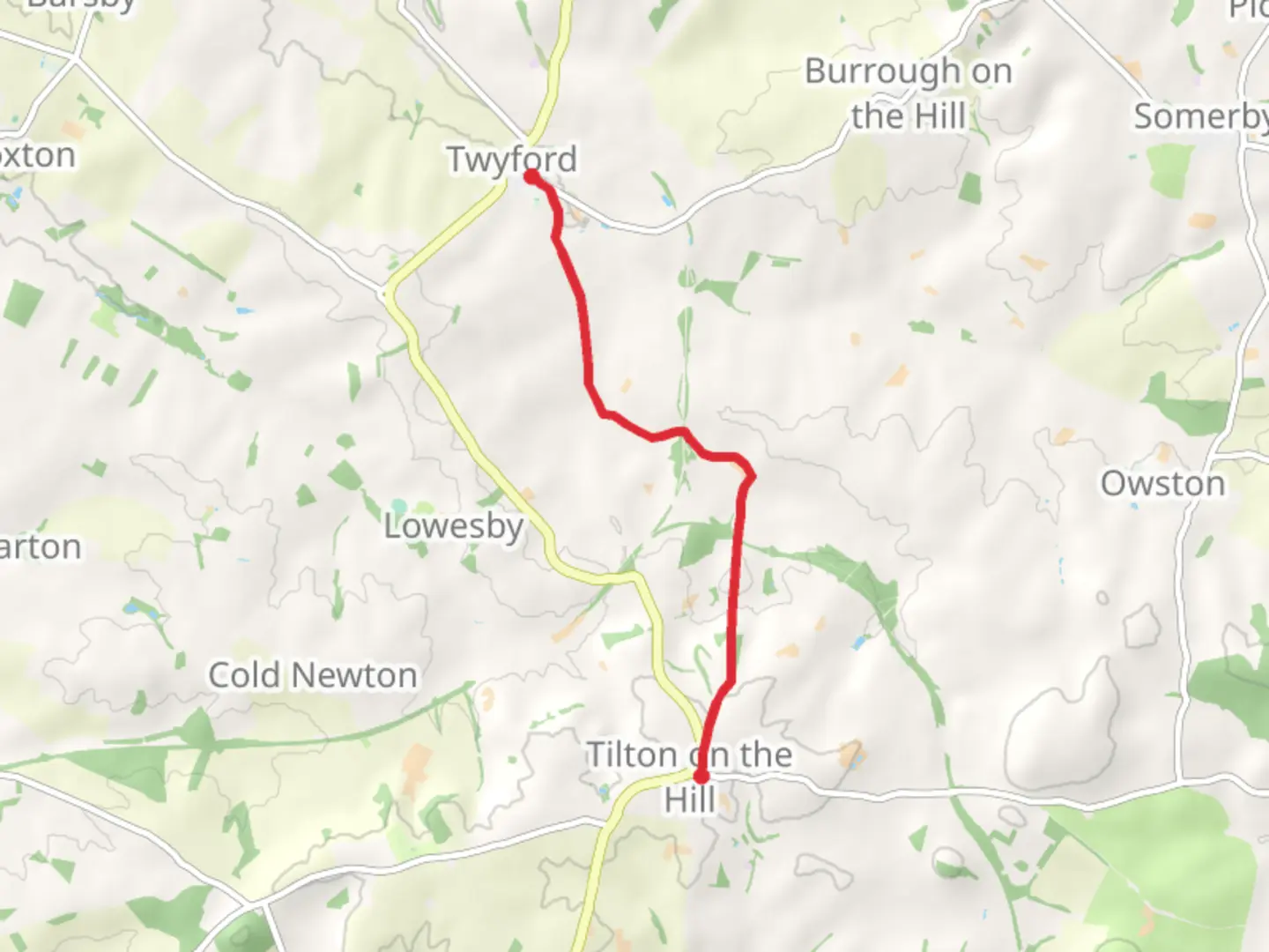
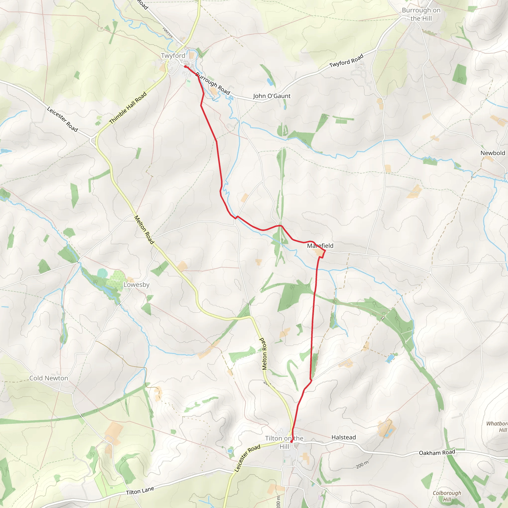
Starting near Leicestershire, England, the John O Gaunt Covert trail is a point-to-point hike that spans approximately 6 km (around 3.7 miles) with no significant elevation gain, making it a relatively flat journey. This trail is estimated to be of medium difficulty, suitable for hikers with a moderate level of fitness.
Getting There
To reach the trailhead, you can drive or use public transport. If driving, set your GPS to the vicinity of John O' Gaunt Inn, Melton Mowbray, Leicestershire, which is the nearest known landmark. For those using public transport, the closest major town is Melton Mowbray. From there, you can take a local bus or taxi to the trailhead.
Trail Overview
The trail begins near the John O' Gaunt Inn, a historic pub that dates back to the 16th century. This area is steeped in history, named after John of Gaunt, the Duke of Lancaster, who was a significant figure in medieval England. As you start your hike, you'll be walking through a landscape that has seen centuries of history unfold.
Nature and Wildlife
The trail meanders through a mix of woodland and open fields, offering a variety of natural scenery. Keep an eye out for local wildlife, including deer, foxes, and a variety of bird species. The woodlands are particularly beautiful in the spring when bluebells carpet the forest floor, and in the autumn when the leaves turn vibrant shades of red and gold.
Significant Landmarks
About 2 km (1.2 miles) into the hike, you'll come across the remnants of an old railway line. This disused track is a relic from the Victorian era when railways were the lifeblood of industrial England. It's a poignant reminder of the area's industrial past.
Further along, at approximately 4 km (2.5 miles), you'll encounter a small, picturesque pond. This is a great spot to take a break and enjoy a picnic. The pond is often frequented by ducks and other waterfowl, making it a peaceful place to relax.
Navigation
Given the relatively straightforward nature of the trail, navigation is generally easy. However, it's always wise to have a reliable navigation tool. The HiiKER app is highly recommended for this purpose, providing detailed maps and real-time location tracking to ensure you stay on course.
Final Stretch
As you approach the end of the trail, you'll find yourself back in open fields, with expansive views of the surrounding countryside. The trail concludes near the village of Somerby, another quaint English village worth exploring if you have the time.
Practical Tips
- Wear sturdy walking boots, as the trail can be muddy, especially after rain.
- Bring water and snacks, as there are no facilities along the trail.
- Check the weather forecast before you go, and dress accordingly.
- Be mindful of local wildlife and stick to the designated paths to minimize your impact on the environment.
This trail offers a delightful mix of natural beauty and historical intrigue, making it a rewarding hike for those looking to explore the English countryside.
What to expect?
Activity types
Comments and Reviews
User comments, reviews and discussions about the John O Gaunt Covert, England.
4.0
average rating out of 5
5 rating(s)
