Download
3D Flyover
Add to list
More
20.2 km
~4 hrs 38 min
362 m
Loop
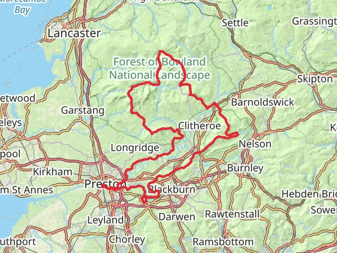
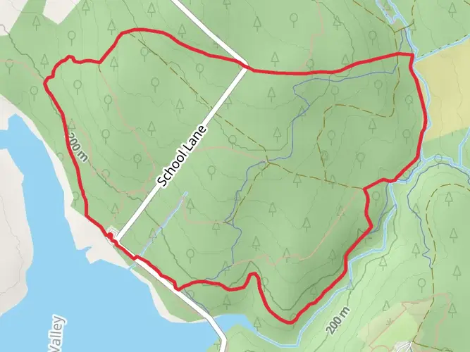
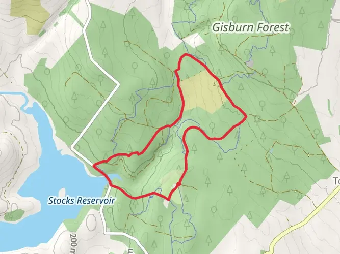
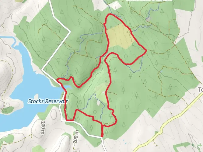
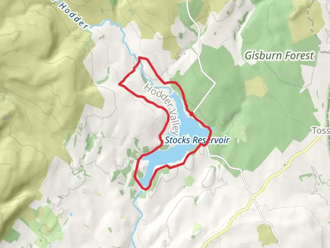
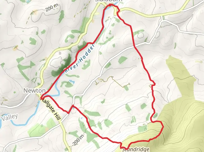
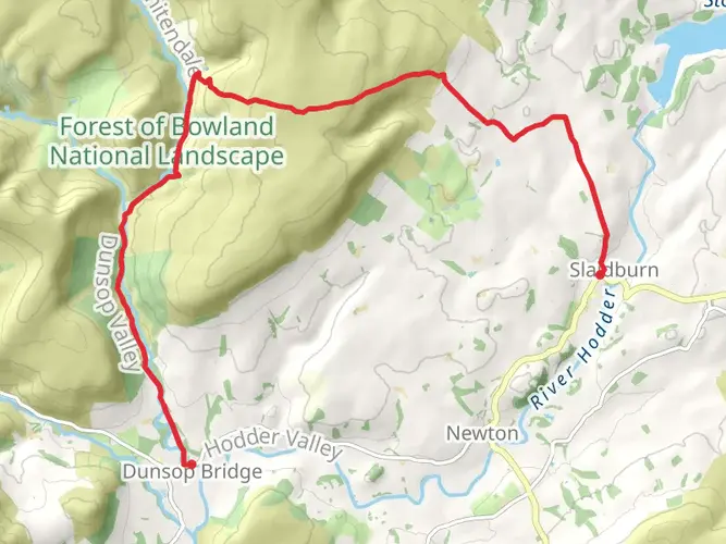
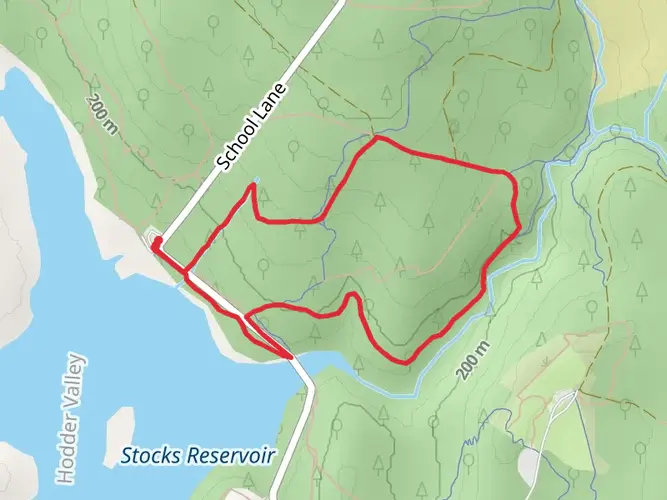
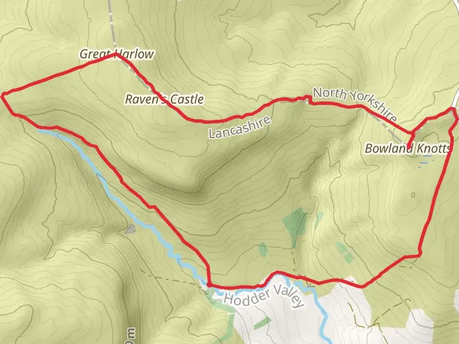
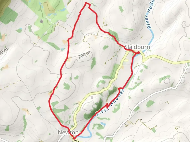
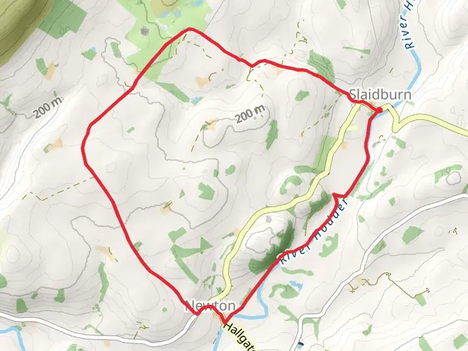
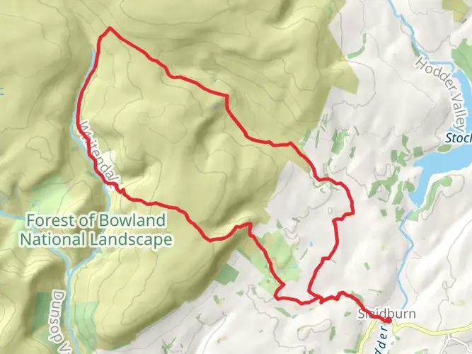
Embrace an exhilarating experience at the Forest of Bowland AONB on Dec 10th. Ideal for beginners, this easy-level excursion offers an approximate 4.6-hour amble over a 20.20 km stretch. Expect a moderate workout with a 363m-gain incline, later balanced by a 402m descent. This non-overnight adventure begins and concludes at the charming School Lane in Clitheroe — a pleasant town nestled in the heart of England's picturesque countryside. Despite its ease, the journey promises a memorable exploration of the serene beauty and rich biodiversity of the United Kingdom's celebrated landscape.
AI Planner
Days planned around your pace, with somewhere to stay each night.

What to expect?
Surfaces
Unknown
Asphalt
Gravel
Unpaved
Comments and Reviews
User comments, reviews and discussions about the Gisburn forest, England.
3.67
average rating out of 5
3 rating(s)