Download
3D Flyover
Add to list
More
10.2 km
~2 hrs 35 min
326 m
Loop
“A richly varied Dales loop weaving riverside calm, limestone scars, cave drama, and airy fellside views.”
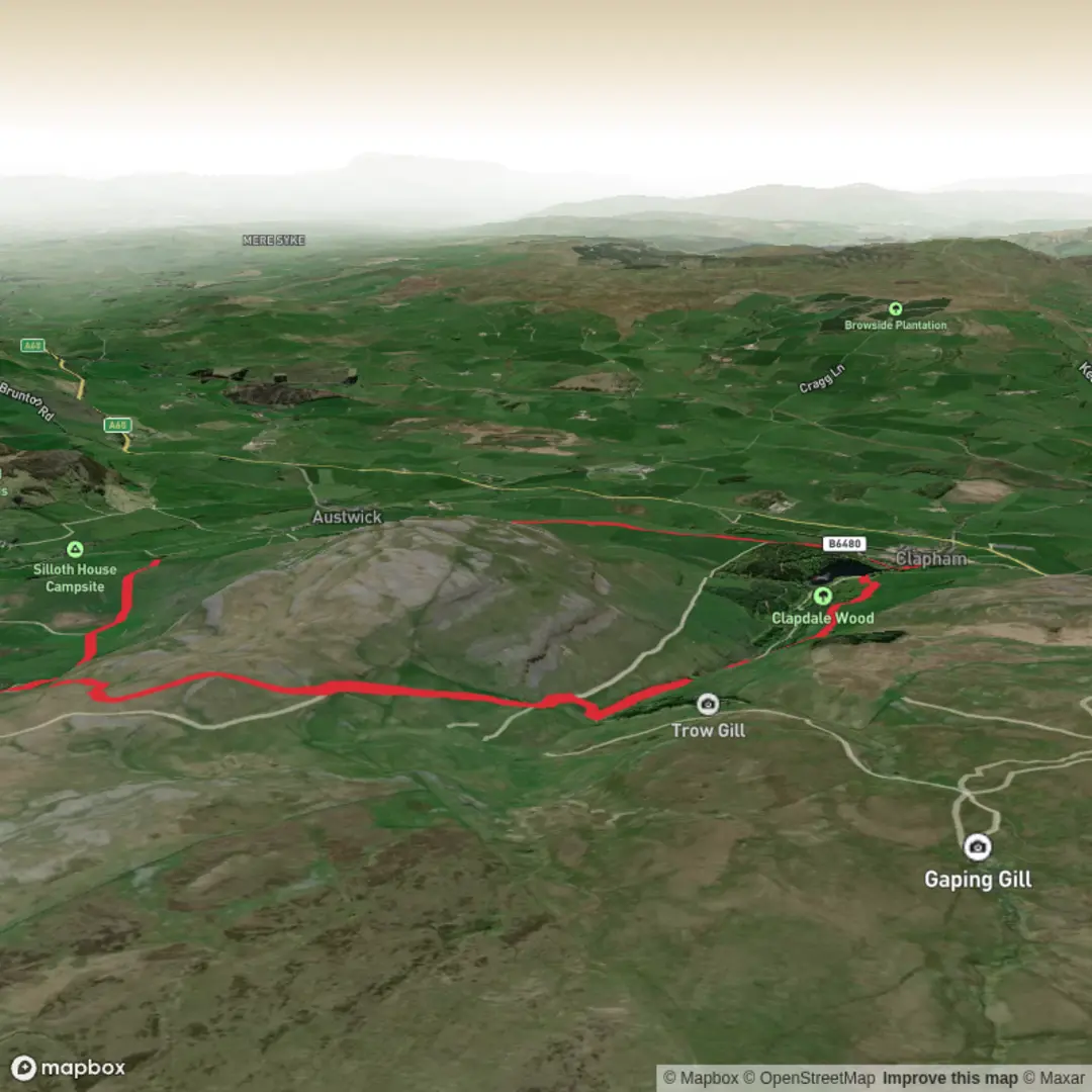
This 10 km / 6.2 mile loop in the Clapham area of the Yorkshire Dales packs a lot into a relatively moderate day: riverside walking, limestone country, cave scenery, open fellside views, and a strong sense of the region’s geological history. With around 300 metres / 985 feet of ascent, it sits well in the medium category. The gradients are generally manageable, but the route feels more serious than the numbers suggest because sections can be rough underfoot, exposed in poor weather, and confusing where paths split across limestone pasture and scar edges.
The walk begins near Clapham village, North Yorkshire, with the most practical start point being the Yorkshire Dales National Park car park in Clapham, LA2 8EA, close to the village centre and the signed approach to Ingleborough Cave. The nearby significant landmark is Ingleborough Estate Nature Trail / Ingleborough Cave, Clapham. Clapham lies just off the A65, making it straightforward to reach by car, and the village also has a regular bus stop and a railway station on the Leeds–Morecambe line, though Clapham station is about 1.2 miles / 1.9 km from the village centre. Bus services stop near The New Inn in Clapham, and from both the station and village there are signs toward Ingleborough Cave and the estate trail. (ingleboroughcave.co.uk)
From the start, expect a gentle settling-in section through and beyond the village before the route heads into classic Dales limestone scenery. The early part of the loop is usually the easiest going, with tracks and lanes leading toward Encombe Bridge and the rising ground beneath the scars. This is a landscape shaped by Carboniferous limestone, with dry stone walls, pasture, beck crossings, and pale rock outcrops becoming more prominent as height is gained. The climb is not especially long, but it comes in enough stages to be noticeable, especially if the ground is wet or if there is a strong wind on the more open sections. The scars themselves are one of the defining features of the walk: broken limestone edges and shelves that give the route much of its character. The National Park describes this part of Clapham’s setting as a karst landscape of limestone scars, pavements and caves, and that is exactly what gives the walk its distinct feel. (yorkshiredales.org.uk)
Terrain and what to expect
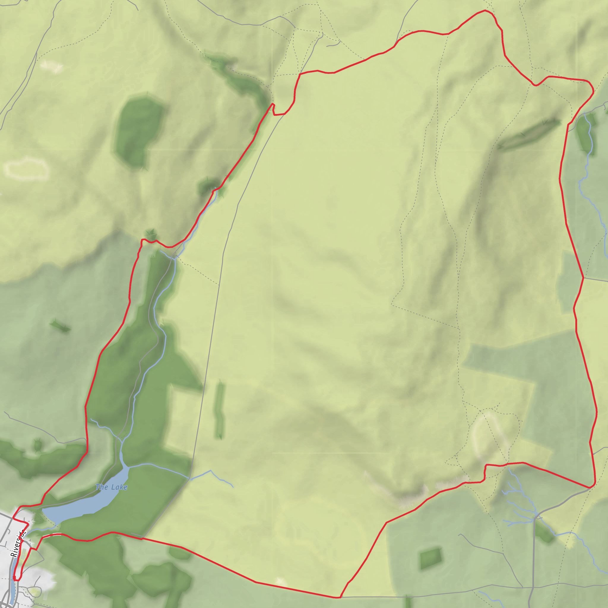
Around Nappa Scars and Long Scar, the route becomes more scenic and more rugged. These sections tend to offer the best sense of space, with views across the folds of the southern Dales and back toward Clapham. Underfoot, hikers should expect a mix of field paths, stony tracks, uneven grass, and potentially slick limestone. After rain, the rock can be greasy, and in mist the scar country can feel more intricate than it first appears. Good footwear is important, and this is a route where checking the line in HiiKER before and during the walk is worthwhile, especially at junctions near walls, gates, and branching tracks.
Although the total ascent is only about 300 m / 985 ft, some of the route’s effort comes from constant variation rather than one single climb. There are short rises, descents, and traverses around the scar edges, and these can feel tiring if carrying a full daypack or walking in poor conditions. In summer, the open sections can be warm and exposed; in colder months, wind and low cloud can make the higher ground feel much harsher than the valley start suggests.
Landmarks, geology and local character
One of the standout landmarks on this loop is Ingleborough Cave, reached via the estate side of the route. The cave has been a visitor attraction since 1837, and the approach to it is part of what makes this area so memorable: woodland, water, and then the dramatic limestone setting beneath Ingleborough. The cave itself is one of the Yorkshire Dales’ best-known show caves, and the surrounding landscape is tied to a much larger underground system of caves, sinkholes, and watercourses. Clapham Beck and the nearby limestone country are part of a classic Dales hydrological story, where water disappears underground and re-emerges elsewhere through cave systems and resurgences. (yorkshiredales.org.uk)
The wider area around Clapham is historically significant as well as geologically important. The Ingleborough Estate Nature Trail was established in 1970 to mark European Conservation Year and to commemorate Reginald Farrer, the Clapham-born plantsman, writer, and
Surfaces
Grass
Unknown
Gravel
Unpaved
Asphalt
Paved
Cobblestone
Dirt
Comments and Reviews
User comments, reviews and discussions about the Encombe Bridge, Nappa Scars, Long Scar and Ingleborough Cave Loop, England.
average rating out of 5
0 rating(s)
