Download
3D Flyover
Add to list
More
12.0 km
~2 hrs 59 min
355 m
Loop
“Explore lush woods, open moorlands, and historical sites on this 12 km scenic loop near Lancashire.”
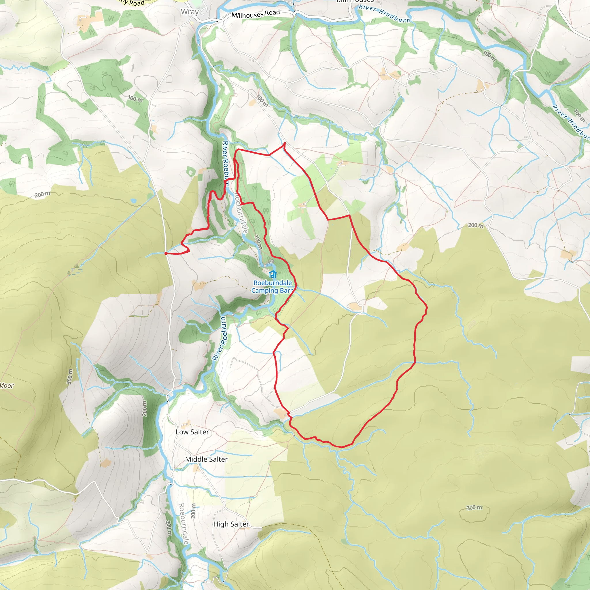
Starting near Lancashire, England, this 12 km (approximately 7.5 miles) loop trail offers a moderate challenge with an elevation gain of around 300 meters (about 984 feet). The trailhead is accessible by car, with parking available nearby. For those using public transport, the nearest significant landmark is the town of Lancaster, from where local buses or taxis can take you closer to the trailhead.
Trail Overview
The trail begins with a gentle ascent through Bowskill Wood, a serene forested area known for its lush greenery and diverse birdlife. As you make your way through the woods, keep an eye out for native species such as the European robin and the great spotted woodpecker. The first 2 km (1.2 miles) of the trail are relatively easy, with a gradual elevation gain of about 50 meters (164 feet).
Cattle Grid and Open Moorland
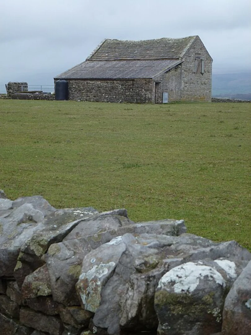
After exiting Bowskill Wood, you will encounter a cattle grid, marking the transition from forest to open moorland. This section of the trail offers expansive views of the surrounding countryside. The terrain becomes more rugged here, with a steeper climb of approximately 100 meters (328 feet) over the next 3 km (1.9 miles). The open moorland is home to various wildlife, including red grouse and roe deer. Be sure to stay on the marked path to avoid disturbing the natural habitat.
Wray Wood Moor Tarn
At around the 5 km (3.1 miles) mark, you will reach Wray Wood Moor Tarn, a picturesque tarn nestled amidst the moorland. This is an ideal spot for a short break, allowing you to take in the tranquil scenery and perhaps spot some aquatic birds like the mallard or the tufted duck. The tarn is also a great place for photography, especially during sunrise or sunset when the light creates stunning reflections on the water.
Historical Significance
The area around Wray Wood Moor Tarn has historical significance, with remnants of ancient settlements and stone circles that date back to the Bronze Age. These archaeological sites offer a glimpse into the region's rich history and are worth exploring if time permits. The trail continues to undulate gently for the next 4 km (2.5 miles), with minor elevation changes that make for a pleasant walk.
Return to Trailhead
The final stretch of the trail leads you back through a mix of woodland and open fields, gradually descending about 150 meters (492 feet) over the last 3 km (1.9 miles). This section is relatively easy and provides a relaxing end to your hike. As you approach the trailhead, you'll pass through a small village where you can find local amenities such as a pub or a café to refresh yourself after the hike.
Navigation and Safety
For navigation, it is highly recommended to use the HiiKER app, which provides detailed maps and real-time updates on trail conditions. Ensure you have adequate water, snacks, and appropriate clothing for changing weather conditions. The trail is well-marked, but having a reliable navigation tool will enhance your hiking experience and ensure you stay on the right path.
This loop trail offers a blend of natural beauty, wildlife, and historical intrigue, making it a rewarding hike for those prepared for a moderate challenge.
What to expect?
Activity types
Comments and Reviews
User comments, reviews and discussions about the Bowskill Wood, Cattle Grid and Wray Wood Moor Tarn Loop, England.
5.0
average rating out of 5
3 rating(s)
