Download
Preview
Add to list
More
10.0 km
~2 hrs 27 min
275 m
Loop
“Explore Kirklees' scenic landscapes and historic landmarks on this moderately challenging 10 km loop trail.”
Starting near Kirklees, England, this 10 km (approximately 6.2 miles) loop trail offers a moderate challenge with an elevation gain of around 200 meters (656 feet). The trailhead is conveniently accessible by car or public transport. If driving, you can park near the Standedge Tunnel Visitor Centre, which is a significant landmark in the area. For those using public transport, the nearest train station is Marsden, from where you can take a short bus ride or a pleasant walk to the trailhead.
Initial Ascent and Standedge Tunnel
The hike begins with a gentle ascent, leading you through picturesque moorlands. Early on, you'll encounter the Standedge Tunnel, the longest, highest, and deepest canal tunnel in the UK. This engineering marvel, completed in 1811, is a testament to the industrial heritage of the region. The tunnel is part of the Huddersfield Narrow Canal and offers a fascinating glimpse into the area's history.
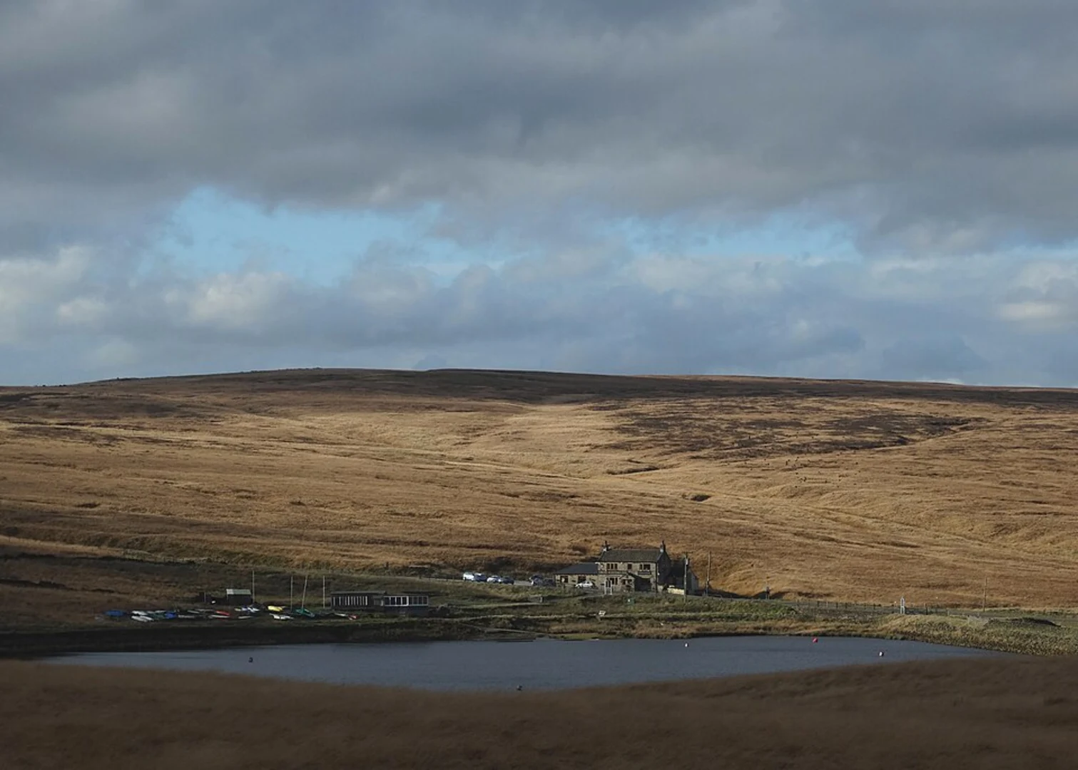
Upper Castleshaw Reservoir
As you continue, the trail takes you towards the Upper Castleshaw Reservoir. This serene body of water is surrounded by rolling hills and offers a peaceful spot for a short break. The reservoir is part of the Castleshaw Valley, which has a rich history dating back to Roman times. The remains of a Roman fort can be found nearby, adding a layer of historical intrigue to your hike.
Wildlife and Flora
The trail is abundant with wildlife and diverse flora. Keep an eye out for birds such as curlews, lapwings, and skylarks, which are commonly seen in the area. The moorlands are also home to various species of heather and wildflowers, particularly vibrant in late summer. The diverse ecosystem provides ample opportunities for nature enthusiasts to enjoy birdwatching and plant identification.
Navigation and Terrain
The terrain varies from well-defined paths to more rugged sections, so sturdy hiking boots are recommended. The trail is well-marked, but it's always a good idea to have a reliable navigation tool like HiiKER to ensure you stay on track. The app can provide real-time updates and detailed maps, making your hike more enjoyable and stress-free.
Final Descent and Return
The final section of the trail involves a descent back towards the starting point. This part of the hike offers stunning views of the surrounding countryside, with panoramic vistas that are particularly breathtaking on clear days. As you make your way back, you'll pass through charming rural landscapes, dotted with traditional stone walls and farmhouses.
This loop trail is a perfect blend of natural beauty, historical significance, and moderate physical challenge, making it an ideal choice for hikers looking to explore the rich heritage and scenic landscapes of Kirklees.

What to expect?
Activity types
Comments and Reviews
User comments, reviews and discussions about the Standedge and Upper Castleshaw Reservoir via GM Ringway, England.
5.0
average rating out of 5
1 rating(s)