
Download
3D Flyover
Add to list
More
7.1 km
~1 hrs 30 min
57 m
Loop
“Experience Whitstable's vibrant harbour, coastal charm, and rich history on this accessible 7 km loop trail.”
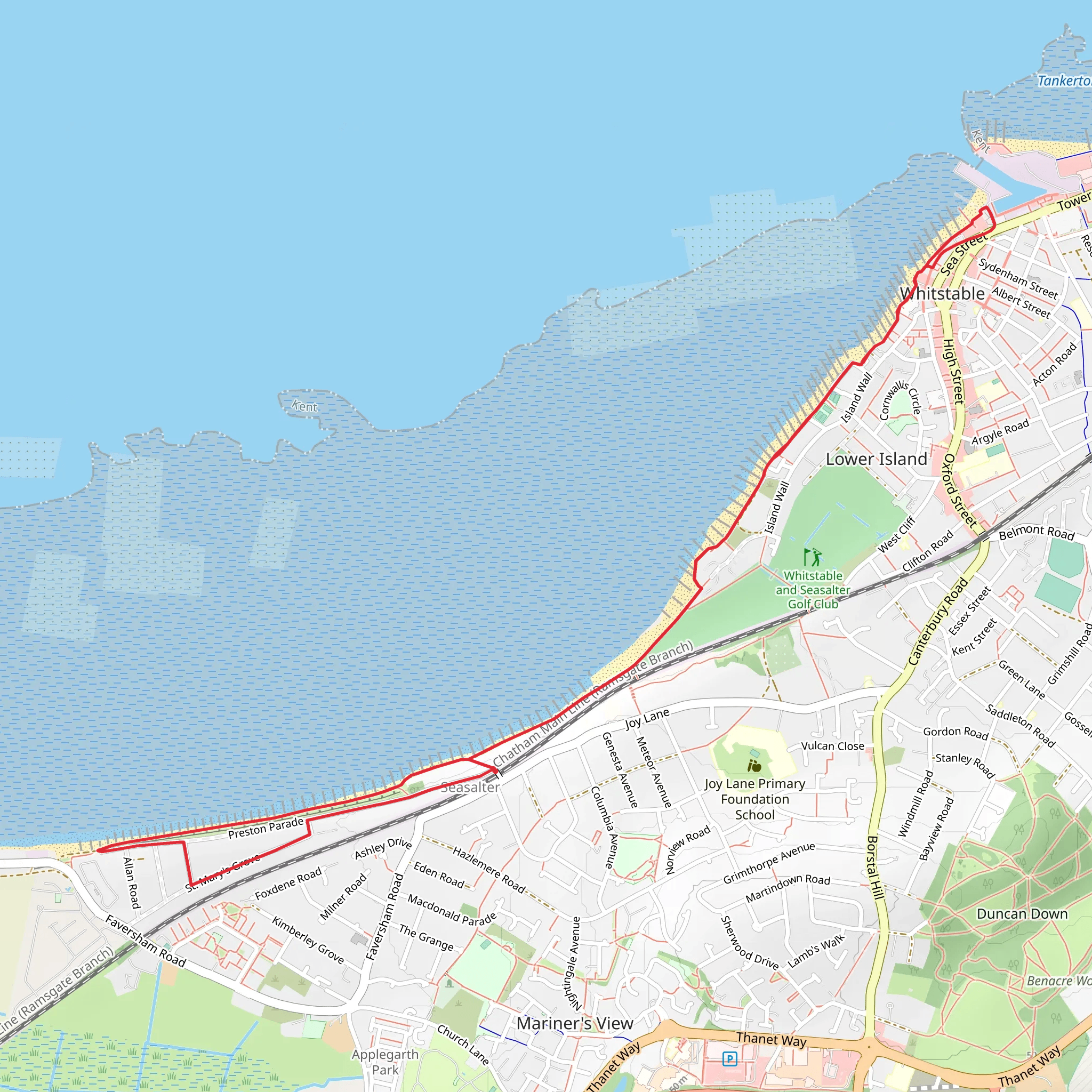
Starting near the charming town of Whitstable in Kent, England, this 7 km (approximately 4.3 miles) loop trail offers a delightful coastal experience with zero elevation gain, making it accessible for a wide range of hikers. The trailhead is conveniently located near Whitstable Harbour, a bustling area known for its seafood markets and vibrant atmosphere.
Getting There
For those traveling by public transport, Whitstable is well-served by trains from London Victoria and St Pancras International, with the journey taking around 1.5 hours. The Whitstable train station is just a short walk from the harbour. If you're driving, Whitstable is easily accessible via the M2 motorway, and there are several car parks near the harbour, including the Gorrell Tank Car Park.
Trail Highlights
As you set off from Whitstable Harbour, you'll immediately be greeted by the sight of colorful fishing boats and the smell of fresh seafood. The harbour area is a hive of activity, with plenty of opportunities to sample local oysters, for which Whitstable is famous.
Whitstable Harbour
The harbour itself has a rich history dating back to the 18th century when it was a major hub for the oyster trade. Today, it remains a focal point of the town, blending historical charm with modern amenities.
England Coast Path
Following the England Coast Path, you'll walk along the shoreline, where the trail is well-marked and easy to follow. The path offers stunning views of the North Sea, and on clear days, you can see as far as the Isle of Sheppey. The coastal path is also part of the larger England Coast Path, which aims to create a continuous walking route around the entire English coastline.
Nature and Wildlife
The coastal environment is rich in biodiversity. Keep an eye out for various seabirds, including oystercatchers, gulls, and terns. The intertidal zones are teeming with marine life, and during low tide, you might spot crabs, starfish, and other sea creatures.
Mean High Water Mark
As you continue along the trail, you'll reach the Mean High Water mark, a significant point that indicates the average high tide line. This area is particularly interesting for those fascinated by tidal patterns and coastal geography.
Historical Significance
The trail also passes by several historical landmarks. One notable site is the Old Neptune Pub, affectionately known as "The Neppy." This iconic pub, perched right on the beach, has withstood numerous storms and floods since it was built in the 19th century. It's a great spot to take a break and enjoy a pint with a view.
Navigation and Safety
While the trail is relatively straightforward, it's always a good idea to have a reliable navigation tool. HiiKER is an excellent app for this purpose, providing detailed maps and real-time updates. The path can be slippery in wet conditions, so appropriate footwear is recommended.
Final Stretch
As you loop back towards Whitstable Harbour, you'll pass through Tankerton Slopes, a grassy area offering panoramic views of the coastline. This is a perfect spot for a picnic or simply to relax and take in the scenery.
The trail concludes back at Whitstable Harbour, where you can reward yourself with some of the town's famous seafood or explore the local shops and galleries. This 7 km loop is a perfect blend of natural beauty, historical intrigue, and coastal charm, making it a must-do for any hiking enthusiast.
What to expect?
Activity types
Comments and Reviews
User comments, reviews and discussions about the Whitstable Harbour and Mean High Water via England Coast Path, England.
4.67
average rating out of 5
6 rating(s)


