Download
Preview
Add to list
More
9.8 km
~2 hrs 15 min
183 m
Loop
“Explore the scenic 10 km Westerham and Limpsfield Chart Loop, combining history, nature, and moderate hiking challenges.”
Starting near the charming village of Westerham in Kent, England, the Westerham and Limpsfield Chart Loop is a delightful 10 km (6.2 miles) loop trail with an elevation gain of approximately 100 meters (328 feet). This trail is rated as medium difficulty, making it suitable for moderately experienced hikers.
Getting There
To reach the trailhead, you can drive to Westerham, which is easily accessible via the M25 motorway. For those using public transport, the nearest train station is Oxted, from which you can take a short bus ride to Westerham. Alternatively, you can catch a bus directly from London to Westerham.
Trail Overview
The trail begins near the center of Westerham, a village steeped in history. As you set off, you'll pass by the statue of Sir Winston Churchill, who lived nearby at Chartwell. The first section of the trail takes you through the picturesque village, offering a glimpse of traditional English architecture.
Nature and Wildlife
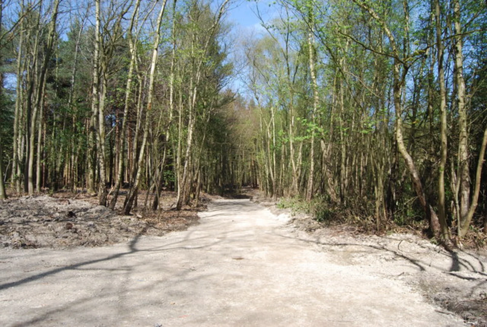
As you leave the village, the trail meanders through a mix of woodland and open fields. The Limpsfield Chart area is known for its ancient woodlands, where you can spot a variety of wildlife, including deer, foxes, and numerous bird species. The trail is particularly beautiful in spring when the bluebells are in full bloom.
Significant Landmarks
Around the 3 km (1.9 miles) mark, you'll come across the historic St. Peter's Church in Limpsfield. This church dates back to the 12th century and is worth a brief detour to explore its ancient architecture and tranquil churchyard.
Elevation and Terrain
The trail features gentle ascents and descents, with the most significant climb occurring around the halfway point. Here, you'll gain approximately 50 meters (164 feet) in elevation over a short distance, offering rewarding views of the surrounding countryside.
Navigation
The trail is well-marked, but it's always a good idea to have a reliable navigation tool. HiiKER is an excellent app for this purpose, providing detailed maps and real-time tracking to ensure you stay on course.
Points of Interest
As you continue, you'll pass through the Limpsfield Common, managed by the National Trust. This area is rich in history and natural beauty, with several WWII pillboxes hidden among the trees, remnants of Britain's wartime defenses.
Final Stretch
The last section of the trail brings you back towards Westerham, passing through more open fields and offering stunning views of the North Downs. As you approach the village, you'll have the opportunity to visit Chartwell, the former home of Sir Winston Churchill, now a National Trust property.
Practical Information
The trail is accessible year-round, but the best times to hike are in the spring and autumn when the weather is mild, and the scenery is at its most vibrant. Wear sturdy hiking boots, as some sections can be muddy, especially after rain. Bring water and snacks, as there are limited facilities along the route.
This loop trail offers a perfect blend of natural beauty, historical landmarks, and moderate physical challenge, making it a rewarding experience for any hiker.

What to expect?
Activity types
Comments and Reviews
User comments, reviews and discussions about the Westerham and Limpsfield Chart Loop, England.
5.0
average rating out of 5
1 rating(s)