Download
3D Flyover
Add to list
More
6.8 km
~1 hrs 31 min
105 m
Loop
“Embark on the Pluckley to Little Chart Loop for a scenic, historic, and moderately challenging 7 km hike.”
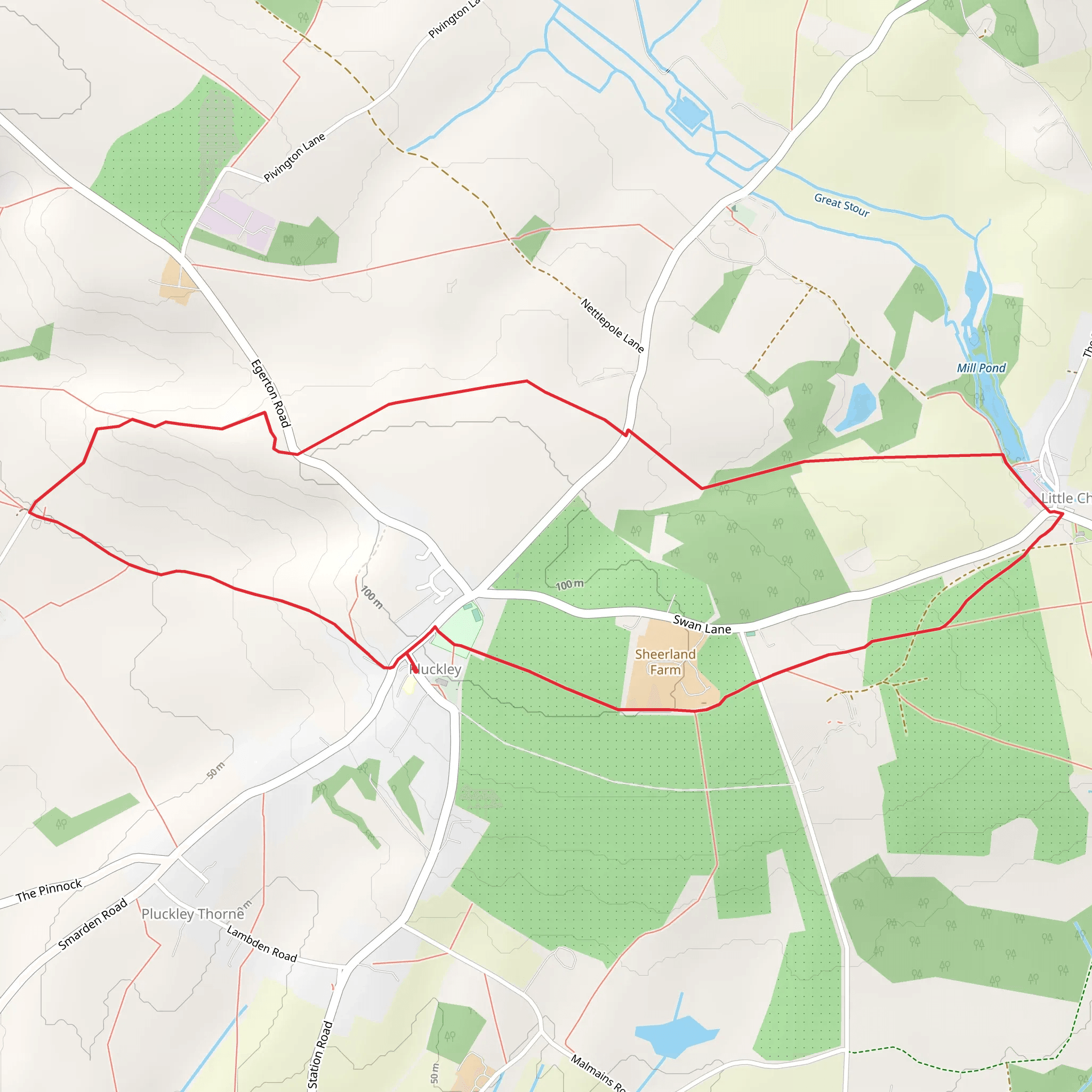
Starting near the charming village of Pluckley in Kent, England, the Pluckley to Little Chart Loop is a delightful 7 km (approximately 4.3 miles) trail with an elevation gain of around 100 meters (328 feet). This loop trail offers a medium difficulty rating, making it suitable for moderately experienced hikers.
Getting There
To reach the trailhead, you can either drive or use public transport. If driving, head towards Pluckley, which is well-signposted from major roads in Kent. There is limited parking available near the village center. For those using public transport, Pluckley has a railway station with regular services from London and Ashford. From the station, it's a short walk to the trailhead.
Trail Navigation
For navigation, it's highly recommended to use the HiiKER app, which provides detailed maps and real-time GPS tracking to ensure you stay on the correct path.
Trail Description
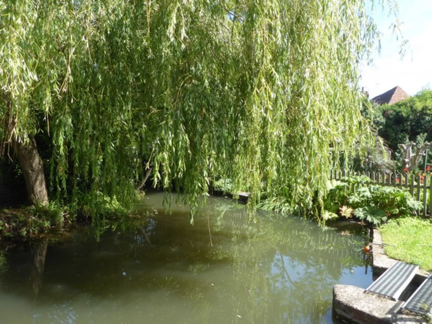
The trail begins in Pluckley, a village known for its picturesque landscapes and historical significance. Pluckley is often referred to as the most haunted village in England, adding an element of intrigue to your hike. As you set off, you'll pass through lush meadows and ancient woodlands, offering a serene start to your journey.
Points of Interest
At approximately 1.5 km (0.9 miles) into the hike, you'll come across the ruins of St. Mary's Church in Little Chart. This church dates back to the 11th century and was partially destroyed during World War II. The ruins are a poignant reminder of the area's rich history and offer a peaceful spot for a short break.
Continuing on, the trail meanders through the Kent countryside, providing stunning views of rolling hills and farmland. Around the 3 km (1.9 miles) mark, you'll encounter a gentle ascent, gaining about 50 meters (164 feet) in elevation. This section offers panoramic views that are particularly breathtaking in the early morning or late afternoon light.
Flora and Fauna
The trail is abundant with local wildlife. Keep an eye out for deer, foxes, and a variety of bird species. The woodlands are home to ancient oak and beech trees, and in the spring, the forest floor is often carpeted with bluebells.
Historical Significance
As you approach the 5 km (3.1 miles) point, you'll pass near the site of the former Little Chart Place, a historic manor house that played a significant role in the local history. Although the manor no longer stands, the area is steeped in stories from the past, adding a layer of historical depth to your hike.
Final Stretch
The final 2 km (1.2 miles) of the trail take you through more open countryside before looping back towards Pluckley. This section is relatively flat, allowing for a leisurely end to your hike. As you return to the village, take some time to explore its quaint streets and perhaps visit a local pub for a well-deserved refreshment.
Practical Tips
- Wear sturdy hiking boots, as some sections of the trail can be muddy, especially after rain.
- Bring a map or use the HiiKER app for navigation.
- Pack water and snacks, as there are limited facilities along the route.
- Check the weather forecast before setting out, as conditions can change rapidly.
This trail offers a perfect blend of natural beauty, historical landmarks, and a moderate challenge, making it a rewarding experience for any hiker.
What to expect?
Activity types
Comments and Reviews
User comments, reviews and discussions about the Pluckley to Little Chart Loop, England.
4.33
average rating out of 5
6 rating(s)
