Download
3D Flyover
Add to list
More
11.1 km
~2 hrs 26 min
136 m
Loop
“Embark on the picturesque Sarratt Bottom and Latimer Loop for a scenic, historical 11 km hike.”
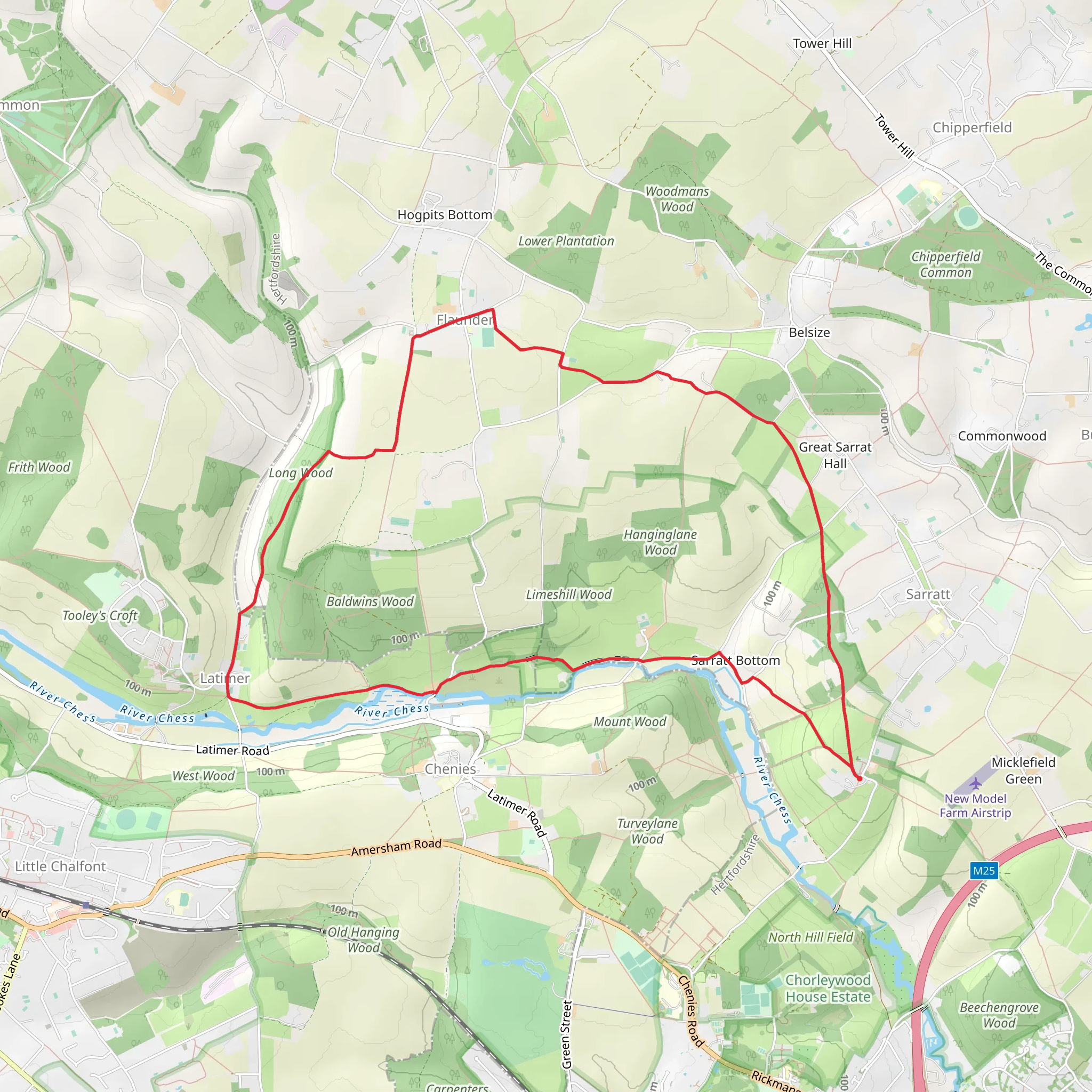
Starting near the picturesque village of Sarratt in Hertfordshire, England, the Sarratt Bottom and Latimer Loop offers a delightful 11 km (approximately 6.8 miles) journey through the English countryside. With an elevation gain of around 100 meters (328 feet), this loop trail is rated as medium difficulty, making it suitable for moderately experienced hikers.
Getting There
To reach the trailhead, you can drive to Sarratt, where parking is available near the village center. If you prefer public transport, the nearest train station is Chorleywood, which is about 4 miles (6.4 km) away. From Chorleywood, you can take a local bus or taxi to Sarratt.
Trail Overview
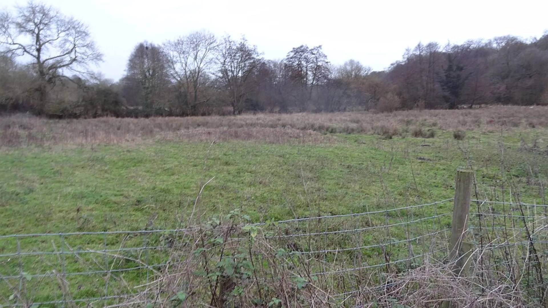
The trail begins in Sarratt, a charming village known for its traditional English cottages and historic St. Paul's Church. As you set off, you'll traverse through lush meadows and woodlands, offering a serene start to your hike. The initial section is relatively flat, allowing you to ease into the journey.
Key Landmarks and Nature
Around the 2 km (1.2 miles) mark, you'll encounter the River Chess, a chalk stream that is home to a variety of wildlife, including kingfishers and water voles. The riverbanks are lined with willow trees, providing a picturesque backdrop for a short rest.
Continuing along the trail, you'll reach Latimer, a village steeped in history. Latimer House, a significant landmark, was used as a secret interrogation center during World War II. Although the house itself is private property, the surrounding grounds offer beautiful views and a glimpse into the area's past.
Elevation and Terrain
As you approach the halfway point, the trail begins to ascend gently, gaining approximately 50 meters (164 feet) over the next 3 km (1.9 miles). This section takes you through dense woodlands, where you might spot deer and a variety of bird species. The terrain here can be uneven, so sturdy hiking boots are recommended.
Navigation and Safety
The trail is well-marked, but it's always wise to have a reliable navigation tool like HiiKER to ensure you stay on track. Be mindful of the weather, as the path can become muddy and slippery after rain.
Final Stretch
The last 3 km (1.9 miles) of the loop bring you back towards Sarratt, descending gradually through open fields and offering panoramic views of the surrounding countryside. This section is relatively easy, allowing you to enjoy the scenery as you make your way back to the village.
Historical Significance
The region around Sarratt and Latimer is rich in history, with evidence of settlements dating back to the Roman era. The area's historical significance adds an extra layer of interest to your hike, making it not just a physical journey but a walk through time.
Whether you're a local or visiting from afar, the Sarratt Bottom and Latimer Loop provides a perfect blend of natural beauty, wildlife, and historical intrigue, making it a rewarding experience for any hiker.
What to expect?
Activity types
Comments and Reviews
User comments, reviews and discussions about the Sarratt Bottom and Latimer Loop, England.
5.0
average rating out of 5
1 rating(s)
